2000s (21st Century) Maps of Molunkus Township, Maine
Explore 20 historic maps of Molunkus Township from the 2000s (21st Century). These maps offer a rare glimpse into what life looked like during the 2000s — showing old roads, neighborhoods, homes, and landmarks that have changed or disappeared over time.
Whether you're researching your family's past, planning a metal detecting trip, or studying how Molunkus Township's landscape evolved across the 2000s, these high-resolution maps are a powerful tool for exploring the history of this region.
- Focus on a specific era: All maps on this page are from the 2000s, giving you a focused view of this time period.
- See what’s changed: Compare century-old streets, trails, and buildings to today's modern landscape using overlays and satellite layers.
- Research with precision: Use these maps for genealogy, historical research, land use analysis, or educational projects.
- View, download, or print: Maps are fully viewable online in high resolution, and can be downloaded or printed for your own records.
Start exploring Molunkus Township's history through authentic maps from the 2000s. This is your window into the past.
Molunkus Township, ME maps
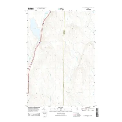
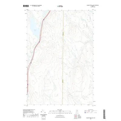
(20)- 2011 Map of Salmon Stream Lake, 2011 Print
 2011 Salmon Stream Lake2011 Print · USGSCovers Molunkus Township, including Medway, T1 R6 WELS, and other nearby areas
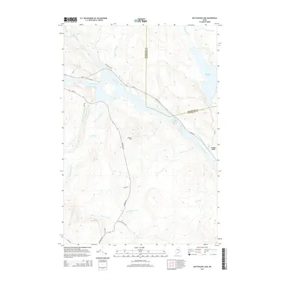
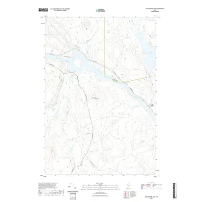
 - 2011 Map of Mattaseunk Lake, 2011 Print
 2011 Mattaseunk Lake2011 Print · USGSCovers Molunkus Township, including Medway, Mattawamkeag, and other nearby areas
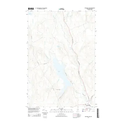
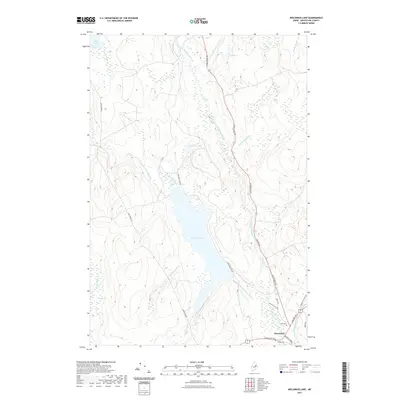
 - 2011 Map of Molunkus Lake, 2011 Print
 2011 Molunkus Lake2011 Print · USGSCovers Molunkus Township, including Macwahoc Plantation, Macwahoc, and other nearby areas
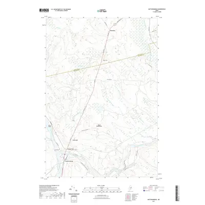
 - 2011 Map of Mattawamkeag, 2011 Print
 2011 Mattawamkeag2011 Print · USGSCovers Molunkus Township, including Mattawamkeag, Winn, and other nearby areas
 - 2014 Map of Mattawamkeag, 2014 Print
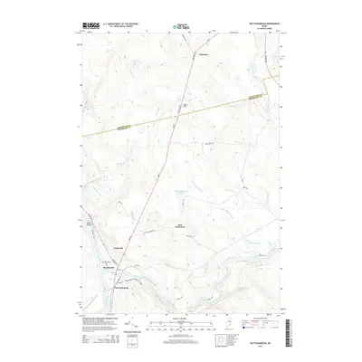 2014 Mattawamkeag2014 Print · USGSCovers Molunkus Township, including Mattawamkeag, Winn, and other nearby areas
 - 2014 Map of Mattaseunk Lake, 2014 Print
 2014 Mattaseunk Lake2014 Print · USGSCovers Molunkus Township, including Medway, Mattawamkeag, and other nearby areas
 - 2014 Map of Salmon Stream Lake, 2014 Print
 2014 Salmon Stream Lake2014 Print · USGSCovers Molunkus Township, including Medway, T1 R6 WELS, and other nearby areas
 - 2014 Map of Molunkus Lake, 2014 Print
 2014 Molunkus Lake2014 Print · USGSCovers Molunkus Township, including Macwahoc Plantation, Macwahoc, and other nearby areas
 - 2018 Map of Mattaseunk Lake, 2018 Print
 2018 Mattaseunk Lake2018 Print · USGSCovers Molunkus Township, including Medway, Mattawamkeag, and other nearby areas
 - 2018 Map of Salmon Stream Lake, 2018 Print
 2018 Salmon Stream Lake2018 Print · USGSCovers Molunkus Township, including Medway, T1 R6 WELS, and other nearby areas
 - 2018 Map of Mattawamkeag, 2018 Print
 2018 Mattawamkeag2018 Print · USGSCovers Molunkus Township, including Mattawamkeag, Winn, and other nearby areas
 - 2018 Map of Molunkus Lake, 2018 Print
 2018 Molunkus Lake2018 Print · USGSCovers Molunkus Township, including Macwahoc Plantation, Macwahoc, and other nearby areas
 - 2021 Map of Salmon Stream Lake, 2021 Print
 2021 Salmon Stream Lake2021 Print · USGSCovers Molunkus Township, including Medway, T1 R6 WELS, and other nearby areas
 - 2021 Map of Mattawamkeag, 2021 Print
 2021 Mattawamkeag2021 Print · USGSCovers Molunkus Township, including Mattawamkeag, Winn, and other nearby areas
 - 2021 Map of Mattaseunk Lake, 2021 Print
 2021 Mattaseunk Lake2021 Print · USGSCovers Molunkus Township, including Medway, Mattawamkeag, and other nearby areas
 - 2021 Map of Molunkus Lake, 2021 Print
 2021 Molunkus Lake2021 Print · USGSCovers Molunkus Township, including Macwahoc Plantation, Macwahoc, and other nearby areas
 - 2024 Map of Mattaseunk Lake, 2024 Print
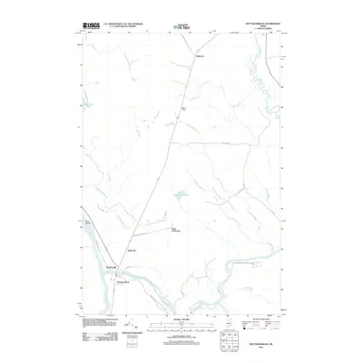
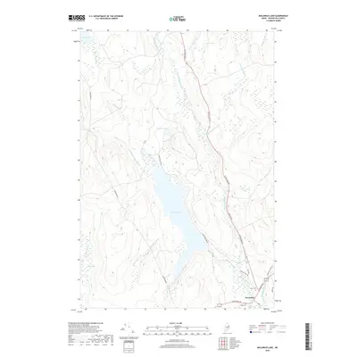
 2024 Mattaseunk Lake2024 Print · USGSPenobscot County timberlands and riverfronts are shown in detail here during the early twenty-first century. Researchers can trace the rural layout of Woodville, locate the Woodville Cem, and follow the Penobscot River past Jordan Mills.
 - 2024 Map of Salmon Stream Lake, 2024 Print
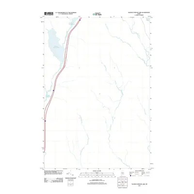
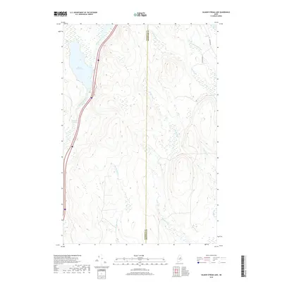
 2024 Salmon Stream Lake2024 Print · USGSThe border of Penobscot and Aroostook counties meets in this forested wetland region during the early twenty-first century. Researchers can trace the path of Salmon Stream through the Wadleigh Deadwater and follow old logging routes like Aroostook Rd.
 - 2024 Map of Molunkus Lake, 2024 Print
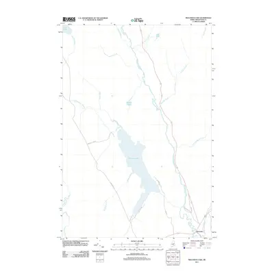
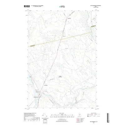
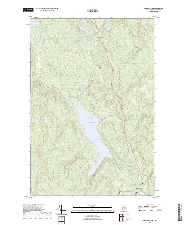 2024 Molunkus Lake2024 Print · USGSThe southern Aroostook County settlement of Macwahoc is documented here as it appeared in 2024, showing the convergence of Military Rd and Houlton Rd. Researchers can locate Smith Cem, Village Cem, and the shores of Molunkus Lake.
 - 2024 Map of Mattawamkeag, 2024 Print
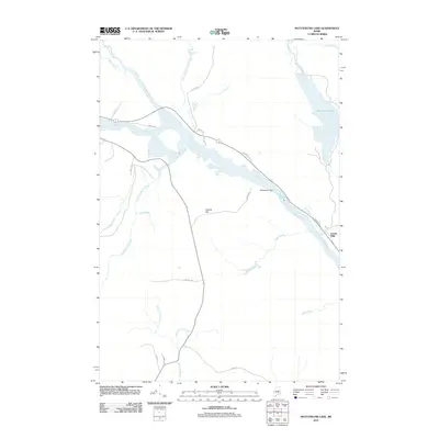
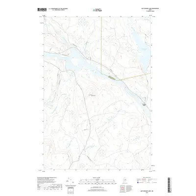
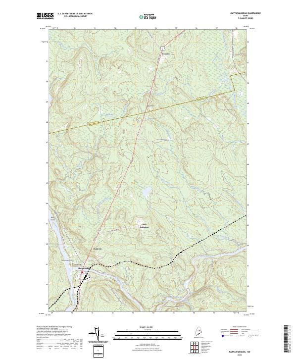 2024 Mattawamkeag2024 Print · USGSPenobscot and Aroostook counties meet at the river forks during this modern survey of eastern Maine. Genealogists and local historians can trace family locations near Back Settlement, locate graves at Mattawamkeag Cem, or follow the waters of Molunkus Stream.
End of results
Showing maps 1-20 of 20
Top cities near Molunkus Township
- Lincoln historical maps
- East Millinocket historical maps
- Medway historical maps
- Lee historical maps
- Sherman historical maps
- Mattawamkeag historical maps
See more
Frequently asked questions
- What are the different types of historical maps available for Molunkus Township?
- What is the oldest map of Molunkus Township?
- Where can I purchase historical maps of Molunkus Township for my home or office?
- Where can I download high-res historical maps of Molunkus Township?
- Are there historical topographic maps available for Molunkus Township?
- Is there historical aerial imagery available for Molunkus Township?
- Where are historical maps of Molunkus Township sourced from?