Old Maps of Molunkus Township, Maine for Metal Detecting
Plan your next treasure hunt with 33 historic maps of Molunkus Township. Find old homesites, ghost towns, trails, and gathering spots that may be lost to time — perfect for identifying promising metal detecting locations.
- Locate forgotten sites: Uncover places like long-lost settlements, abandoned rail lines, or gathering spots.
- Plan better hunts: Use map overlays combined with LiDAR or satellite views to narrow in on historically rich areas.
- Made for detectorists: Thousands of hobbyists use these maps to discover relics, coins, and hidden history.
Use these historic maps to boost your research and find new opportunities beneath the surface of Molunkus Township.
Molunkus Township, ME maps
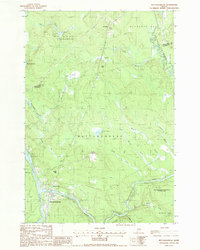
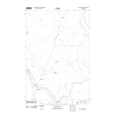
(33)- 1940 Map of Mattawamkeag, 1961 Print
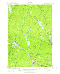 1940 Mattawamkeag1961 Print · USGSThe rail junction at Mattawamkeag and the timber-rich Penobscot valley are captured here just before the mid-century. Genealogists and historians can trace family locations at Jordan Mills, identify the Back Settlement, and locate the North Woodville School.2 unique versions available
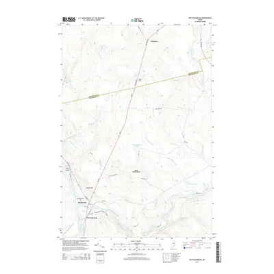
 - 1942 Map of Mattawamkeag
 1942 Mattawamkeag1942 Print · USGSMaine's logging and rail heartland is captured here during the early 1940s at the junction of the Penobscot and Mattawamkeag rivers. Researchers can trace the heritage of remote outposts like Jordan Mills and Back Settlement or locate the North Woodville Sch.3 unique versions available
 - 1954 Map of Millinocket, 1968 Print
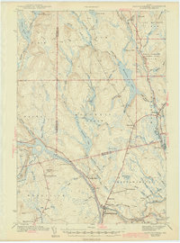
 1954 Millinocket1968 Print · USGSMaine's North Woods and the Penobscot Valley are captured here during the mid-century era of logging and rail dominance. You can trace the path of the Bangor and Aroostook Railroad through timber towns like Millinocket, Mattawamkeag, and Silver Ridge.3 unique versions available
 - 1958 Map of Millinocket
 1958 Millinocket1958 Print · USGSMaine's North Woods and the Penobscot river valley are captured here in the mid-1950s, showing a landscape of timber, rail, and wild waters. Researchers can trace the legacy of the Canadian Pacific railroad and find historic settlements like Millinocket, Sherman Station, and Mattawamkeag.
 - 1960 Map of Millinocket
 1960 Millinocket1960 Print · USGSThe Maine North Woods and Penobscot River valley are captured at mid-century during the height of the paper milling era. Researchers can trace the Appalachian Trail near Mount Katardin or locate family roots in towns like Dover-Foxcroft and Milo.3 unique versions available
 - 1975 Map of Mattawamkeag NW, 1980 Print
 1975 Mattawamkeag NW1980 Print · USGSThe Maine timberlands near Penobscot are documented here in the mid-1970s through detailed aerial imagery of the dense forest canopy. Genealogists and environmental researchers can trace the natural shoreline of Salmon Stream Lake and the paths of Wyman Brook.
 - 1975 Map of Mattawamkeag SW, 1980 Print
 1975 Mattawamkeag SW1980 Print · USGSPenobscot County is captured in this mid-1970s aerial survey, revealing the dense woodlands and waterways of the Maine interior. Researchers can trace the riverbank settlement at Jordan Mills and the reach of Mattaseunk Lake.
 - 1975 Map of Mattawamkeag NE, 1980 Print
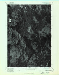 1975 Mattawamkeag NE1980 Print · USGSThe dense forests of Aroostook County are captured in this mid-1970s aerial survey just as modern timber management was evolving. Researchers can trace the natural waterways of Molunkus Stream and Macwahoc Stream as they feed into Molunkus Lake.
 - 1985 Map of Millinocket, 1986 Print
 1985 Millinocket1986 Print · USGSThe North Maine Woods were a landscape of industrial timber and wilderness recreation in the mid-eighties. Genealogists and researchers can trace local settlements and rail stops like Sherman Mills, Wytopitlock, and the Old Long A Siding near the Penobscot River.2 unique versions available
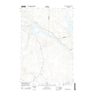
 - 1988 Map of Molunkus Lake
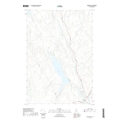
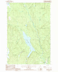 1988 Molunkus Lake1988 Print · USGSAroostook County's deep woods and waterways come into focus in the late eighties, centered on the expansive Molunkus Lake. Local historians can trace the bounds of Macwahoc Plt and the path of the Trans Maine Pipeline near the Cem.
 - 1988 Map of Mattaseunk Lake
 1988 Mattaseunk Lake1988 Print · USGSPenobscot County timberlands and river valleys are captured here in the late eighties, just as the region's industrial and natural footprints intersected. Researchers can trace the water-power geography around Mattaseunk Dam, find the small outpost of Jordan Mills, and locate a Drive-In Theater on the forest edge.
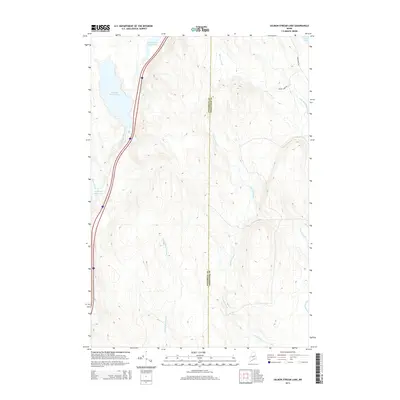
 - 1988 Map of Salmon Stream Lake
 1988 Salmon Stream Lake1988 Print · USGSThe wilderness of Penobscot and Aroostook counties is captured in the late 1980s, showcasing the intricate drainage systems of the Maine woods. Researchers can trace historic township boundaries in Medway and navigate the marshlands of Carlton Bog and Deadwater.
 - 1988 Map of Mattawamkeag
 1988 Mattawamkeag1988 Print · USGSThe confluence of the Penobscot and Mattawamkeag rivers defines this riverine landscape in the late eighties. Genealogists and local historians can trace the footings of Meadowville, the Back Settlement, and the wilderness around Mattaseunk Lake.
 - 2011 Map of Salmon Stream Lake, 2011 Print
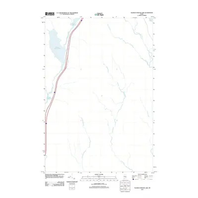 2011 Salmon Stream Lake2011 Print · USGSCovers Molunkus Township, including Medway, T1 R6 WELS, and other nearby areas
 - 2011 Map of Mattaseunk Lake, 2011 Print
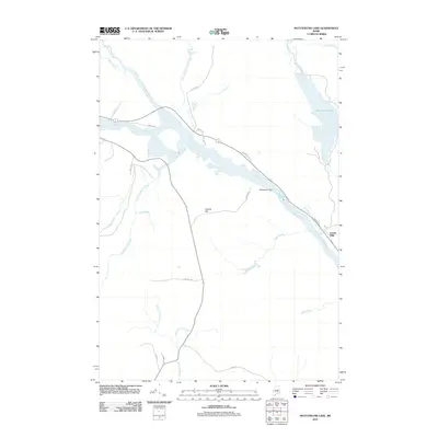 2011 Mattaseunk Lake2011 Print · USGSCovers Molunkus Township, including Medway, Mattawamkeag, and other nearby areas
 - 2011 Map of Molunkus Lake, 2011 Print
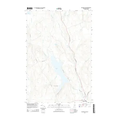
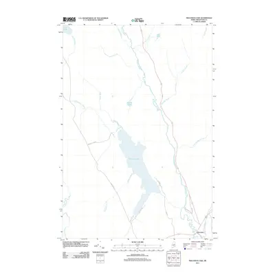 2011 Molunkus Lake2011 Print · USGSCovers Molunkus Township, including Macwahoc Plantation, Macwahoc, and other nearby areas
 - 2011 Map of Mattawamkeag, 2011 Print
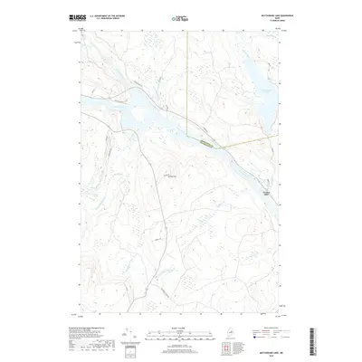
 2011 Mattawamkeag2011 Print · USGSCovers Molunkus Township, including Mattawamkeag, Winn, and other nearby areas
 - 2014 Map of Mattawamkeag, 2014 Print
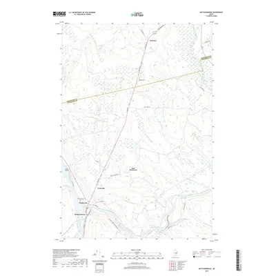
 2014 Mattawamkeag2014 Print · USGSCovers Molunkus Township, including Mattawamkeag, Winn, and other nearby areas
 - 2014 Map of Mattaseunk Lake, 2014 Print
 2014 Mattaseunk Lake2014 Print · USGSCovers Molunkus Township, including Medway, Mattawamkeag, and other nearby areas
 - 2014 Map of Salmon Stream Lake, 2014 Print
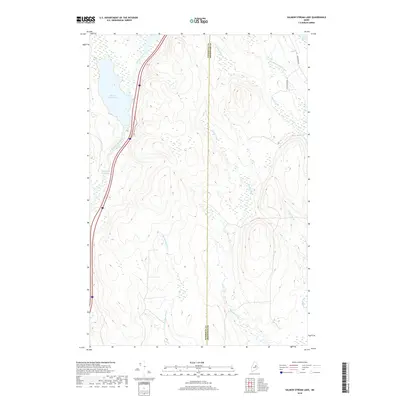
 2014 Salmon Stream Lake2014 Print · USGSCovers Molunkus Township, including Medway, T1 R6 WELS, and other nearby areas
 - 2014 Map of Molunkus Lake, 2014 Print
 2014 Molunkus Lake2014 Print · USGSCovers Molunkus Township, including Macwahoc Plantation, Macwahoc, and other nearby areas
 - 2018 Map of Mattaseunk Lake, 2018 Print
 2018 Mattaseunk Lake2018 Print · USGSCovers Molunkus Township, including Medway, Mattawamkeag, and other nearby areas
 - 2018 Map of Salmon Stream Lake, 2018 Print
 2018 Salmon Stream Lake2018 Print · USGSCovers Molunkus Township, including Medway, T1 R6 WELS, and other nearby areas
 - 2018 Map of Mattawamkeag, 2018 Print
 2018 Mattawamkeag2018 Print · USGSCovers Molunkus Township, including Mattawamkeag, Winn, and other nearby areas
 - 2018 Map of Molunkus Lake, 2018 Print
 2018 Molunkus Lake2018 Print · USGSCovers Molunkus Township, including Macwahoc Plantation, Macwahoc, and other nearby areas
Showing maps 1-25 of 33
Top cities near Molunkus Township
- Lincoln historical maps
- East Millinocket historical maps
- Medway historical maps
- Lee historical maps
- Sherman historical maps
- Mattawamkeag historical maps
See more
Frequently asked questions
- What are the different types of historical maps available for Molunkus Township?
- What is the oldest map of Molunkus Township?
- Where can I purchase historical maps of Molunkus Township for my home or office?
- Where can I download high-res historical maps of Molunkus Township?
- Are there historical topographic maps available for Molunkus Township?
- Is there historical aerial imagery available for Molunkus Township?
- Where are historical maps of Molunkus Township sourced from?