Old Maps of T1 R5 WELS, Maine
Explore 36 old maps of T1 R5 WELS, spanning from 1940 to today. These high-resolution historic maps reveal how streets, neighborhoods, landmarks, and natural features evolved over time — perfect for genealogy, metal detecting, research, and local history exploration.
What you can do with these maps:
- See how T1 R5 WELS changed over time: Compare historical maps to modern-day views to trace roads, homesites, rail lines & more.
- View detailed metadata: Each map includes creators, publishers, year, scale, and archive source.
- Overlay maps with satellite & LiDAR: Visualize the past alongside modern tools to explore terrain & human change.
- Trusted historical sources: Maps sourced from the USGS, Library of Congress, and other archives.
- Access maps your way: View online, download high-res files, or order prints for personal or research use.
Start exploring old maps of T1 R5 WELS to uncover forgotten places, hidden landmarks, and the deep history beneath your feet.
T1 R5 WELS, ME maps
(36)- 1940 Map of Sherman, 1959 Print
 1940 Sherman1959 Print · USGSNorthern Maine's timber and rail landscape is captured here just before the mid-century, centered on the Bangor and Aroostook line. Genealogists can trace early homesteads near Sherman Mills, Golden Ridge, and the Stacyville Post Office.2 unique versions available
 - 1940 Map of Mattawamkeag, 1961 Print
 1940 Mattawamkeag1961 Print · USGSThe rail junction at Mattawamkeag and the timber-rich Penobscot valley are captured here just before the mid-century. Genealogists and historians can trace family locations at Jordan Mills, identify the Back Settlement, and locate the North Woodville School.2 unique versions available
 - 1942 Map of Mattawamkeag
 1942 Mattawamkeag1942 Print · USGSMaine's logging and rail heartland is captured here during the early 1940s at the junction of the Penobscot and Mattawamkeag rivers. Researchers can trace the heritage of remote outposts like Jordan Mills and Back Settlement or locate the North Woodville Sch.3 unique versions available
 - 1942 Map of Sherman
 1942 Sherman1942 Print · USGSSouthern Aroostook County is captured here just before the mid-century, showcasing the railroad-dependent communities of Sherman and Patten. Genealogists can locate family sites near the Sherman Mills Cem, Doble Sch, or the now-quiet rail stops at Sherman Station.
 - 1954 Map of Millinocket, 1968 Print
 1954 Millinocket1968 Print · USGSMaine's North Woods and the Penobscot Valley are captured here during the mid-century era of logging and rail dominance. You can trace the path of the Bangor and Aroostook Railroad through timber towns like Millinocket, Mattawamkeag, and Silver Ridge.3 unique versions available
 - 1958 Map of Millinocket
 1958 Millinocket1958 Print · USGSMaine's North Woods and the Penobscot river valley are captured here in the mid-1950s, showing a landscape of timber, rail, and wild waters. Researchers can trace the legacy of the Canadian Pacific railroad and find historic settlements like Millinocket, Sherman Station, and Mattawamkeag.
 - 1960 Map of Millinocket
 1960 Millinocket1960 Print · USGSThe Maine North Woods and Penobscot River valley are captured at mid-century during the height of the paper milling era. Researchers can trace the Appalachian Trail near Mount Katardin or locate family roots in towns like Dover-Foxcroft and Milo.3 unique versions available
 - 1975 Map of Sherman SE, 1980 Print
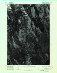 1975 Sherman SE1980 Print · USGSSouthern Aroostook County is seen during the mid-seventies, showing the intersection of logging roads and small townships. Family historians can trace property clearings and landscape changes near Silver Ridge, Monarda, and Plunkett Pond.
 - 1975 Map of Mattawamkeag NW, 1980 Print
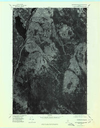 1975 Mattawamkeag NW1980 Print · USGSThe Maine timberlands near Penobscot are documented here in the mid-1970s through detailed aerial imagery of the dense forest canopy. Genealogists and environmental researchers can trace the natural shoreline of Salmon Stream Lake and the paths of Wyman Brook.
 - 1975 Map of Sherman SW, 1980 Print
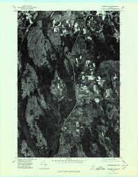 1975 Sherman SW1980 Print · USGSSouthern Penobscot County is shown in the mid-1970s, revealing the traditional layout of Maine's timber and farming communities. Genealogists can trace the rural crossroads and property boundaries near Benedicta, Sherman Mills, and Plunkett Pond.
 - 1975 Map of Mattawamkeag NE, 1980 Print
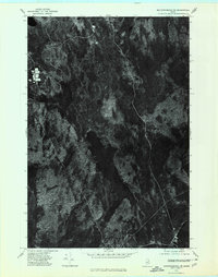 1975 Mattawamkeag NE1980 Print · USGSThe dense forests of Aroostook County are captured in this mid-1970s aerial survey just as modern timber management was evolving. Researchers can trace the natural waterways of Molunkus Stream and Macwahoc Stream as they feed into Molunkus Lake.
 - 1985 Map of Millinocket, 1986 Print
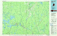 1985 Millinocket1986 Print · USGSThe North Maine Woods were a landscape of industrial timber and wilderness recreation in the mid-eighties. Genealogists and researchers can trace local settlements and rail stops like Sherman Mills, Wytopitlock, and the Old Long A Siding near the Penobscot River.2 unique versions available
 - 1988 Map of Molunkus Lake
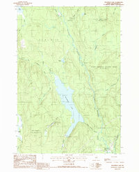 1988 Molunkus Lake1988 Print · USGSAroostook County's deep woods and waterways come into focus in the late eighties, centered on the expansive Molunkus Lake. Local historians can trace the bounds of Macwahoc Plt and the path of the Trans Maine Pipeline near the Cem.
 - 1988 Map of Salmon Stream Lake
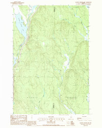 1988 Salmon Stream Lake1988 Print · USGSThe wilderness of Penobscot and Aroostook counties is captured in the late 1980s, showcasing the intricate drainage systems of the Maine woods. Researchers can trace historic township boundaries in Medway and navigate the marshlands of Carlton Bog and Deadwater.
 - 1989 Map of Monarda
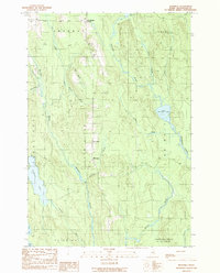 1989 Monarda1989 Print · USGSSouthern Aroostook County in the late eighties remains a landscape of isolated ridge settlements and sprawling timberlands. Researchers can trace family sites at Silver Ridge and Monarda or locate remote water bodies like Plunkett Pond and Macwahoc Lake.
 - 1989 Map of Benedicta
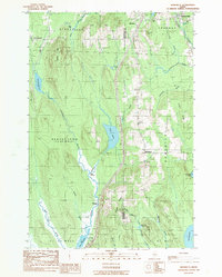 1989 Benedicta1989 Print · USGSThe borderlands of Penobscot and Aroostook counties come into focus in the late 1980s as Interstate 95 cuts through the Maine wilderness. Researchers can trace historic river landings like High Landing and Gantners Landing or locate family landmarks such as Mc Avoy Pond.
 - 2011 Map of Benedicta, 2011 Print
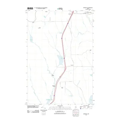 2011 Benedicta2011 Print · USGSSouthern Aroostook County is shown here in the early twenty-first century, capturing a region defined by its timber heritage and isolated settlements. Researchers can trace local history through Sherman Mills, the community of Benedicta, and family landmarks like Lawler Ridge.
 - 2011 Map of Salmon Stream Lake, 2011 Print
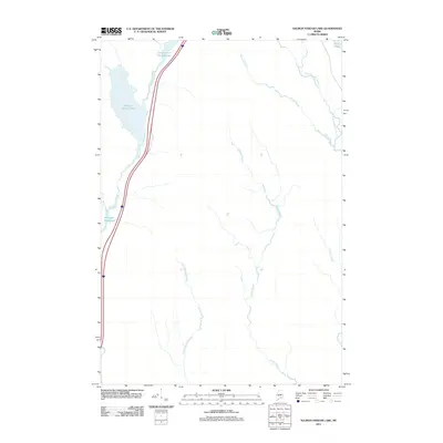 2011 Salmon Stream Lake2011 Print · USGSPenobscot County is shown during the early twenty-first century as a landscape of interconnected waterways and timberlands. Researchers can trace the remote drainage of Salmon Stream Lake and Wadleigh Deadwater in this largely undeveloped area.
 - 2011 Map of Monarda, 2011 Print
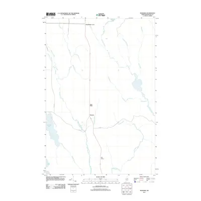 2011 Monarda2011 Print · USGSAroostook County's southern timberlands are captured here in the early twenty-first century, showing a landscape shaped by water and woods. Researchers can trace family history at Silver Ridge Cemetery or explore the settlements of Monarda and Woodbridge Corner.
 - 2011 Map of Molunkus Lake, 2011 Print
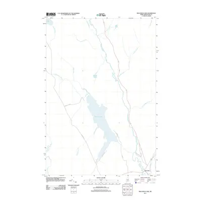 2011 Molunkus Lake2011 Print · USGSAroostook County's southern edge is captured here in the early twenty-first century, centered on the waters of Molunkus Lake. Researchers can trace the road networks around Macwahoc and locate remote interior points like Haywire Pond and Lost Pond.
 - 2014 Map of Monarda, 2014 Print
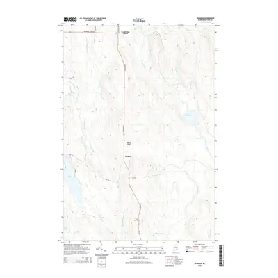 2014 Monarda2014 Print · USGSAroostook County's northern woods are documented here in the early twenty-first century, showing a landscape of scattered settlements and dense waterways. Researchers can locate the Silver Ridge Cem and trace the routes connecting Monarda and Woodbridge Corner.
 - 2014 Map of Salmon Stream Lake, 2014 Print
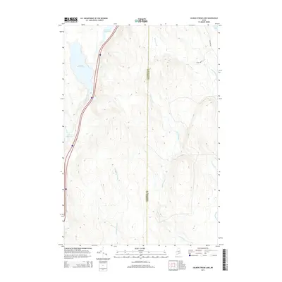 2014 Salmon Stream Lake2014 Print · USGSMaine's northern woodlands are documented in the early twenty-first century as they straddle the Penobscot and Aroostook county lines. Researchers can trace historic routes like Aroostook Rd and remote water features including Salmon Stream Lake and the Wadleigh Deadwater.
 - 2014 Map of Benedicta, 2014 Print
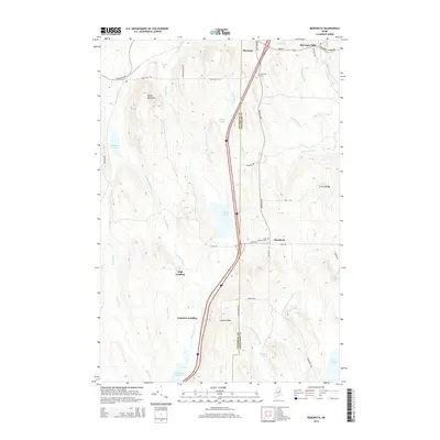 2014 Benedicta2014 Print · USGSIn the forests of northern Maine during the early twenty-first century, the border between Penobscot and Aroostook counties runs through a land of ridges and deep bogs. Local historians can trace family roots at Sherman Cemetery or locate old water-access points like Gantners Landing and High Landing.
 - 2014 Map of Molunkus Lake, 2014 Print
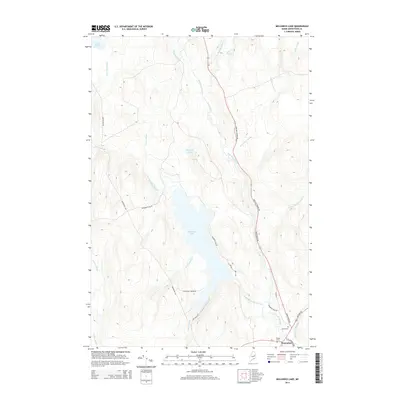 2014 Molunkus Lake2014 Print · USGSThe remote Aroostook County backcountry of the early twenty-first century is documented here as a network of timberlands and waterways. Researchers can trace historical routes like the Aroostook Rd and Military Rd or locate the Smith Cem near Macwahoc.
 - 2018 Map of Salmon Stream Lake, 2018 Print
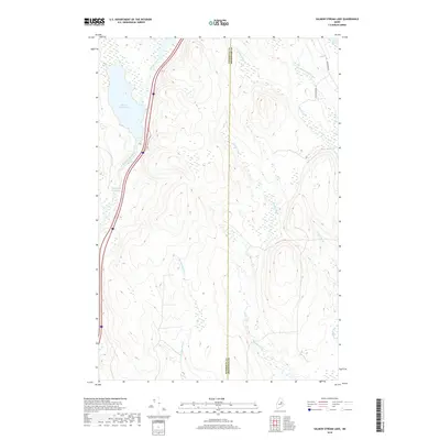 2018 Salmon Stream Lake2018 Print · USGSThe North Woods landscape along the Penobscot and Aroostook county line is captured here in the late 2010s. Modern researchers can trace the waterways of Salmon Stream Lake and Wadleigh Deadwater alongside forest routes like Sugar Camp Rd.
Showing maps 1-25 of 36
Top cities near T1 R5 WELS
- East Millinocket historical maps
- Medway historical maps
- Sherman historical maps
- Mattawamkeag historical maps
- Chester historical maps
- Winn historical maps
See more
Frequently asked questions
- What are the different types of historical maps available for T1 R5 WELS?
- What is the oldest map of T1 R5 WELS?
- Where can I purchase historical maps of T1 R5 WELS for my home or office?
- Where can I download high-res historical maps of T1 R5 WELS?
- Are there historical topographic maps available for T1 R5 WELS?
- Is there historical aerial imagery available for T1 R5 WELS?
- Where are historical maps of T1 R5 WELS sourced from?