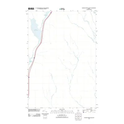
2011 Map of Salmon Stream Lake
USGS Topo · Published 2011About this map
Salmon Stream Lake and its smaller counterpart, Little Salmon Stream Lake, dominate this northern Penobscot County landscape, illustrating a region defined by complex glacial drainage patterns. The interior is largely roadless, with the western corridor providing the primary access point along a route paralleling Salmon Stream. This area is characterized by slow-moving water and wetlands, evidenced by the presence of Wadleigh Deadwater and several meandering tributaries such as Wyman Brook and Hersey Brook. In the northeast corner, the drainage shifts toward Little Molunkus Stream near Flinn Pond. The map reveals a land utilized for its natural resources and timber, where the hydrography dictates the few points of human ingress and defines the local geography far more than any built infrastructure.
Find a feature on this map
11 named features on this map. Tap any name to fly to it.
Don’t see what you’re looking for? This feature index may not catch every label — zoom into the map to look around manually.
Map Details
Editions of this 2011 Salmon Stream Lake Map
This is the sole edition of this map. No revisions or reprints were ever made.
Other maps of this area

1940 · Sherman
USGS Topo · 1:62,500

1940 · Mattawamkeag
USGS Topo · 1:62,500

1942 · Mattawamkeag
USGS Topo · 1:62,500

1942 · Sherman
USGS Topo · 1:62,500

1951 · Millinocket
USGS Topo · 1:62,500

1953 · Stacyville
USGS Topo · 1:62,500

1954 · Millinocket
USGS Topo · 1:250,000

1958 · Millinocket
USGS Topo · 1:250,000

1960 · Millinocket
USGS Topo · 1:250,000
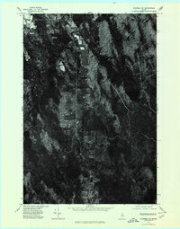
1975 · Sherman SE
USGS Topo · 1:24,000