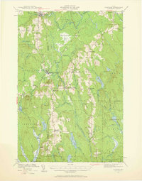
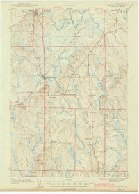
1953 Map of Stacyville
USGS Topo · Published 1956About this map
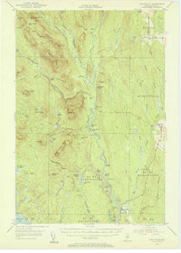
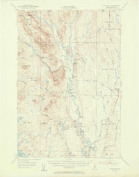
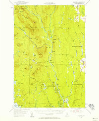
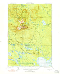
The East Branch Penobscot River winds through this 1953 survey, a landscape defined by North Woods logging and early conservation efforts. The settlement of Stacyville sits on the eastern edge near the Cem, while the interior is dotted with remote outposts like Hunt Farm and Lunksoos Camp. Evidence of forest management and industrial use is visible in features like the Fire Tower on Deasey Mtn and the Deasey Dam situated along Wassataquoik Stream.
Find a feature on this map
79 named features on this map. Tap any name to fly to it.
Don’t see what you’re looking for? This feature index may not catch every label — zoom into the map to look around manually.
Map Details
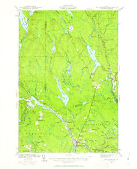
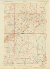
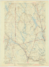
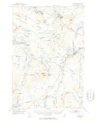
Editions of this 1953 Stacyville Map
4 editions found

Other maps of this area

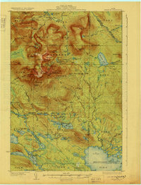
1927 · Katahdin
USGS Topo · 1:48,000
1930 · Katahdin
USGS Topo · 1:62,500

1940 · Island Falls
USGS Topo · 1:62,500
1940 · Sherman
USGS Topo · 1:62,500
1940 · Mattawamkeag
USGS Topo · 1:62,500
1942 · Island Falls
USGS Topo · 1:62,500
1942 · Mattawamkeag
USGS Topo · 1:62,500
1942 · Sherman
USGS Topo · 1:62,500
1949 · Katahdin
USGS Topo · 1:62,500
1951 · Norcross
USGS Topo · 1:62,500