
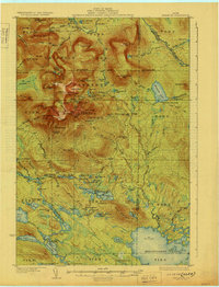
1927 Map of Katahdin
USGS Topo · Published 1927About this map
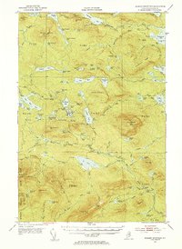
Mount Katahdin towers over the central landscape of this 1927 survey, a time when the region was primarily a wilderness of timber and early recreation within the Katahdin Park Game Preserve. The map documents the intricate network of peaks and ridges including Monument Peak, Hamlin Peak, and the famous Knife Edge. Unlike more settled regions, human activity here is marked by remote outposts and supply points such as Traceys Camp, Mullen Brook Camp, and Abol Camp.
Find a feature on this map
152 named features on this map. Tap any name to fly to it.
Don’t see what you’re looking for? This feature index may not catch every label — zoom into the map to look around manually.
Map Details
Editions of this 1927 Katahdin Map
This is the sole edition of this map. No revisions or reprints were ever made.
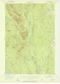
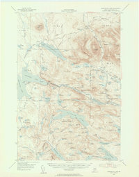
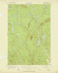
Other maps of this area
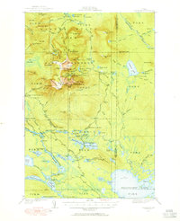
1930 · Katahdin
USGS Topo · 1:62,500
1949 · Katahdin
USGS Topo · 1:62,500
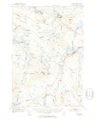
1951 · Norcross
USGS Topo · 1:62,500
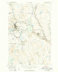
1951 · Millinocket
USGS Topo · 1:62,500
1952 · Jo-Mary Mountain
USGS Topo · 1:62,500

1953 · Telos Lake
USGS Topo · 1:62,500
1953 · Stacyville
USGS Topo · 1:62,500
1954 · Harrington Lake
USGS Topo · 1:62,500
1954 · Shin Pond
USGS Topo · 1:62,500

1954 · Presque Isle
USGS Topo · 1:250,000