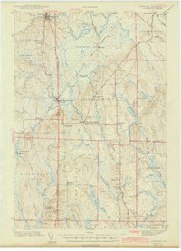
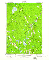
1942 Map of Sherman
USGS Topo · Published 1942About this map
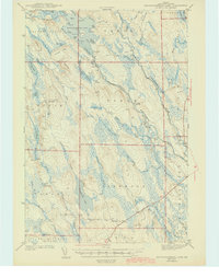
Sherman Station and Sherman Mills anchor this southern Aroostook County landscape during the early 1940s, a period defined by the timber and agricultural transport of the Bangor and Aroostook railroad. The map reveals a transition between established settlements like Patten and Island Falls and the vast, marshy wilderness of the Thousand Acre Bog. The placement of local institutions, including South Patten Sch, Doble Sch, and the Sherman Mills Cem, provides a clear view of how these remote communities were organized around key intersections like Woodbridge Corner.
Find a feature on this map
86 named features on this map. Tap any name to fly to it.
Don’t see what you’re looking for? This feature index may not catch every label — zoom into the map to look around manually.
Map Details
Editions of this 1942 Sherman Map
This is the sole edition of this map. No revisions or reprints were ever made.
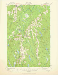
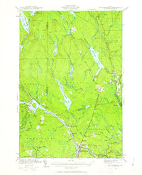
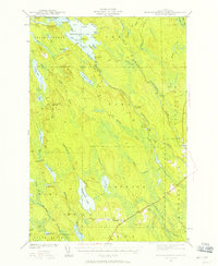
Other maps of this area

1937 · Smyrna Mills
USGS Topo · 1:62,500

1940 · Island Falls
USGS Topo · 1:62,500
1940 · Sherman
USGS Topo · 1:62,500
1940 · Mattawamkeag
USGS Topo · 1:62,500
1941 · Mattawamkeag Lake
USGS Topo · 1:62,500
1941 · Wytopitlock
USGS Topo · 1:62,500
1942 · Island Falls
USGS Topo · 1:62,500
1942 · Mattawamkeag
USGS Topo · 1:62,500
1943 · Wytopitlock
USGS Topo · 1:62,500
1943 · Mattawamkeag Lake
USGS Topo · 1:62,500