
1942 Map of Mattawamkeag
USGS Topo · Published 1942About this map
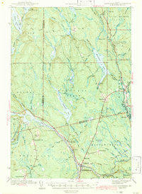
Mattawamkeag stands as the primary rail and river junction in this 1940s survey of southern Penobscot and Aroostook counties. The confluence of the Penobscot River and the Mattawamkeag River dictates the region's transport network, where the Maine Central and Canadian Pacific railroads meet. The landscape is defined by vast water systems like Molunkus Lake and the Mattaseunk Dam, which suggests a river-driven economy focused on timber and water power. Smaller agrarian and logging outposts such as Jordan Mills, Davis Farm, and Meadowville are scattered along the hills, while localized infrastructure is visible in the placement of the North Woodville Sch and South Woodville Sch. The map preserves the specific locations of early settlements like Back Settlement and the North Yarmouth Academy Grant, providing a detailed look at Maine's interior before modern highway developments altered these rural corridors.
Find a feature on this map
76 named features on this map. Tap any name to fly to it.
Don’t see what you’re looking for? This feature index may not catch every label — zoom into the map to look around manually.
Map Details
Editions of this 1942 Mattawamkeag Map
3 editions found
Other maps of this area

1920 · Winn
USGS Topo · 1:62,500

1931 · Springfield
USGS Topo · 1:48,000

1934 · Springfield
USGS Topo · 1:62,500

1940 · Sherman
USGS Topo · 1:62,500

1940 · Mattawamkeag
USGS Topo · 1:62,500

1941 · Mattawamkeag Lake
USGS Topo · 1:62,500

1941 · Wytopitlock
USGS Topo · 1:62,500

1942 · Lincoln
USGS Topo · 1:62,500

1942 · Sherman
USGS Topo · 1:62,500

1943 · Wytopitlock
USGS Topo · 1:62,500