
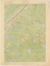
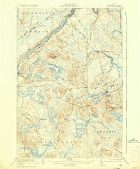
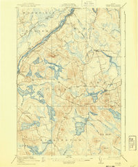
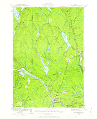
1920 Map of Winn
USGS Topo · Published 1920About this map
The Penobscot River serves as the central artery of this region, carved by the Maine Central and Canadian Pacific railroads that parallel its banks. These rail lines connected the timber and milling centers of Winn, Lincoln, and Lincoln Center during a period of significant industrial activity. The map reveals a landscape defined by an intricate network of water bodies, including Mattanawcook Pond and Mattakeunk Pond, which were vital to the local economy and settlement patterns.
Find a feature on this map
75 named features on this map. Tap any name to fly to it.
Don’t see what you’re looking for? This feature index may not catch every label — zoom into the map to look around manually.
Map Details
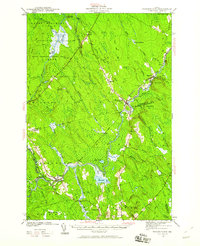
Editions of this 1920 Winn Map
5 editions found

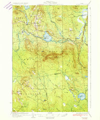
Other maps of this area

1917 · Passadumkeag
USGS Topo · 1:62,500

1931 · Springfield
USGS Topo · 1:48,000

1931 · Saponac
USGS Topo · 1:48,000

1932 · Nicatous Lake
USGS Topo · 1:48,000
1934 · Saponac
USGS Topo · 1:62,500

1934 · Nicatous Lake
USGS Topo · 1:62,500

1934 · Springfield
USGS Topo · 1:62,500
1940 · Mattawamkeag
USGS Topo · 1:62,500
1941 · Wytopitlock
USGS Topo · 1:62,500
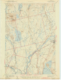
1942 · Lincoln
USGS Topo · 1:62,500