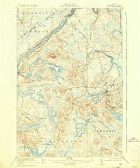
1920 Map of Winn
USGS Topo · Published 1935About this map
The Penobscot River serves as the primary corridor for commerce and transport in this part of Maine, with the Maine Central and Canadian Pacific railroads flanking its banks. This 1916 survey reveals a landscape of established mill towns and interconnected waterways, where the river's Sebonibus Rapids and several large islands like Snow Island and Hersey Island dictate the movement of timber and goods. Settlements such as Winn, Chester, and Lincoln follow the rail lines, while the interior is dominated by a dense network of ponds, including Mattanawcook Pond, Madagascal Pond, and Mattakeunk Pond. These water bodies, connected by systems like Dead Stream and Rocky Brook, highlight the region's reliance on hydraulic resources for industry. Higher elevations like Bagley Mtn, Jefferson Mtn, and Twombly Ridge provide a topographical backdrop to the logging and farming communities of Webster Plantation and Lee.
Find a feature on this map
78 named features on this map. Tap any name to fly to it.
Don’t see what you’re looking for? This feature index may not catch every label — zoom into the map to look around manually.
Map Details
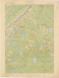
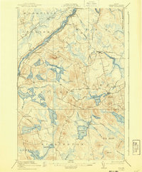
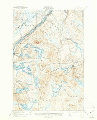
Editions of this 1920 Winn Map
5 editions found
Other maps of this area

1917 · Passadumkeag
USGS Topo · 1:62,500

1920 · Winn
USGS Topo · 1:62,500

1931 · Springfield
USGS Topo · 1:48,000

1931 · Saponac
USGS Topo · 1:48,000

1932 · Nicatous Lake
USGS Topo · 1:48,000

1934 · Saponac
USGS Topo · 1:62,500

1934 · Nicatous Lake
USGS Topo · 1:62,500

1934 · Springfield
USGS Topo · 1:62,500

1940 · Mattawamkeag
USGS Topo · 1:62,500

1941 · Wytopitlock
USGS Topo · 1:62,500