
1940 Map of Island Falls
USGS Topo · Published 1957About this map
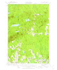
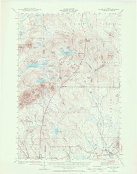
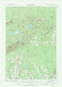
Island Falls and Patten serve as the primary hubs in this corner of Aroostook County, surveyed just before the mid-century. The landscape is defined by the West Branch Mattawamkeag River and its numerous cataracts, including Stair Falls and Warren Falls. The local economy and social structure are clearly visible through the density of rural infrastructure, from the Bangor and Aroostook RR to the many neighborhood schoolhouses such as Knowles Corner Sch and Hersey Sch.
Find a feature on this map
94 named features on this map. Tap any name to fly to it.
Don’t see what you’re looking for? This feature index may not catch every label — zoom into the map to look around manually.
Map Details
Editions of this 1940 Island Falls Map
4 editions found
Other maps of this area

1935 · Howe Brook
USGS Topo · 1:48,000

1937 · Smyrna Mills
USGS Topo · 1:62,500

1939 · Howe Brook
USGS Topo · 1:62,500

1940 · Sherman
USGS Topo · 1:62,500

1940 · Oxbow
USGS Topo · 1:62,500

1941 · Mattawamkeag Lake
USGS Topo · 1:62,500

1942 · Island Falls
USGS Topo · 1:62,500

1942 · Oxbow
USGS Topo · 1:62,500

1942 · Sherman
USGS Topo · 1:62,500

1943 · Mattawamkeag Lake
USGS Topo · 1:62,500