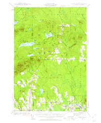
1940 Map of Island Falls
USGS Topo · Published 1962About this map
Island Falls and Patten serve as the primary hubs in this northern Maine landscape, where the West Branch Mattawamkeag River snakes through a complex network of glacial ponds and wetlands. The map reveals a rural economy supported by local timber and waterpower, evidenced by features like the Stair Falls and numerous named bogs and hills. Educational life is prominently recorded through a high density of small district schools, including Rockabema Sch, Hersey Sch, and Stevens Sch, alongside the more central Patten Academy.
Find a feature on this map
90 named features on this map. Tap any name to fly to it.
Don’t see what you’re looking for? This feature index may not catch every label — zoom into the map to look around manually.
Map Details
Editions of this 1940 Island Falls Map
4 editions found
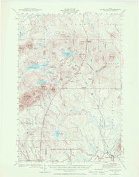
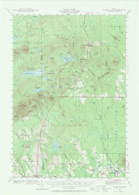
Other maps of this area

1935 · Howe Brook
USGS Topo · 1:48,000

1937 · Smyrna Mills
USGS Topo · 1:62,500

1939 · Howe Brook
USGS Topo · 1:62,500

1940 · Island Falls
USGS Topo · 1:62,500

1940 · Sherman
USGS Topo · 1:62,500

1940 · Oxbow
USGS Topo · 1:62,500

1941 · Mattawamkeag Lake
USGS Topo · 1:62,500

1942 · Island Falls
USGS Topo · 1:62,500

1942 · Oxbow
USGS Topo · 1:62,500

1942 · Sherman
USGS Topo · 1:62,500