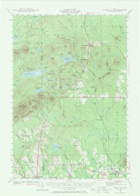
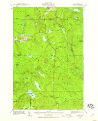
1940 Map of Island Falls
USGS Topo · Published 1971About this map
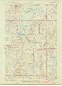
Island Falls serves as a primary hub for this interior Maine landscape, where the Bangor and Aroostook RR meets the West Branch of the Mattawamkeag River. Surveyed just before the United States entered World War II, the map reveals a rural network of small school districts and family-named corners that defined local life in the mid-twentieth century. Educational landmarks like Patten Academy and various rural schoolhouses, including Allsbury Sch and Rockabema Sch, are distributed across the townships of Hersey and Crystal.
Find a feature on this map
112 named features on this map. Tap any name to fly to it.
Don’t see what you’re looking for? This feature index may not catch every label — zoom into the map to look around manually.
Map Details
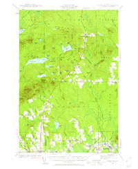
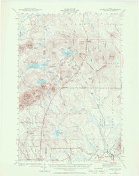
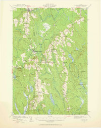
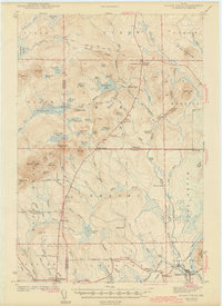
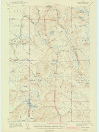
Editions of this 1940 Island Falls Map
4 editions found
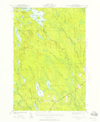
Other maps of this area

1935 · Howe Brook
USGS Topo · 1:48,000

1937 · Smyrna Mills
USGS Topo · 1:62,500

1939 · Howe Brook
USGS Topo · 1:62,500

1940 · Island Falls
USGS Topo · 1:62,500
1940 · Sherman
USGS Topo · 1:62,500
1940 · Oxbow
USGS Topo · 1:62,500
1941 · Mattawamkeag Lake
USGS Topo · 1:62,500
1942 · Island Falls
USGS Topo · 1:62,500
1942 · Oxbow
USGS Topo · 1:62,500
1942 · Sherman
USGS Topo · 1:62,500