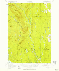
1953 Map of Stacyville
USGS Topo · Published 1958About this map
The East Branch Penobscot River carves a deep path through this mid-century Penobscot County landscape, defining the character of North Woods life in the 1950s. The map illustrates a region transitioning from raw timber extraction to organized forest management, anchored by established sites like Hunt Farm and the Forest Service Camp. The presence of the Katahdin Tote Road and Sandbank Trail alongside several logans and islands, such as Twin Islands and Priest Logan, highlights the historical importance of river-based travel and logging.
Find a feature on this map
84 named features on this map. Tap any name to fly to it.
Don’t see what you’re looking for? This feature index may not catch every label — zoom into the map to look around manually.
Map Details
Editions of this 1953 Stacyville Map
4 editions found

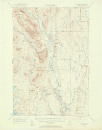
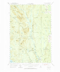
Other maps of this area

1927 · Katahdin
USGS Topo · 1:48,000

1930 · Katahdin
USGS Topo · 1:62,500

1940 · Island Falls
USGS Topo · 1:62,500

1940 · Sherman
USGS Topo · 1:62,500

1940 · Mattawamkeag
USGS Topo · 1:62,500

1942 · Island Falls
USGS Topo · 1:62,500

1942 · Mattawamkeag
USGS Topo · 1:62,500

1942 · Sherman
USGS Topo · 1:62,500

1949 · Katahdin
USGS Topo · 1:62,500

1951 · Norcross
USGS Topo · 1:62,500