Old Maps of T15 R11 WELS, Maine for Academic Research
Study the evolution of T15 R11 WELS with 35 high-resolution historic maps. Whether you're teaching, researching, or modeling changes in land use, these maps provide essential visual documentation of urban, environmental, and geographic change.
- Analyze long-term change: Track patterns in development, transportation, and natural features.
- Ideal for environmental or urban studies: Support academic projects with primary historical map data.
- Use in the classroom or lab: Educators and researchers rely on these maps to bring historical context to life.
These maps are a powerful tool for teaching, research, and visualizing how T15 R11 WELS has changed over the decades.
T15 R11 WELS, ME maps
(35)- 1930 Map of Allagash
 1930 Allagash1930 Print · USGSThe northern Maine frontier at the turn of the 1930s was a landscape of remote river settlements and deep woods. Genealogists and historians can trace family locations along the St John River at Dickey, and find community landmarks like St Paul Ch and Henderson Sch.4 unique versions available
 - 1932 Map of Allagash Falls
 1932 Allagash Falls1932 Print · USGSThe North Maine Woods in the early thirties reveal a landscape of timber camps and river navigation before modern infrastructure arrived. Trace the remote logging culture at Cunliffe Depot Camp and search for old riverside clearings like Michaud Farm.4 unique versions available
 - 1933 Map of Allagash
 1933 Allagash1933 Print · USGSThe northern Maine borderlands come alive in this early 1930s survey of the river confluences near Dickey. Genealogists and historians can trace the locations of the Log Cabin Sch, Kelly Sch, and landings like Boat Landing Camp along the wild rapids of the Allagash River.3 unique versions available
 - 1935 Map of Allagash Falls
 1935 Allagash Falls1935 Print · USGSThe northern Maine woods in the early 1930s were a network of logging camps and remote river outposts. Genealogists and historians can trace the early timber footprint through locations like Cunliffe Depot Camp, Michaud Farm, and the Tote Road.2 unique versions available
 - 1954 Map of Presque Isle, 1968 Print
 1954 Presque Isle1968 Print · USGSNorth Woods logging and rail history come alive in this mid-century survey of the Maine-Quebec borderlands. Genealogists and historians can trace the Bangor and Aroostook railroad through timber hubs like Ashland, Smyrna Mills, and Presque Isle.2 unique versions available
 - 1956 Map of Allagash Falls
 1956 Allagash Falls1956 Print · USGSThe Maine North Woods in the mid-fifties remain a world of logging camps and remote river outposts along the Allagash. Trace the legacy of river driving and timber harvesting through sites like Cunliffe Depot Camp, Michaud Farm, and the iconic Allagash Falls.2 unique versions available
 - 1958 Map of Presque Isle
 1958 Presque Isle1958 Print · USGSThe Aroostook timber and potato country is captured here during the late fifties, showing the vital rail-to-river network of Northern Maine. Genealogists and historians can trace the Bangor & Aroostook RR through Mapleton and Ashland, or locate remote sites like Chamberlain Farm and Seven Islands.
 - 1960 Map of Presque Isle
 1960 Presque Isle1960 Print · USGSNorthern Maine during the mid-century was a land of timber, rails, and strategic airfields. Genealogists and historians can trace the growth of Presque Isle and Ashland or explore the remote northern reaches of Baxter State Park and Presque Isle AFB.3 unique versions available
 - 1962 Map of Edmundston, 1966 Print
 1962 Edmundston1966 Print · USGSThe international borderlands of northern Maine and Canada come alive here during the early sixties, centered on the river-and-rail economies of the day. Genealogists and historians can trace the paths of the Bangor and Aroostook railroad through river towns like Fort Kent and St Agatha.2 unique versions available
 - 1986 Map of Mc Keen Lake
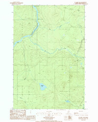 1986 Mc Keen Lake1986 Print · USGSIn the remote Maine North Woods during the mid-eighties, this survey captures the winding Allagash River and its surrounding timberlands. You can trace river navigation points like McKeen Rapids and interior waters such as McKeen Lake.
 - 1986 Map of Allagash Falls
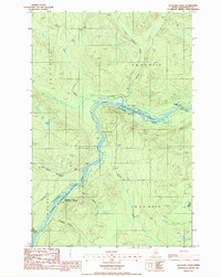 1986 Allagash Falls1986 Print · USGSThe northern Maine woods are captured here in the mid-1980s, centered on the protected waters of the Allagash Wilderness State Waterway. You can trace the river's path through landmarks like Allagash Falls, Michaud Farm, and the Pelletier Deadwater Islands.
 - 1986 Map of Big Rapids, 1987 Print
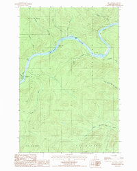 1986 Big Rapids1987 Print · USGSThe North Maine Woods in the mid-eighties reveal a landscape of timberlands and river navigation along the St John River. Outdoorsmen and researchers can trace the river's course through Big Rapids and locate isolated landmarks like the Clay Pit and Poplar Island.
 - 1986 Map of Allagash, 1987 Print
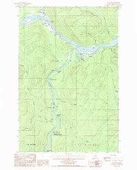 1986 Allagash1987 Print · USGSNorthern Maine's remote river country comes into focus in the mid-1980s at the confluence of two legendary waterways. Trace the riverside settlements of Allagash and Dickey, or locate wilderness landmarks like Ghost Landing Bar and Eliza Hole Rapids.
 - 1993 Map of Clayton Lake, 1994 Print
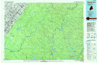 1993 Clayton Lake1994 Print · USGSThe North Woods along the Maine and Quebec border remained a vast wilderness of timber and water in the early nineties. Researchers can trace historic river crossings and remote outposts like Ninemile Bridge, Saint-Pamphile, and the Harvey Farm.
 - 1993 Map of Allagash, 1994 Print
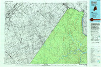 1993 Allagash1994 Print · USGSThe Maine-Quebec borderlands in the early nineties show a landscape of deep timber and international riverways. Researchers can trace the remote settlements of Allagash and Dickey or locate historic river features like Castonia Rapids and Beau Lake.
 - 2011 Map of Allagash, 2011 Print
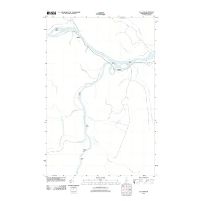 2011 Allagash2011 Print · USGSNorthern Maine's remote river confluences are documented here in the early twenty-first century, showing the meeting of the Saint John River and Allagash River. Genealogists and local historians can locate Bolton Cemetery and trace old routes like Michaud Tote Rd through the settlements of Dickey and Allagash.
 - 2011 Map of Allagash Falls, 2011 Print
 2011 Allagash Falls2011 Print · USGSThe Allagash River corridor in northern Maine is captured here during the early twenty-first century. Researchers can trace remote wilderness outposts and family holdings like Cunliffe Depot Camp, Michaud Farm, and Moores Farm along the waterway.
 - 2011 Map of Big Rapids, 2011 Print
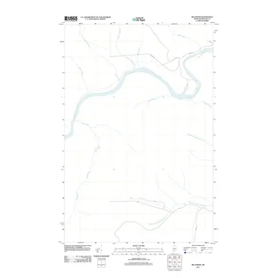 2011 Big Rapids2011 Print · USGSThe northern Maine wilderness of the Allagash region is captured here in the early twenty-first century as a landscape of timber roads and river bends. Trace the legacy of rural education and land access through landmarks like Old School House Rd, Dickey Gate, and Inn Rd.
 - 2011 Map of McKeen Lake, 2011 Print
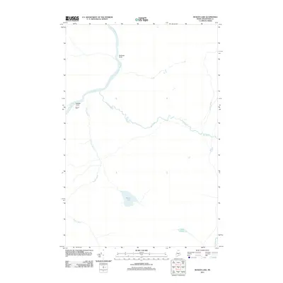 2011 McKeen Lake2011 Print · USGSAroostook County's northern woods and waterways are preserved here in the early twenty-first century. Researchers can trace the path of the Allagash River past McGargle Rocks or locate seasonal sites like McKeen Camp and the shores of McKeen Lake.
 - 2014 Map of Big Rapids, 2014 Print
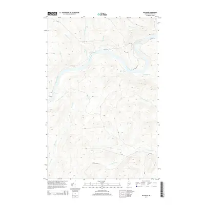 2014 Big Rapids2014 Print · USGSThe northern Maine woods along the Saint John River are captured here in the early 21st century, showing a landscape defined by water and timber. Researchers can trace remote logging history through features like Dickey Gate, Michaud Farm Rd, and the turbulent waters of the Big Rapids.
 - 2014 Map of Allagash, 2014 Print
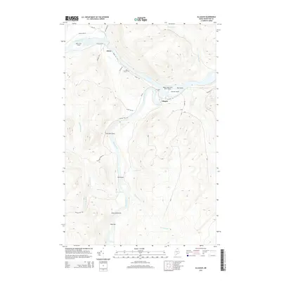 2014 Allagash2014 Print · USGSUpper Aroostook County is shown here during the early twenty-first century, centered on the confluence of the Saint John River and Allagash River. Genealogists can trace family sites at Saint Paul Cem and Bolton Cem or explore river landmarks like Ghost Landing Bar.
 - 2014 Map of Allagash Falls, 2014 Print
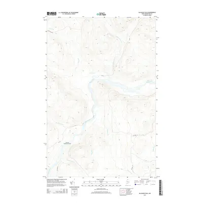 2014 Allagash Falls2014 Print · USGSThe northern Maine wilderness comes into focus in this recent survey of the North Woods, highlighting the remote river corridors of Aroostook County. Trace the paths of timber roads and river features like Allagash Falls and the Pelletier Deadwater Islands.
 - 2014 Map of McKeen Lake, 2014 Print
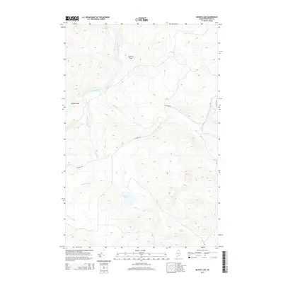 2014 McKeen Lake2014 Print · USGSThe northern Maine wilderness comes into focus in the early 21st century as the Allagash waterway cuts through Aroostook County. Trace the remote logging roads and waterways that define this region, from McKeen Lake and Mink Pond to the river passage at Bank Rapids.
 - 2018 Map of McKeen Lake, 2018 Print
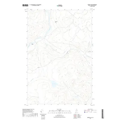 2018 McKeen Lake2018 Print · USGSAroostook County's wilderness is documented here in the early twenty-first century as the Allagash River cuts through the forest. Researchers can trace remote water features like McKeen Lake, Spring Bank Rapids, and the primitive Big Brook Rd.
 - 2018 Map of Allagash Falls, 2018 Print
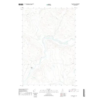 2018 Allagash Falls2018 Print · USGSThe northern Maine woods and the Allagash River are captured here in the late 2010s before any major modern changes. Trace the river's descent through Allagash Falls or navigate the intricate Pellitier Deadwater Islands and timber-hauling routes like Inn Rd.
Showing maps 1-25 of 35
Top cities near T15 R11 WELS
Frequently asked questions
- What are the different types of historical maps available for T15 R11 WELS?
- What is the oldest map of T15 R11 WELS?
- Where can I purchase historical maps of T15 R11 WELS for my home or office?
- Where can I download high-res historical maps of T15 R11 WELS?
- Are there historical topographic maps available for T15 R11 WELS?
- Is there historical aerial imagery available for T15 R11 WELS?
- Where are historical maps of T15 R11 WELS sourced from?