Old Maps of T16 R12 WELS, Maine for Genealogy
Trace your family roots with 17 historic maps of T16 R12 WELS. These high-res maps reveal old neighborhoods, homesites, landmarks, and streets — helping you uncover where your ancestors lived and how the area evolved over time.
- Explore historic neighborhoods: Identify where your relatives may have lived in the 1800s or 1900s.
- Compare maps over time: Trace the changes in streets, buildings, and landmarks for multi-generational research.
- Perfect for genealogy & ancestry research: Used by family historians and researchers to map out lineage and migration.
These maps are an incredible resource for exploring your personal connection to T16 R12 WELS's past.
T16 R12 WELS, ME maps
(17)- 1930 Map of Allagash
 1930 Allagash1930 Print · USGSThe northern Maine frontier at the turn of the 1930s was a landscape of remote river settlements and deep woods. Genealogists and historians can trace family locations along the St John River at Dickey, and find community landmarks like St Paul Ch and Henderson Sch.4 unique versions available
 - 1933 Map of Allagash
 1933 Allagash1933 Print · USGSThe northern Maine borderlands come alive in this early 1930s survey of the river confluences near Dickey. Genealogists and historians can trace the locations of the Log Cabin Sch, Kelly Sch, and landings like Boat Landing Camp along the wild rapids of the Allagash River.3 unique versions available
 - 1955 Map of Rocky Mountain
 1955 Rocky Mountain1955 Print · USGSThe Aroostook County wilderness in the mid-1950s is defined here by the winding St John River and the international boundary with Canada. Researchers can locate logging outposts like Campbell Depot Camp and riverside landmarks such as Schoolhouse Rapids and Ouellette Farm.3 unique versions available
 - 1962 Map of Edmundston, 1966 Print
 1962 Edmundston1966 Print · USGSThe international borderlands of northern Maine and Canada come alive here during the early sixties, centered on the river-and-rail economies of the day. Genealogists and historians can trace the paths of the Bangor and Aroostook railroad through river towns like Fort Kent and St Agatha.2 unique versions available
 - 1986 Map of Big Rapids, 1987 Print
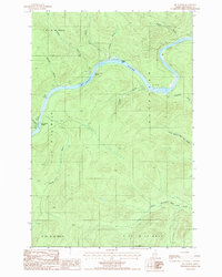 1986 Big Rapids1987 Print · USGSThe North Maine Woods in the mid-eighties reveal a landscape of timberlands and river navigation along the St John River. Outdoorsmen and researchers can trace the river's course through Big Rapids and locate isolated landmarks like the Clay Pit and Poplar Island.
 - 1987 Map of Schoolhouse Rapids
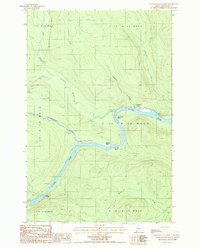 1987 Schoolhouse Rapids1987 Print · USGSIn the remote northern Maine wilderness during the late eighties, the St John River remains the central artery for movement and survival. Researchers can locate historic clearings like Castonia Farm and trace river hazards like Schoolhouse Rapids and Longs Rapids.
 - 1993 Map of Allagash, 1994 Print
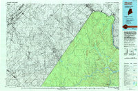 1993 Allagash1994 Print · USGSThe Maine-Quebec borderlands in the early nineties show a landscape of deep timber and international riverways. Researchers can trace the remote settlements of Allagash and Dickey or locate historic river features like Castonia Rapids and Beau Lake.
 - 2011 Map of Schoolhouse Rapids, 2011 Print
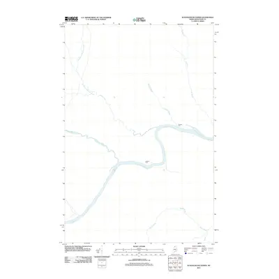 2011 Schoolhouse Rapids2011 Print · USGSThe Saint John Valley in northern Maine is captured here during the early twenty-first century, showcasing a quiet landscape of riverside agriculture and woodland streams. Researchers can locate family-named sites like Ouellette Farm and Castonia Farm along the banks of the Saint John River.
 - 2011 Map of Big Rapids, 2011 Print
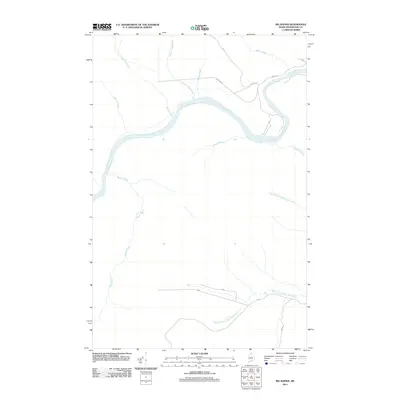 2011 Big Rapids2011 Print · USGSThe northern Maine wilderness of the Allagash region is captured here in the early twenty-first century as a landscape of timber roads and river bends. Trace the legacy of rural education and land access through landmarks like Old School House Rd, Dickey Gate, and Inn Rd.
 - 2014 Map of Schoolhouse Rapids, 2014 Print
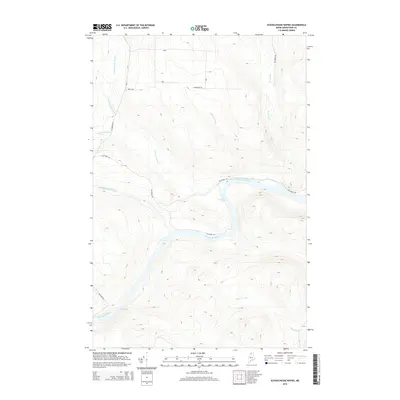 2014 Schoolhouse Rapids2014 Print · USGSThe northern Maine woods and the winding Saint John River are documented here in the early twenty-first century. Researchers can trace the drainage of Chimenticook Stream and identify river landmarks like Schoolhouse Rapids and Longs Rapids.
 - 2014 Map of Big Rapids, 2014 Print
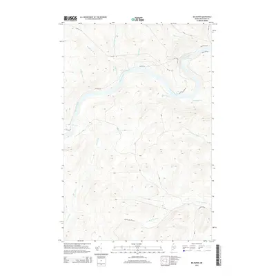 2014 Big Rapids2014 Print · USGSThe northern Maine woods along the Saint John River are captured here in the early 21st century, showing a landscape defined by water and timber. Researchers can trace remote logging history through features like Dickey Gate, Michaud Farm Rd, and the turbulent waters of the Big Rapids.
 - 2018 Map of Big Rapids, 2018 Print
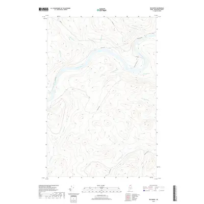 2018 Big Rapids2018 Print · USGSAroostook County's deep woods and river systems are documented here in the late 2010s. Trace the remote logging roads and waterways of the Maine wilderness, from the turbulent Big Rapids to the historical site indicated by Old School House Rd.
 - 2018 Map of Schoolhouse Rapids, 2018 Print
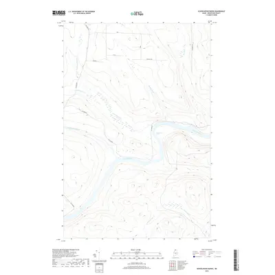 2018 Schoolhouse Rapids2018 Print · USGSNorthern Maine's remote river country is captured here during the late twenty-tens, showing the wilderness of Aroostook County. Researchers can trace the winding Saint John River through Schoolhouse Rapids and find the junctions of Pocwock Stream and Chimenticook Stream.
 - 2021 Map of Schoolhouse Rapids, 2021 Print
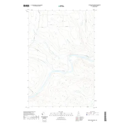 2021 Schoolhouse Rapids2021 Print · USGSThe northern Maine timberlands and the upper reaches of the Saint John River are documented here in the early twenty-first century. Researchers can trace the drainage of the Chimenticook Stream and identify river landmarks like Schoolhouse Rapids and Longs Rapids.
 - 2021 Map of Big Rapids, 2021 Print
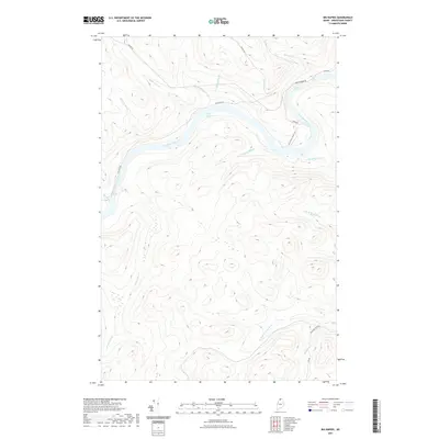 2021 Big Rapids2021 Print · USGSUpper Maine's river-driven landscape is recorded here in the early twenty-first century as the Saint John River winds through the North Woods. Trace historic timber and travel routes like Old School House Rd and find remote water features such as Poplar Island Rapids and Big Rapids.
 - 2024 Map of Big Rapids, 2024 Print
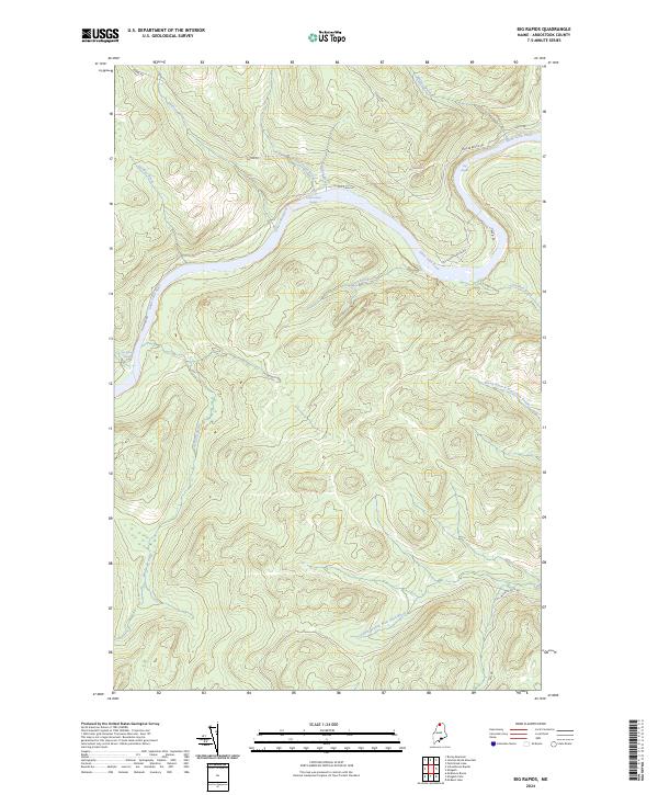 2024 Big Rapids2024 Print · USGSNorthern Maine's remote river corridors are captured here in the early twenty-first century, centered on the winding Saint John River. You can trace old transit routes like Michaud Tote Rd and locate specific water features including Big Rapids and Fox Brook Rapids.
 - 2024 Map of Schoolhouse Rapids, 2024 Print
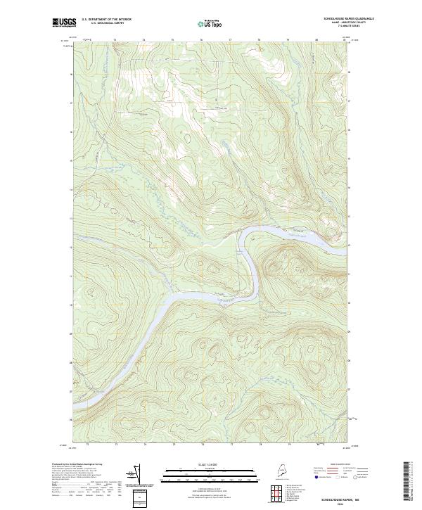 2024 Schoolhouse Rapids2024 Print · USGSThe northern Maine woods along the Saint John River are documented here in a modern survey of timberlands and waterways. Researchers can trace the drainage of Pocwock Stream and identify the precise locations of Schoolhouse Rapids and Long Rapids.
End of results
Showing maps 1-17 of 17
Top cities near T16 R12 WELS
Frequently asked questions
- What are the different types of historical maps available for T16 R12 WELS?
- What is the oldest map of T16 R12 WELS?
- Where can I purchase historical maps of T16 R12 WELS for my home or office?
- Where can I download high-res historical maps of T16 R12 WELS?
- Are there historical topographic maps available for T16 R12 WELS?
- Is there historical aerial imagery available for T16 R12 WELS?
- Where are historical maps of T16 R12 WELS sourced from?