Old Maps of Scarborough, Maine for Genealogy
Trace your family roots with 73 historic maps of Scarborough. These high-res maps reveal old neighborhoods, homesites, landmarks, and streets — helping you uncover where your ancestors lived and how the area evolved over time.
- Explore historic neighborhoods: Identify where your relatives may have lived in the 1800s or 1900s.
- Compare maps over time: Trace the changes in streets, buildings, and landmarks for multi-generational research.
- Perfect for genealogy & ancestry research: Used by family historians and researchers to map out lineage and migration.
These maps are an incredible resource for exploring your personal connection to Scarborough's past.
Scarborough, ME maps
(73)- 1891 Map of Portland
 1891 Portland1891 Print · USGSCoastal Maine at the height of its rail-and-milling era shows the rapid development of the Portland suburbs and industrial waterfront. Genealogists can trace early homesteads and rail stops like Cape Elizabeth Depot, Saccarappa, and Prout's Neck.
 - 1891 Map of Biddeford
 1891 Biddeford1891 Print · USGSCoastal Maine in the 1890s is defined by the vital rail corridors and working harbors of York County. Researchers can trace the early industrial development of Biddeford, locate family landmarks near Oak Ridge, and explore the maritime layout of Kennebunkport and its lighthouses.
 - 1893 Map of Biddeford
 1893 Biddeford1893 Print · USGSCoastal Maine during the late Victorian era is captured here at the height of its rail-and-sea economy. Genealogists and local historians can trace the early footprints of Biddeford, the busy docks of Cape Porpoise, and maritime landmarks like Wood Island Light.7 unique versions available
 - 1893 Map of Portland
 1893 Portland1893 Print · USGSCumberland County at the close of the nineteenth century centers on the bustling rail hub of Portland and its surrounding mill towns. Researchers can trace the Victorian-era development of Saccarappa, the seaside sprawl of Old Orchard, and the river industry at Cumberland Mills.6 unique versions available
 - 1893 Map of Casco Bay
 1893 Casco Bay1893 Print · USGSCasco Bay at the close of the nineteenth century reveals a landscape defined by maritime defense and seafaring life. Genealogists and maritime historians can trace coastal landmarks like Portland Head Light, Fort Preble, and the old settlement at Bowery Beach.5 unique versions available
 - 1914 Map of Portland
 1914 Portland1914 Print · USGSCoastal Maine at the start of the twentieth century shows a landscape tied together by industrial rivers and an expanding network of electric railroads. Genealogists can locate family names at Hillside Cemetery or trace old rural schoolhouses like the Babb School and Beech Ridge School.
 - 1914 Map of Casco Bay
 1914 Casco Bay1914 Print · USGSCumberland County's coastline and islands are shown in 1914, featuring a landscape of active coastal defenses and bustling maritime travel. Researchers can locate prominent landmarks such as Fort Mc Kinley, the Portland Head Light, and various steamer stops like Eastern Landing.
 - 1916 Map of Portland
 1916 Portland1916 Print · USGSGreater Portland and the Cumberland County coast are documented here during the height of the trolley and rail era. Researchers can trace ancestral property near the Evergreen Cemetery, early industries at Cumberland Mills, and vanished local sites like the State Reform School.7 unique versions available
 - 1916 Map of Casco Bay
 1916 Casco Bay1916 Print · USGSCumberland County’s shoreline was a landscape of strategic military forts and busy steamboat landings in the years before the Great War. Genealogists and historians can trace coastal heritage through landmarks like Fort Williams, Pine Grove School, and the scattered piers of Falmouth Foreside.8 unique versions available
 - 1916 Map of Portland And Vicinity
 1916 Portland And Vicinity1916 Print · USGSCoastal Maine at the start of the Great War reveals a landscape of heavy coastal fortifications and bustling rail terminals. Trace old neighborhood boundaries and family landmarks like Milliken Mills, Hillside Cemetery, and the Portland Head lighthouse.
 - 1918 Map of Portland And Vicinity, 1926 Print
 1918 Portland And Vicinity1926 Print · USGSCoastal Maine at the height of the Great War reveals a landscape of harbor forts, railroad junctions, and seaside settlements. Genealogists and historians can trace family roots through labels for Evergreen Cemetery, Spurwink Church, and dozens of rural schoolhouses like Babb School.
 - 1941 Map of Casco Bay
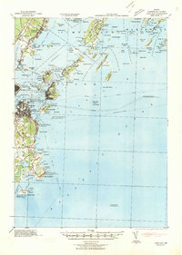 1941 Casco Bay1941 Print · USGSCasco Bay and its vital harbor defenses are captured here just as the nation prepared for war. Military historians and genealogists can locate Fort McKinley and Fort Williams alongside local landmarks like Pine Grove Sch.
 - 1941 Map of Portland
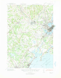 1941 Portland1941 Print · USGSCoastal Maine at the start of the 1940s reveals a bustling corridor of river mills and seaside settlements. Genealogists and historians can trace family roots through numerous local schools and landmarks like Cumberland Mills, Spurwink Ch, and Prouts Neck.
 - 1941 Map of Biddeford, 1952 Print
 1941 Biddeford1952 Print · USGSThe York County coastline during the early years of the war reveals a landscape of tidal harbors and rural school districts. Genealogists and historians can locate family plots at Laurel Hill Cem or trace old routes like Guinea Road past the Nott Sch.2 unique versions available
 - 1944 Map of Prouts Neck
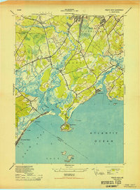 1944 Prouts Neck1944 Print · USGSCumberland County's coastline at the peak of the Second World War reveals a blend of seaside resorts and strategic military defense. Genealogists and historians can locate legacy sites like the Buggy Meetinghouse, the Observation Post at Prouts Neck, and the rail stops at West Scarboro Sta.
 - 1944 Map of Gorham
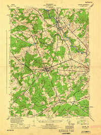 1944 Gorham1944 Print · USGSCumberland County during the mid-forties reveals a network of mill towns and crossroads communities linked by rail. Genealogists can trace family footprints near Hillside Cemetery or the State Normal School, while finding old rural routes through Newhall and South Gorham.
 - 1944 Map of Biddeford
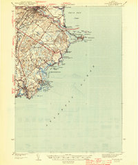 1944 Biddeford1944 Print · USGSCoastal York County at the start of the 1940s reveals a blend of textile-mill industry, storied summer resorts, and rugged maritime life. Researchers can trace the old schoolhouse network including Nell Sch, the grounds of St Francis College, and the waterfront at Cape Porpoise.2 unique versions available
 - 1944 Map of Cape Elizabeth
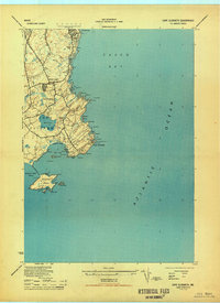 1944 Cape Elizabeth1944 Print · USGSCumberland County’s shoreline at the height of the Second World War shows a coastal landscape balanced between maritime defense and local community life. Genealogists and historians can locate Fort Williams, the Cape Elizabeth Church, and family-named landmarks like McKenney Pt.
 - 1944 Map of Old Orchard Beach
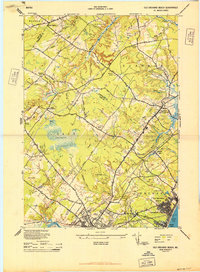 1944 Old Orchard Beach1944 Print · USGSCoastal Maine during the mid-forties reveals a landscape of summer resorts, rural schoolhouses, and working mills. Genealogists and historians can trace the foundations of Old Orchard Beach and find landmarks like Milliken Mills, the Heath Meetinghouse, and Ocean Park.
 - 1944 Map of Portland West, 1948 Print
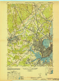 1944 Portland West1948 Print · USGSCoastal Maine during the mid-forties reveals a bustling network of rail yards and expanding neighborhoods west of the harbor. Researchers can trace the layout of the Portland Airport, find the historic Barker School, and locate vanished rail stops like West Falmouth Station.
 - 1948 Map of Portland West
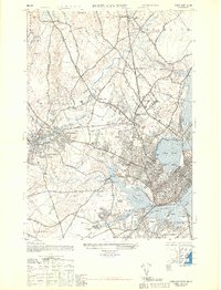 1948 Portland West1948 Print · USGSCoastal Maine during the late 1940s reveals a bustling intersection of rail and river industry between the city and its growing suburbs. Genealogists and historians can trace old neighborhoods like Woodfords or locate ancestors at Evergreen Cemetery and the State Reform School.
 - 1949 Map of Portland
 1949 Portland1949 Print · USGSCoastal Maine and the New Hampshire interior are shown in detail during the late forties, from the bustling harbors to the lakeside villages. Researchers can trace historical rail networks like the Boston & Maine RR and locate coastal defenses such as Fort Preble.3 unique versions available
 - 1949 Map of Biddeford Pool
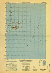 1949 Biddeford Pool1949 Print · USGSThe Maine coastline south of Saco Bay is captured here just after the war, detailing the maritime landscape of Saco and Biddeford. Researchers can trace the layout of Hill Beach and identify offshore landmarks like the Wood Island Lighthouse and Stage I.
 - 1950 Map of Gorham
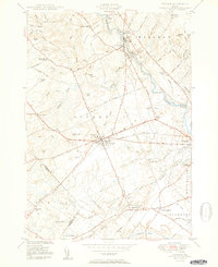 1950 Gorham1950 Print · USGSCumberland County at mid-century reveals a bustling network of river-powered mill towns and railroad corridors. Genealogists can locate family landmarks like Winship Corner, local institutions such as the State Normal Sch, and several rural burial sites including Browns Cem.2 unique versions available
 - 1956 Map of Old Orchard Beach, 1958 Print
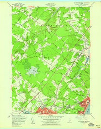 1956 Old Orchard Beach1958 Print · USGSThe Maine coast in the mid-fifties shows a bustling transition from rail-era resort life to the modern turnpike age. Researchers can trace family landmarks and civic centers like Thornton Academy, the Campground Tabernacle, and Beech Ridge Speedway.4 unique versions available
Showing maps 1-25 of 73
Top cities near Scarborough
- Portland historical maps
- South Portland historical maps
- Biddeford historical maps
- Westbrook historical maps
- Saco historical maps
- Windham historical maps
See more
Top neighborhoods of Scarborough
- Oak Hill historical maps
- Dunstan historical maps
- Town Landing historical maps
- Eight Corners historical maps
- North Scarborough historical maps
- Ocean View Harbor historical maps
See more
Frequently asked questions
- What are the different types of historical maps available for Scarborough?
- What is the oldest map of Scarborough?
- Where can I purchase historical maps of Scarborough for my home or office?
- Where can I download high-res historical maps of Scarborough?
- Are there historical topographic maps available for Scarborough?
- Is there historical aerial imagery available for Scarborough?
- Where are historical maps of Scarborough sourced from?