Old Maps of Chain of Ponds Township, Maine
Explore 47 old maps of Chain of Ponds Township, spanning from 1928 to today. These high-resolution historic maps reveal how streets, neighborhoods, landmarks, and natural features evolved over time — perfect for genealogy, metal detecting, research, and local history exploration.
What you can do with these maps:
- See how Chain of Ponds Township changed over time: Compare historical maps to modern-day views to trace roads, homesites, rail lines & more.
- View detailed metadata: Each map includes creators, publishers, year, scale, and archive source.
- Overlay maps with satellite & LiDAR: Visualize the past alongside modern tools to explore terrain & human change.
- Trusted historical sources: Maps sourced from the USGS, Library of Congress, and other archives.
- Access maps your way: View online, download high-res files, or order prints for personal or research use.
Start exploring old maps of Chain of Ponds Township to uncover forgotten places, hidden landmarks, and the deep history beneath your feet.
Chain of Ponds Township, ME maps
(47)- 1928 Map of Chain Lakes
 1928 Chain Lakes1928 Print · USGSThe Maine North Woods and the Canadian border come alive in the late 1920s, showing a landscape defined by timber camps and mountain peaks. Genealogists and historians can trace old forest outposts like Moosehill Camp and Ben Dewitt Camp or the location of Round Mtn PO.
 - 1932 Map of Arnold Pond
 1932 Arnold Pond1932 Print · USGSThe Maine-Quebec borderlands come into focus in the early 1930s, showing a remote landscape of mountain ponds and international crossings. Trace the old route of State Highway No 143 past the U S Customs station near Arnold Pond and Crosby Pond.3 unique versions available
 - 1932 Map of Chain Lakes, 1961 Print
 1932 Chain Lakes1961 Print · USGSThe Maine-Quebec borderlands remained a land of remote sporting camps and timber tracts in the early 1930s. Researchers can locate vanished wilderness outposts like Chain Lakes Camp, the historic path of the Arnold Trail, and the Snow Mtn Fire Tower.2 unique versions available
 - 1935 Map of Chain Lakes
 1935 Chain Lakes1935 Print · USGSThe Maine-Quebec borderlands are captured here in the mid-1930s, showing a remote wilderness of mountain ridges and narrow waterways. Researchers can trace the historic Arnold Trail and locate isolated outposts like Chain Lakes Camp and Moose Mill Camp.4 unique versions available
 - 1935 Map of Arnold Pond
 1935 Arnold Pond1935 Print · USGSThe international border between Maine and Quebec is captured here in the mid-1930s, showing the remote township lines and high mountain peaks. You can trace the path of Route 4 past U.S. Customs and explore the alpine waters of Arnold Pond and Big Island Pond.3 unique versions available
 - 1949 Map of Jackman
 1949 Jackman1949 Print · USGSThe Quebec and Maine borderlands are shown in great detail during the late 1940s, highlighting the industrial and natural geography of the region. Trace old rail lines like the Canadian Pacific and locate settlements from Sherbrooke to Scotstown.2 unique versions available
 - 1951 Map of Chain Lakes
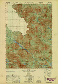 1951 Chain Lakes1951 Print · USGSFranklin County's remote northern borderlands are shown here in the early fifties, following the historic Arnold Trail through the Chain of Ponds Lakes. Researchers can locate seasonal outposts like Caribou Camp or Lowelltown and trace the waterways of JIM POND and SEVEN PONDS.
 - 1963 Map of Jackman
 1963 Jackman1963 Print · USGSThe international borderlands of Maine and Quebec come alive in the mid-twentieth century, showing a landscape of timber towns and rail connections. Genealogists and historians can trace the paths of the Canadian Pacific Railway through Jackman or locate families in Sherbrooke and Megantic.
 - 1966 Map of Sherbrooke
 1966 Sherbrooke1966 Print · USGSThe borderlands of Quebec and Maine come alive in the mid-1960s, documenting the industrial towns and deep woods of the Northeast. Genealogists can trace family lines through Sherbrooke and Coaticook, or locate remote logging outposts along the Moose River and Flagstaff Lake.
 - 1969 Map of Chain Of Ponds, 1973 Print
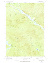 1969 Chain Of Ponds1973 Print · USGSThe northern Maine woods near the border were a landscape of deep timber and historic travel routes in the late sixties. Researchers can trace the path of the Arnold Trail past remote sites like the Chain of Ponds Camp, Upper Farm, and the Snow Mtn Lookout Tower.2 unique versions available
 - 1969 Map of Jim Pond, 1973 Print
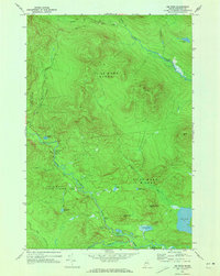 1969 Jim Pond1973 Print · USGSNorthwestern Maine's timberlands and watercourses are meticulously mapped here in the late sixties, showing a wilderness defined by its ponds and township lines. Trace the route of the North Branch Dead River past Sarampus Falls Roadside Park and the isolated Hurricane Pond.2 unique versions available
 - 1970 Map of Merrill Mountain, 1973 Print
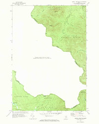 1970 Merrill Mountain1973 Print · USGSThe international border between Maine and Quebec was surveyed here in the early 1970s, revealing a landscape of timberlands and isolated outposts. Researchers can trace historic township lines like the Merrill Strip and find remote sites such as Moose Mill Camp and Lower Nathan Bog.
 - 1976 Map of Sherbrooke
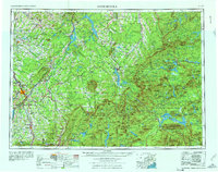 1976 Sherbrooke1976 Print · USGSThe northern Maine woods and Quebec’s Eastern Townships meet in this mid-century survey of the rugged international borderlands. Genealogists and historians can trace rail-and-river connections through Thetford Mines, follow the Dead River to Flagstaff Lake, or locate small border crossings at Stanhope and Beecher Falls.2 unique versions available
 - 1977 Map of Northwest Pond, 1983 Print
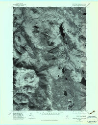 1977 Northwest Pond1983 Print · USGSThe Maine-Quebec borderlands appear in striking detail in the late seventies, showing a landscape defined by timber and water. Researchers can trace the flow of the Kennebago River and locate isolated features like Northwest Pond and Mont Gosford.
 - 1977 Map of Chain Of Ponds, 1983 Print
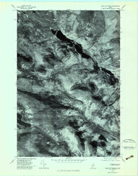 1977 Chain Of Ponds1983 Print · USGSThe Maine wilderness in the late seventies is captured here through detailed aerial imagery, focusing on the deep waters of the Chain of Ponds. Researchers can trace the isolated Upper Farm and the high-elevation peaks of Snow Mountain and Bag Pond Mountain.
 - 1977 Map of Jim Pond, 1983 Print
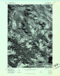 1977 Jim Pond1983 Print · USGSFranklin County's remote wilderness is captured in the late seventies through this detailed aerial orthophotograph. Researchers can trace the winding course of the Dead River and study the terrain surrounding Kibby Range and Jim Pond.
 - 1977 Map of Louise Mountain, 1983 Print
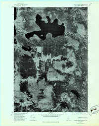 1977 Louise Mountain1983 Print · USGSThe Maine-Quebec borderlands appear in striking photographic detail during the late seventies, documenting the remote timberlands and waterways. Researchers can trace the layout of Saint-Augustin-De-Woburn and the shores of Lac Aux Araignées.
 - 1977 Map of Merrill Mountain, 1983 Print
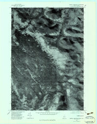 1977 Merrill Mountain1983 Print · USGSThe Maine-Quebec border region is shown in high detail through 1970s aerial imagery, revealing the untamed wilderness of Franklin County. Trace the winding Riviere Aux Araignees and the high peaks of Merrill Mountain and Vane Mountain.
 - 1986 Map of Flagstaff Lake
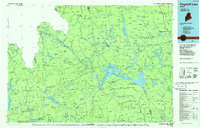 1986 Flagstaff Lake1986 Print · USGSThe Maine North Woods and the Dead River valley are captured here in the mid-1980s, an era of established hydroelectric lakes and outdoor recreation. Genealogists and researchers can trace the vicinity of Kennebago Settlement, Langtown Mill, and the villages of Stratton and Eustis.
 - 1990 Map of Northwest Pond
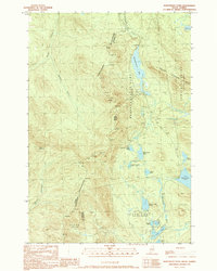 1990 Northwest Pond1990 Print · USGSThe Maine-Quebec borderlands appear in high detail during the 1990s, revealing a landscape of high summits and remote glacial basins. Researchers can trace the international boundary line past Mont Gosford and locate historical landmarks like Massachusetts Bog and Seven Ponds.
 - 1990 Map of Louise Mountain
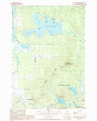 1990 Louise Mountain1990 Print · USGSThe international boundary between Maine and Quebec is captured here in the late twentieth century, showing the remote border crossing at Coburn Gore. Researchers can trace the timber-based economy through labels like Scierie and locate historic points around Arnold Pond and Lac aux Araignées.
 - 1994 Map of Flagstaff Lake
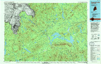 1994 Flagstaff Lake1994 Print · USGSThe Maine wilderness and the Quebec border come alive in this mid-nineties survey of the Dead River country. Researchers can trace the Appalachian Trail over Bigelow Mountain and locate remote sites like Kennebago Settlement.
 - 2011 Map of Jim Pond, 2011 Print
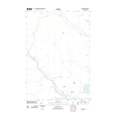 2011 Jim Pond2011 Print · USGSFranklin County's timberlands and remote waterways are captured here in the early twenty-first century. Researchers can trace the flow of the North Branch Dead River and locate secluded spots like Sarampus Falls and Jim Pond.
 - 2011 Map of Northwest Pond, 2011 Print
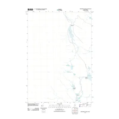 2011 Northwest Pond2011 Print · USGSThis high-country border region at the edge of Quebec was captured in the early 21st century when logging and water management shaped the landscape. Researchers can trace the drainage patterns of Massachusetts Bog and locate several numbered dams such as Beaver Pond Dam.
 - 2011 Map of Chain of Ponds, 2011 Print
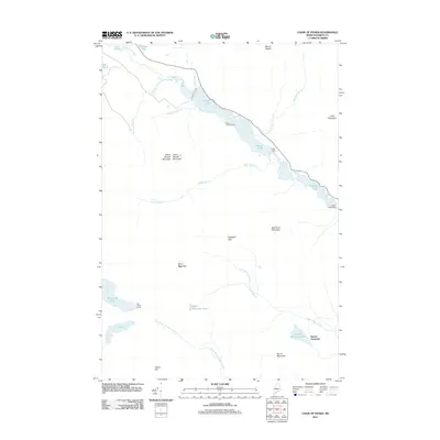 2011 Chain of Ponds2011 Print · USGSFranklin County's remote pond chains and mountain peaks are captured here in the early twenty-first century. Researchers can trace the legacy of seasonal camps and water management at Chain Lakes Dam, Chain of Ponds Camp, and Upper Farm.
Showing maps 1-25 of 47
Top cities near Chain of Ponds Township
Frequently asked questions
- What are the different types of historical maps available for Chain of Ponds Township?
- What is the oldest map of Chain of Ponds Township?
- Where can I purchase historical maps of Chain of Ponds Township for my home or office?
- Where can I download high-res historical maps of Chain of Ponds Township?
- Are there historical topographic maps available for Chain of Ponds Township?
- Is there historical aerial imagery available for Chain of Ponds Township?
- Where are historical maps of Chain of Ponds Township sourced from?