2000s (21st Century) Maps of Hancock, Maine
Explore 25 historic maps of Hancock from the 2000s (21st Century). These maps offer a rare glimpse into what life looked like during the 2000s — showing old roads, neighborhoods, homes, and landmarks that have changed or disappeared over time.
Whether you're researching your family's past, planning a metal detecting trip, or studying how Hancock's landscape evolved across the 2000s, these high-resolution maps are a powerful tool for exploring the history of this region.
- Focus on a specific era: All maps on this page are from the 2000s, giving you a focused view of this time period.
- See what’s changed: Compare century-old streets, trails, and buildings to today's modern landscape using overlays and satellite layers.
- Research with precision: Use these maps for genealogy, historical research, land use analysis, or educational projects.
- View, download, or print: Maps are fully viewable online in high resolution, and can be downloaded or printed for your own records.
Start exploring Hancock's history through authentic maps from the 2000s. This is your window into the past.
Hancock, ME maps
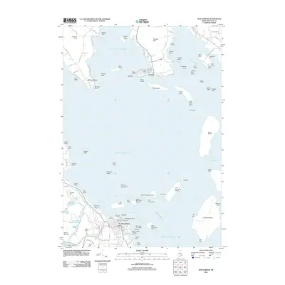
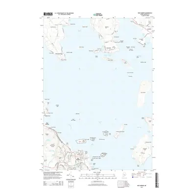
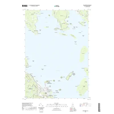
(25)- 2011 Map of Salsbury Cove, 2011 Print
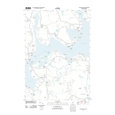 2011 Salsbury Cove2011 Print · USGSCovers Hancock, including Bar Harbor, Mount Desert, and other nearby areas
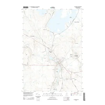
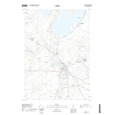
 - 2011 Map of Ellsworth, 2011 Print
 2011 Ellsworth2011 Print · USGSCovers Hancock, including Ellsworth, Lamoine, and other nearby areas
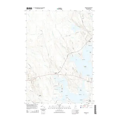
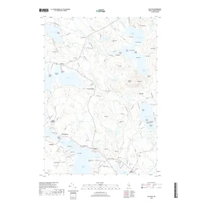
 - 2011 Map of Sullivan, 2011 Print
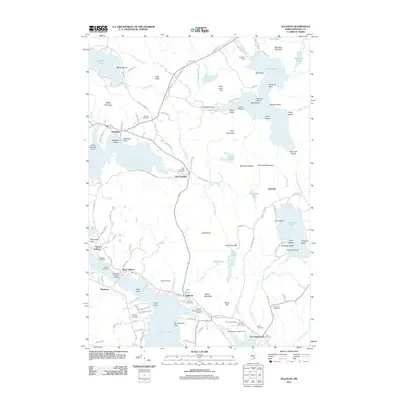 2011 Sullivan2011 Print · USGSCovers Hancock, including Franklin, Sullivan, and other nearby areas
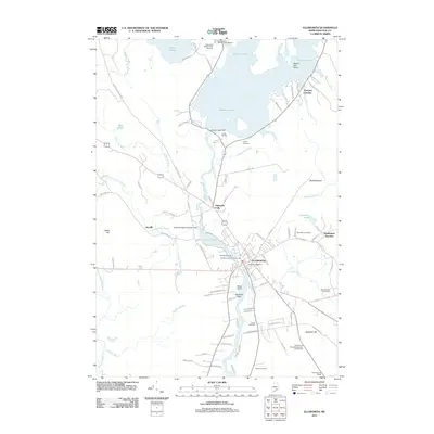
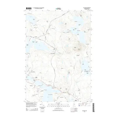
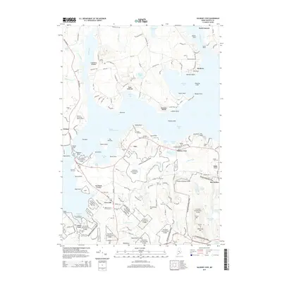
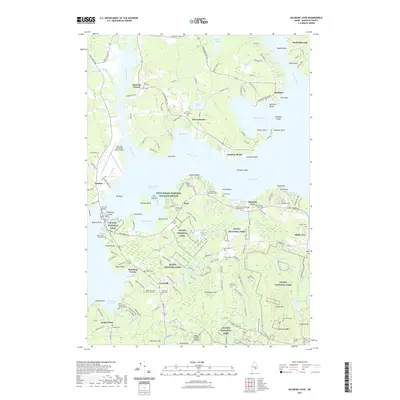
 - 2011 Map of Hancock, 2011 Print
 2011 Hancock2011 Print · USGSCovers Hancock, including Lamoine, Trenton, and other nearby areas
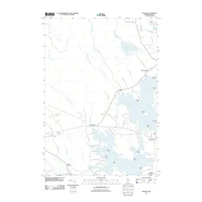
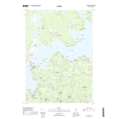
 - 2011 Map of Bar Harbor, 2011 Print
 2011 Bar Harbor2011 Print · USGSCovers Hancock, including Bar Harbor, Lamoine, and other nearby areas
 - 2014 Map of Sullivan, 2014 Print
 2014 Sullivan2014 Print · USGSCovers Hancock, including Franklin, Sullivan, and other nearby areas
 - 2014 Map of Hancock, 2014 Print
 2014 Hancock2014 Print · USGSCovers Hancock, including Lamoine, Trenton, and other nearby areas
 - 2014 Map of Ellsworth, 2014 Print
 2014 Ellsworth2014 Print · USGSCovers Hancock, including Ellsworth, Lamoine, and other nearby areas
 - 2014 Map of Bar Harbor, 2014 Print
 2014 Bar Harbor2014 Print · USGSCovers Hancock, including Bar Harbor, Lamoine, and other nearby areas
 - 2014 Map of Salsbury Cove, 2014 Print
 2014 Salsbury Cove2014 Print · USGSCovers Hancock, including Bar Harbor, Mount Desert, and other nearby areas
 - 2018 Map of Sullivan, 2018 Print
 2018 Sullivan2018 Print · USGSCovers Hancock, including Franklin, Sullivan, and other nearby areas
 - 2018 Map of Salsbury Cove, 2018 Print
 2018 Salsbury Cove2018 Print · USGSCovers Hancock, including Bar Harbor, Mount Desert, and other nearby areas
 - 2018 Map of Bar Harbor, 2018 Print
 2018 Bar Harbor2018 Print · USGSCovers Hancock, including Bar Harbor, Lamoine, and other nearby areas
 - 2018 Map of Hancock, 2018 Print
 2018 Hancock2018 Print · USGSCovers Hancock, including Lamoine, Trenton, and other nearby areas
 - 2018 Map of Ellsworth, 2018 Print
 2018 Ellsworth2018 Print · USGSCovers Hancock, including Ellsworth, Lamoine, and other nearby areas
 - 2021 Map of Hancock, 2021 Print
 2021 Hancock2021 Print · USGSCovers Hancock, including Lamoine, Trenton, and other nearby areas
 - 2021 Map of Bar Harbor, 2021 Print
 2021 Bar Harbor2021 Print · USGSCovers Hancock, including Bar Harbor, Lamoine, and other nearby areas
 - 2021 Map of Salsbury Cove, 2021 Print
 2021 Salsbury Cove2021 Print · USGSCovers Hancock, including Bar Harbor, Mount Desert, and other nearby areas
 - 2021 Map of Sullivan, 2021 Print
 2021 Sullivan2021 Print · USGSCovers Hancock, including Franklin, Sullivan, and other nearby areas
 - 2021 Map of Ellsworth, 2021 Print
 2021 Ellsworth2021 Print · USGSCovers Hancock, including Ellsworth, Lamoine, and other nearby areas
 - 2024 Map of Hancock, 2024 Print
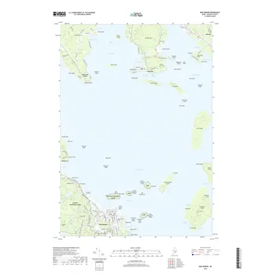
 2024 Hancock2024 Print · USGSThe Hancock County coastline is mapped in contemporary detail, showing the intricate tidal waters of Taunton Bay and Skillings River. Researchers can trace old family burial grounds like McFarland Hill Cem and historic settlements at West Franklin and North Lamoine.
 - 2024 Map of Sullivan, 2024 Print
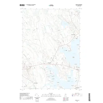
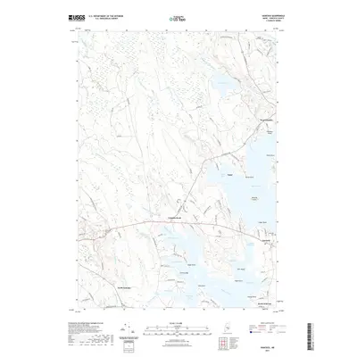
 2024 Sullivan2024 Print · USGSAlong the Maine coast in recent decades, these settlements from Franklin to Sullivan reveal a landscape defined by saltwater bays and stony peaks. Genealogists can locate family names at York Hill Cem, Blaisdell Cem, and Sumner Cem.
 - 2024 Map of Bar Harbor, 2024 Print
 2024 Bar Harbor2024 Print · USGSMaine's rugged coastline is documented here during the modern era, showing the intersection of Acadia National Park and historic shore towns. Trace coastal genealogy at Doanes Point Cem or explore the carriage roads near Witch Hole Pond.
 - 2024 Map of Ellsworth, 2024 Print
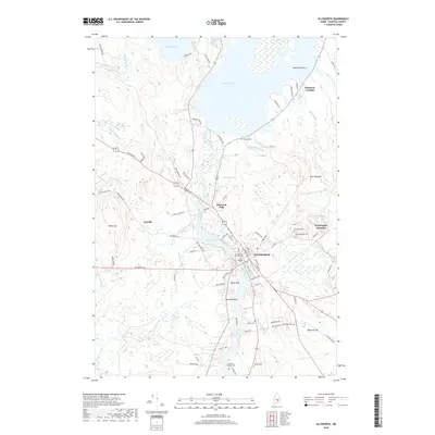
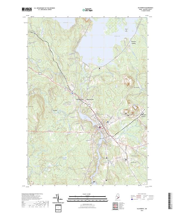 2024 Ellsworth2024 Print · USGSCoastal Maine at the height of its modern development reveals a intricate landscape of river-fed towns and historic burial sites. Genealogists and historians can trace family roots at Old Burying Ground Cem and explore the historic rail and road hub at Washington Junction.
 - 2024 Map of Salsbury Cove, 2024 Print
 2024 Salsbury Cove2024 Print · USGSHancock County's coastal interface at the northern reach of Mount Desert Island is captured in this recent survey. Genealogists and local historians can locate numerous family burial sites such as the Emery Family Burial Ground, Newman Grave, and Mountain View Cem.
End of results
Showing maps 1-25 of 25
Top cities near Hancock
- Ellsworth historical maps
- Bar Harbor historical maps
- Blue Hill historical maps
- Deer Isle historical maps
- Mount Desert historical maps
- Southwest Harbor historical maps
See more
Top neighborhoods of Hancock
- Franklin Road historical maps
- South Hancock historical maps
- Hancock Point historical maps
- Waukeag historical maps
Frequently asked questions
- What are the different types of historical maps available for Hancock?
- What is the oldest map of Hancock?
- Where can I purchase historical maps of Hancock for my home or office?
- Where can I download high-res historical maps of Hancock?
- Are there historical topographic maps available for Hancock?
- Is there historical aerial imagery available for Hancock?
- Where are historical maps of Hancock sourced from?