Old Maps of Libby Hill, Gardiner for Metal Detecting
Plan your next treasure hunt with 15 historic maps of Libby Hill. Find old homesites, ghost towns, trails, and gathering spots that may be lost to time — perfect for identifying promising metal detecting locations.
- Locate forgotten sites: Uncover places like long-lost settlements, abandoned rail lines, or gathering spots.
- Plan better hunts: Use map overlays combined with LiDAR or satellite views to narrow in on historically rich areas.
- Made for detectorists: Thousands of hobbyists use these maps to discover relics, coins, and hidden history.
Use these historic maps to boost your research and find new opportunities beneath the surface of Libby Hill.
Libby Hill, Gardiner maps
(15)- 1892 Map of Gardiner
 1892 Gardiner1892 Print · USGSThe Kennebec River valley in the 1890s was a bustling corridor of rail and river commerce. Genealogists and historians can trace old homesteads and landings from Gardiner down to Bowdoinham, including points like Ship Yard Pt and the grounds of the Richmond Campmeeting.7 unique versions available
 - 1943 Map of Gardiner
 1943 Gardiner1943 Print · USGSThe Kennebec River valley in the early 1940s reveals a landscape of riverside industry and inland farming communities. Researchers can trace ancestral roots through dozens of local schoolhouses like J F Stevens Sch and family crossroads such as Spears Cor or Starbird Cor.4 unique versions available
 - 1948 Map of Bangor
 1948 Bangor1948 Print · USGSThe Maine coast and its industrial river valleys are captured here shortly after the war, showing the vital shipping and rail hubs of the late 1940s. Genealogists and historians can trace the tracks of the Maine Central RR connecting Bangor, Augusta, and Old Town.
 - 1956 Map of Bangor, 1966 Print
 1956 Bangor1966 Print · USGSMid-century Maine comes alive in this survey of the rugged coast and river valleys during the 1950s. Genealogists and historians can trace the vital rail corridors of the Maine Central RR connecting timber towns like Old Town to the coast at Bar Harbor.3 unique versions available
 - 1957 Map of Gardiner, 1959 Print
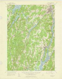 1957 Gardiner1959 Print · USGSThe Kennebec River valley in the late fifties shows a landscape of riverfront industry and rural crossroads. Genealogists and historians can trace family-named sites like Batchelders Crossing or Litchfield Academy and explore the complex waters of Swan Island.3 unique versions available
 - 1960 Map of Bangor
 1960 Bangor1960 Print · USGSCentral Maine in the sixties reveals a landscape of river-powered industry and sprawling coastal island chains. Researchers can trace the rail corridors of the Maine Central or locate mid-century aviation landmarks like Dow Air Force Base.
 - 1961 Map of Bangor
 1961 Bangor1961 Print · USGSMid-century Maine comes alive through its busy river ports and rocky archipelagoes during a period of steady maritime and rail commerce. Researchers can trace the path of the Maine Central railroad and locate coastal landmarks from Acadia National Park to Vinalhaven Island.
 - 1980 Map of Gardiner
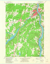 1980 Gardiner1980 Print · USGSGardiner and the Kennebec River valley are captured in the early 1980s as modern turnpike travel intersected with traditional riverfront industry. Genealogists can locate several burial grounds like St Josephs Cem and trace historical sites such as the Colburn House State Mem.3 unique versions available
 - 1980 Map of Gardiner, 1991 Print
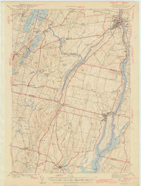 1980 Gardiner1991 Print · USGSMid-century Kennebec County comes alive in this 1940s survey of the river-and-rail corridor. Genealogists can trace family landmarks like Hathorn Hill, locate small rural schools such as Adams Sch, and find ancestors in Evergreen Cem.
 - 1984 Map of Augusta
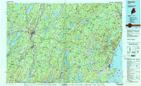 1984 Augusta1984 Print · USGSMid-coast and central Maine were undergoing steady change in the mid-eighties as traditional river and coastal industries met expanding recreation. You can trace the Maine Central RR through Augusta or explore the rugged shoreline from Rockland Harbor up to Mount Megunticook.
 - 2011 Map of Gardiner, 2011 Print
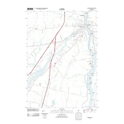 2011 Gardiner2011 Print · USGSMaine's Kennebec River valley is shown here in the early twenty-first century, centered on the riverfront hubs of Gardiner and Randolph. Genealogists and local historians can locate many family burial grounds, including Blanchard Cemetery, Libby Hill Cemetery, and Saint Josephs Cemetery.
 - 2014 Map of Gardiner, 2014 Print
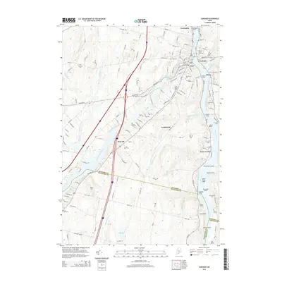 2014 Gardiner2014 Print · USGSThe Kennebec River valley in the early 2010s shows a landscape defined by its historic riverfront and numerous hilltop burial grounds. Genealogists can trace family heritage through Oak Grove Cemetery, Christ Church, and the Brown Family Cemetery.
 - 2018 Map of Gardiner, 2018 Print
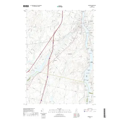 2018 Gardiner2018 Print · USGSThe Kennebec River valley in the late twenty-teens remains a landscape shaped by its waterways and historic family plots. Genealogists can trace numerous burial sites including Maple Grove Cem, Saint Josephs Cem, and the Libby Hill Cem.
 - 2021 Map of Gardiner, 2021 Print
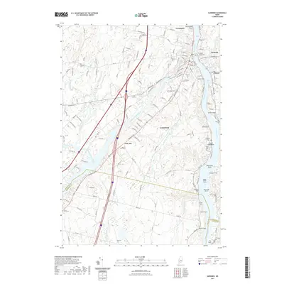 2021 Gardiner2021 Print · USGSThe Kennebec River valley comes into sharp focus in this 2021 survey of the Gardiner area and its neighboring river towns. Genealogists and historians can locate numerous family and parish burial grounds, from Oak Grove Cem to the secluded Reed Cem.
 - 2024 Map of Gardiner, 2024 Print
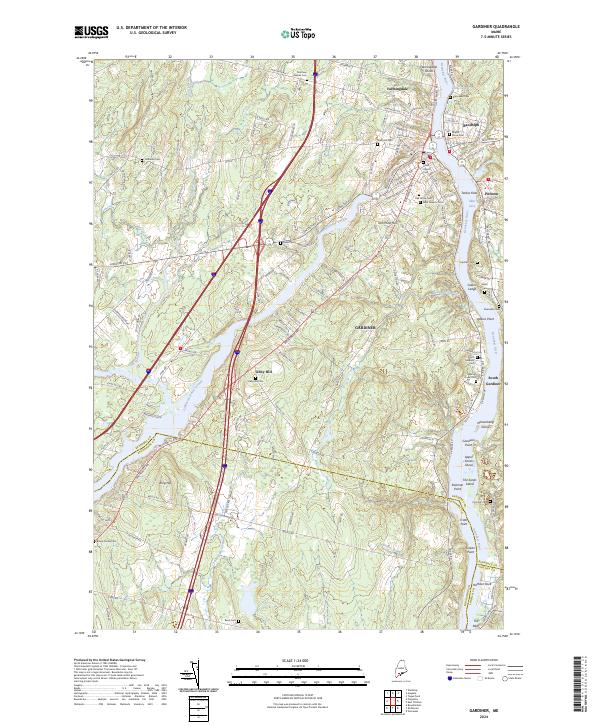 2024 Gardiner2024 Print · USGSThe riverfront communities along the Kennebec River are documented here in their modern context. Researchers can trace dozens of family and community burial sites, including Oak Grove Cem and the Brown Family Cem, or locate landmarks like Iron Mine Hill.
End of results
Showing maps 1-15 of 15
Frequently asked questions
- What are the different types of historical maps available for Libby Hill?
- What is the oldest map of Libby Hill?
- Where can I purchase historical maps of Libby Hill for my home or office?
- Where can I download high-res historical maps of Libby Hill?
- Are there historical topographic maps available for Libby Hill?
- Is there historical aerial imagery available for Libby Hill?
- Where are historical maps of Libby Hill sourced from?