Old Maps of Miller Lawn, Waterville for Metal Detecting
Plan your next treasure hunt with 15 historic maps of Miller Lawn. Find old homesites, ghost towns, trails, and gathering spots that may be lost to time — perfect for identifying promising metal detecting locations.
- Locate forgotten sites: Uncover places like long-lost settlements, abandoned rail lines, or gathering spots.
- Plan better hunts: Use map overlays combined with LiDAR or satellite views to narrow in on historically rich areas.
- Made for detectorists: Thousands of hobbyists use these maps to discover relics, coins, and hidden history.
Use these historic maps to boost your research and find new opportunities beneath the surface of Miller Lawn.
Miller Lawn, Waterville maps
(15)- 1892 Map of Waterville
 1892 Waterville1892 Print · USGSCentral Maine thrived along the river valleys during the late nineteenth-century rail boom. Researchers can trace the development of the Maine Central Railroad through Waterville or locate older river crossings like Pishon Ferry.7 unique versions available
 - 1943 Map of Waterville
 1943 Waterville1943 Print · USGSThe Kennebec and Sebasticook river valleys are shown in detail during the early 1940s, highlighting the rail hubs of Waterville and Winslow. Genealogists can trace family landmarks like Pratt Cem or the rural Covell Sch and Ten Lots Chapel.2 unique versions available
 - 1948 Map of Bangor
 1948 Bangor1948 Print · USGSThe Maine coast and its industrial river valleys are captured here shortly after the war, showing the vital shipping and rail hubs of the late 1940s. Genealogists and historians can trace the tracks of the Maine Central RR connecting Bangor, Augusta, and Old Town.
 - 1956 Map of Bangor, 1966 Print
 1956 Bangor1966 Print · USGSMid-century Maine comes alive in this survey of the rugged coast and river valleys during the 1950s. Genealogists and historians can trace the vital rail corridors of the Maine Central RR connecting timber towns like Old Town to the coast at Bar Harbor.3 unique versions available
 - 1957 Map of Waterville, 1959 Print
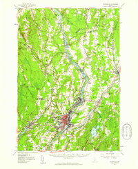 1957 Waterville1959 Print · USGSThe Kennebec River valley in the late fifties shows a bustling industrial landscape centered on the rail-and-river hub of Waterville. Researchers can trace historic institutions like Colby College, the Central Maine Sanatorium, and family-named sites such as Pishon Ferry or Ten Lots Chapel.3 unique versions available
 - 1960 Map of Bangor
 1960 Bangor1960 Print · USGSCentral Maine in the sixties reveals a landscape of river-powered industry and sprawling coastal island chains. Researchers can trace the rail corridors of the Maine Central or locate mid-century aviation landmarks like Dow Air Force Base.
 - 1961 Map of Bangor
 1961 Bangor1961 Print · USGSMid-century Maine comes alive through its busy river ports and rocky archipelagoes during a period of steady maritime and rail commerce. Researchers can trace the path of the Maine Central railroad and locate coastal landmarks from Acadia National Park to Vinalhaven Island.
 - 1975 Map of Waterville SW, 1980 Print
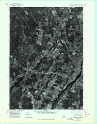 1975 Waterville SW1980 Print · USGSThe mid-1970s landscape of Kennebec County is captured in this aerial survey, showcasing the urban layout and industrial riverfronts of central Maine. Local historians can trace the growth of Waterville and Oakland alongside the Kennebec River.
 - 1982 Map of Waterville, 1983 Print
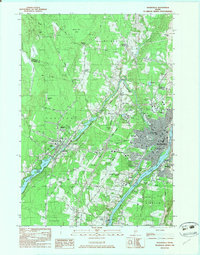 1982 Waterville1983 Print · USGSWaterville and Winslow thrived as industrial and academic centers during the early eighties, centered on the powerful Kennebec River. Genealogists and historians can trace the campuses of Colby College and Thomas College or locate family plots in Lakeview Cem and Drummond Cem.3 unique versions available
 - 1985 Map of Skowhegan, 1986 Print
 1985 Skowhegan1986 Print · USGSCentral Maine in the mid-eighties shows a landscape of river-driven industry and rural crossroads. Genealogists can trace family names and farmsteads near Lake George or along the Maine Central Railroad through Pittsfield and Burnham.2 unique versions available
 - 2011 Map of Waterville, 2011 Print
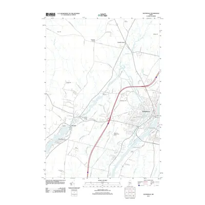 2011 Waterville2011 Print · USGSKennebec River industry and transportation hubs take center stage in the Waterville area during the early 21st century. Trace historical local landmarks like the Fort Halifax Dam, Lakeview Cemetery, and the Moody Snow Pond Seaplane Base.
 - 2014 Map of Waterville, 2014 Print
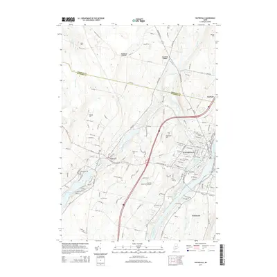 2014 Waterville2014 Print · USGSThe Kennebec River valley in the mid-2010s shows a landscape defined by historic mill towns and prominent college campuses. Researchers can trace numerous local burial sites like The Old Cem and Saint Francis Catholic Cem alongside landmarks like Colby Coll.
 - 2018 Map of Waterville, 2018 Print
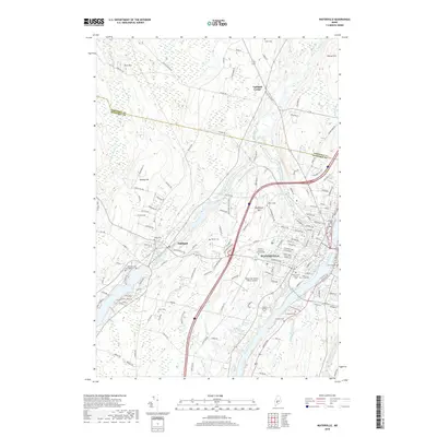 2018 Waterville2018 Print · USGSWaterville and the Kennebec River valley are captured in this recent survey, showcasing a landscape shaped by education, industry, and historic burial grounds. Researchers can trace family roots at the Saint Francis Catholic Cem or explore the campuses of Colby College and Thomas College.
 - 2021 Map of Waterville, 2021 Print
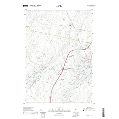 2021 Waterville2021 Print · USGSThe riverfront city of Waterville and its surrounding hill country are captured here in the early twenty-first century. Researchers can locate numerous local landmarks including Colby College, the Waterville Robert Lafleur Airport, and several family burial grounds like Barton Cem and Drummond Cem.
 - 2024 Map of Waterville, 2024 Print
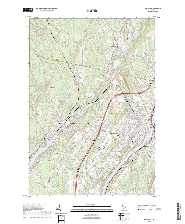 2024 Waterville2024 Print · USGSThe Kennebec River valley in the early 2020s shows a mature college town and regional hub. Genealogists and historians can locate numerous burial sites like Pine Grove Cem and Fort Hill Cemetery or trace the Pan Am Railways corridor.
End of results
Showing maps 1-15 of 15
Frequently asked questions
- What are the different types of historical maps available for Miller Lawn?
- What is the oldest map of Miller Lawn?
- Where can I purchase historical maps of Miller Lawn for my home or office?
- Where can I download high-res historical maps of Miller Lawn?
- Are there historical topographic maps available for Miller Lawn?
- Is there historical aerial imagery available for Miller Lawn?
- Where are historical maps of Miller Lawn sourced from?