2000s (21st Century) Maps of Sturtevant Hill, Winthrop
Explore 6 historic maps of Sturtevant Hill from the 2000s (21st Century). These maps offer a rare glimpse into what life looked like during the 2000s — showing old roads, neighborhoods, homes, and landmarks that have changed or disappeared over time.
Whether you're researching your family's past, planning a metal detecting trip, or studying how Sturtevant Hill's landscape evolved across the 2000s, these high-resolution maps are a powerful tool for exploring the history of this region.
- Focus on a specific era: All maps on this page are from the 2000s, giving you a focused view of this time period.
- See what’s changed: Compare century-old streets, trails, and buildings to today's modern landscape using overlays and satellite layers.
- Research with precision: Use these maps for genealogy, historical research, land use analysis, or educational projects.
- View, download, or print: Maps are fully viewable online in high resolution, and can be downloaded or printed for your own records.
Start exploring Sturtevant Hill's history through authentic maps from the 2000s. This is your window into the past.
Sturtevant Hill, Winthrop maps
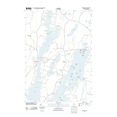
(6)- 2000 Map of Winthrop, 2001 Print
 2000 Winthrop2001 Print · USGSMaine's lake country at the turn of the millennium shows a landscape defined by deep-water ponds and small lakeside villages. Genealogists can locate family burial sites like Whistler Cem and Benson Cem, or trace landmarks at Tallwood and Winthrop Center.
 - 2011 Map of Winthrop, 2011 Print
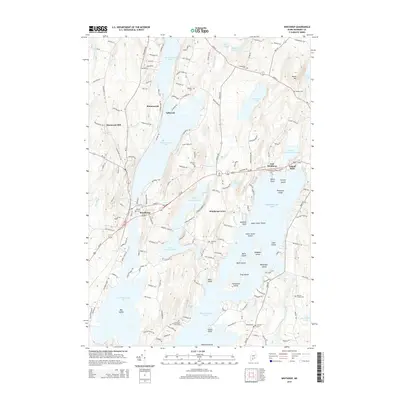
 2011 Winthrop2011 Print · USGSCovers Sturtevant Hill, including Winthrop, Monmouth, and other nearby areas
 - 2014 Map of Winthrop, 2014 Print
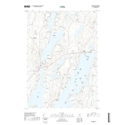
 2014 Winthrop2014 Print · USGSCovers Sturtevant Hill, including Winthrop, Monmouth, and other nearby areas
 - 2018 Map of Winthrop, 2018 Print
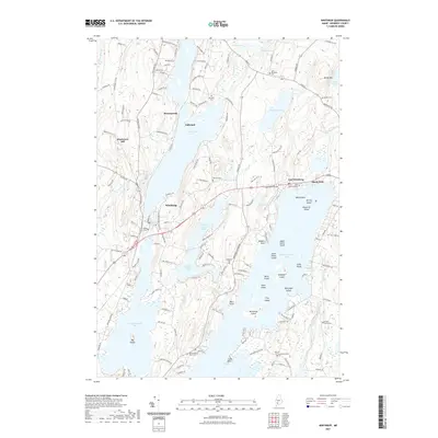
 2018 Winthrop2018 Print · USGSCovers Sturtevant Hill, including Winthrop, Monmouth, and other nearby areas
 - 2021 Map of Winthrop, 2021 Print
 2021 Winthrop2021 Print · USGSCovers Sturtevant Hill, including Winthrop, Monmouth, and other nearby areas
 - 2024 Map of Winthrop, 2024 Print
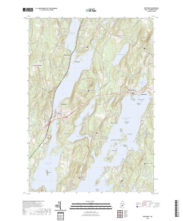 2024 Winthrop2024 Print · USGSKennebec County’s lake district comes alive in this survey of the shoreline communities surrounding Winthrop. Researchers can trace family history through numerous burial sites like Monmouth Neck Cem or explore the many islands of Cobbosseecontee Lake.
End of results
Showing maps 1-6 of 6
Frequently asked questions
- What are the different types of historical maps available for Sturtevant Hill?
- What is the oldest map of Sturtevant Hill?
- Where can I purchase historical maps of Sturtevant Hill for my home or office?
- Where can I download high-res historical maps of Sturtevant Hill?
- Are there historical topographic maps available for Sturtevant Hill?
- Is there historical aerial imagery available for Sturtevant Hill?
- Where are historical maps of Sturtevant Hill sourced from?