Old Maps of Middle Intervale, Bethel
Explore 17 old maps of Middle Intervale, spanning from 1914 to today. These high-resolution historic maps reveal how streets, neighborhoods, landmarks, and natural features evolved over time — perfect for genealogy, metal detecting, research, and local history exploration.
What you can do with these maps:
- See how Middle Intervale changed over time: Compare historical maps to modern-day views to trace roads, homesites, rail lines & more.
- View detailed metadata: Each map includes creators, publishers, year, scale, and archive source.
- Overlay maps with satellite & LiDAR: Visualize the past alongside modern tools to explore terrain & human change.
- Trusted historical sources: Maps sourced from the USGS, Library of Congress, and other archives.
- Access maps your way: View online, download high-res files, or order prints for personal or research use.
Start exploring old maps of Middle Intervale to uncover forgotten places, hidden landmarks, and the deep history beneath your feet.
Middle Intervale, Bethel maps
(17)- 1914 Map of Bethel
 1914 Bethel1914 Print · USGSOxford County mountain life and river valley commerce converge in this pre-World War I survey of the Bethel region. Genealogists and historians can trace old homestead paths to the Town House, several rural schoolhouses like Dresser School, and the path of the Grand Trunk R R.5 unique versions available
 - 1940 Map of Bethel, 1958 Print
 1940 Bethel1958 Print · USGSOxford County at the dawn of the 1940s reveals a landscape of river-valley farming and mountain timberlands. Genealogists and local historians can locate early district schools like Sunday River Sch, the Town House in Albany, and mountain notches like Tyler Notch.2 unique versions available
 - 1941 Map of Bethel
 1941 Bethel1941 Print · USGSOxford County was a landscape of mountain ridges and narrow river valleys just before the mid-century, centered on the Androscoggin River. Genealogists can trace family names and rural landmarks like the Bethel Cem, Mason School, and the village at Town House.
 - 1950 Map of Lewiston
 1950 Lewiston1950 Print · USGSThe Maine and New Hampshire borderlands come alive in this post-war survey of the White Mountains and Androscoggin valley. Genealogists and historians can trace rail lines like the Maine Central Railroad and find high-altitude landmarks from Mount Washington to Bretton Woods.2 unique versions available
 - 1953 Map of Bethel
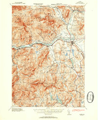 1953 Bethel1953 Print · USGSThe Androscoggin River valley is captured here in the early 1950s, showing the agricultural and mountain landscape of Oxford County. Local historians can trace old community hubs like Bethel, Gilead, and Hanover, along with numerous rural schoolhouses such as Chapman Sch and Peabody Sch.2 unique versions available
 - 1956 Map of Lewiston, 1975 Print
 1956 Lewiston1975 Print · USGSThe Northern New England interior is documented here in the mid-fifties, from the industrial Androscoggin River to the high peaks of the White Mountains. Trace the Grand Trunk Railway through mountain passes or locate family landmarks near Sabbathday Lake and Bretton Woods.
 - 1961 Map of Lewiston
 1961 Lewiston1961 Print · USGSWestern Maine and the White Mountains appear here during the early sixties, showing the industrial river towns and vast timberlands before the modern interstate era. Genealogists and historians can trace the Grand Trunk RR through Berlin or locate landmarks like Old Speck Mountain and Elephant Mountain.
 - 1962 Map of Lewiston
 1962 Lewiston1962 Print · USGSThe industrial river valleys and high peaks of Maine and New Hampshire define the region in the early sixties. Trace the rail-and-river network from Lewiston to the White Mountains, passing through mill towns like Berlin and Rumford.
 - 1969 Map of Lewiston
 1969 Lewiston1969 Print · USGSThe northern New England highlands come into focus during the mid-fifties, showing the vital rail and river networks connecting industrial centers to the deep woods. Researchers can trace the path of the Grand Trunk RR or locate landmarks like Mt Washington and Rangeley Lake.
 - 1970 Map of Bethel, 1972 Print
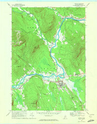 1970 Bethel1972 Print · USGSBethel and the surrounding Oxford County highlands are captured here during the 1970s as the rail and river economy shaped the valley. Genealogists and historians can trace family plots at Skillingston Cem, locate the historic Gould Academy, or follow the path of the Grand Trunk railroad through West Bethel.2 unique versions available
 - 1986 Map of Lewiston
 1986 Lewiston1986 Print · USGSMaine’s industrial river valleys and western mountain foothills are captured here in the mid-eighties as rail and road networks tied the region together. Genealogists and historians can trace the development of mill towns and lakefront settlements from Lisbon to Bethel, following the Androscoggin River and the path of the Maine Central Railroad.2 unique versions available
 - 1995 Map of Bethel, 2000 Print
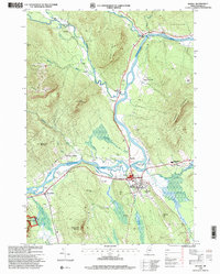 1995 Bethel2000 Print · USGSThe Oxford Hills come into focus in the mid-nineties as the Androscoggin River valley balances its agricultural roots with a growing recreation economy. Genealogists and local historians can trace family sites at Sunday River Cemetery or locate landmarks like Gould Academy and the historic Covered Bridge.
 - 2012 Map of Bethel, 2012 Print
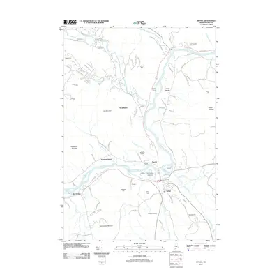 2012 Bethel2012 Print · USGSThe Androscoggin River valley in western Maine is shown here at the start of the 2010s. Local researchers can trace family sites at Woodland Cemetery or Riverside Cemetery, and locate regional landmarks like the Sunday River Bridge.
 - 2014 Map of Bethel, 2014 Print
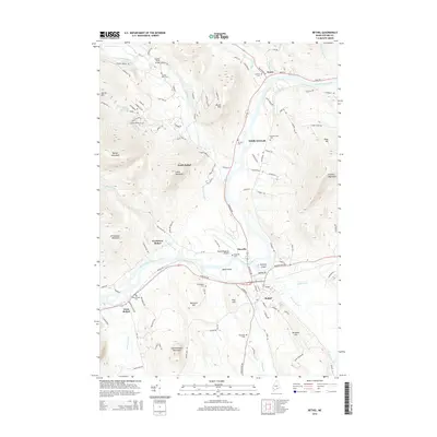 2014 Bethel2014 Print · USGSOxford County mountain and river landscapes are captured here in the mid-2010s, centered on the historic village of Bethel. Researchers can trace local landmarks like Woodland Cem, Sunday River Bridge, and the riverfront at Mayville.
 - 2018 Map of Bethel, 2018 Print
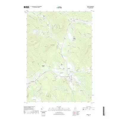 2018 Bethel2018 Print · USGSThe upper Androscoggin River valley in the late 2010s reveals a landscape of high peaks and river-bottom settlements. Researchers can locate many local burial sites, including Sunday River Cem and Middle Intervale Cem, or trace the winding Sunday River past Barker Mtn.
 - 2021 Map of Bethel, 2021 Print
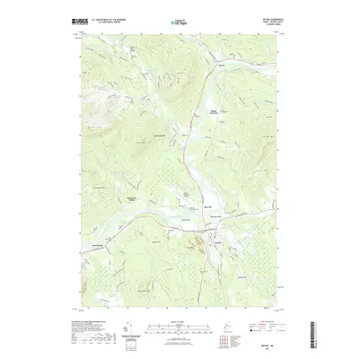 2021 Bethel2021 Print · USGSThe mountain valleys of Oxford County appear in detail during this modern survey, showing the enduring settlement patterns along the Androscoggin River. Researchers can locate several historic burial sites like Grafton Cem and Skillingston Cem and trace the reaches of Sunday River.
 - 2024 Map of Bethel, 2024 Print
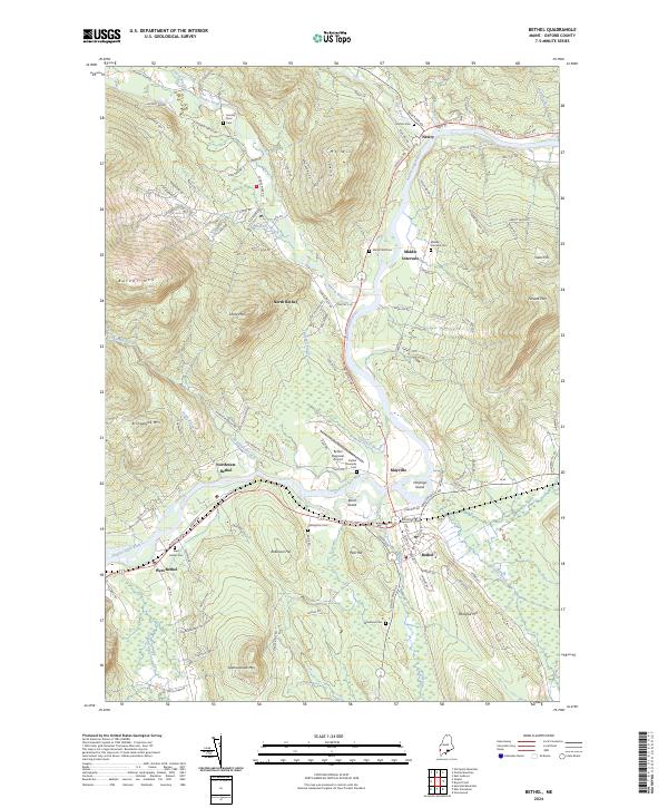 2024 Bethel2024 Print · USGSOxford County mountain communities and the winding Androscoggin River are documented in this contemporary survey. Researchers can trace ancestral sites at Grafton Cem and Skillingston Cem or locate the historic St Lawrence & Atlantic RR line.
End of results
Showing maps 1-17 of 17
Frequently asked questions
- What are the different types of historical maps available for Middle Intervale?
- What is the oldest map of Middle Intervale?
- Where can I purchase historical maps of Middle Intervale for my home or office?
- Where can I download high-res historical maps of Middle Intervale?
- Are there historical topographic maps available for Middle Intervale?
- Is there historical aerial imagery available for Middle Intervale?
- Where are historical maps of Middle Intervale sourced from?