Old Maps of Gantners Landing, Herseytown Township for Academic Research
Study the evolution of Gantners Landing with 13 high-resolution historic maps. Whether you're teaching, researching, or modeling changes in land use, these maps provide essential visual documentation of urban, environmental, and geographic change.
- Analyze long-term change: Track patterns in development, transportation, and natural features.
- Ideal for environmental or urban studies: Support academic projects with primary historical map data.
- Use in the classroom or lab: Educators and researchers rely on these maps to bring historical context to life.
These maps are a powerful tool for teaching, research, and visualizing how Gantners Landing has changed over the decades.
Gantners Landing, Herseytown Township maps
(13)- 1940 Map of Sherman, 1959 Print
 1940 Sherman1959 Print · USGSNorthern Maine's timber and rail landscape is captured here just before the mid-century, centered on the Bangor and Aroostook line. Genealogists can trace early homesteads near Sherman Mills, Golden Ridge, and the Stacyville Post Office.2 unique versions available
 - 1942 Map of Sherman
 1942 Sherman1942 Print · USGSSouthern Aroostook County is captured here just before the mid-century, showcasing the railroad-dependent communities of Sherman and Patten. Genealogists can locate family sites near the Sherman Mills Cem, Doble Sch, or the now-quiet rail stops at Sherman Station.
 - 1954 Map of Millinocket, 1968 Print
 1954 Millinocket1968 Print · USGSMaine's North Woods and the Penobscot Valley are captured here during the mid-century era of logging and rail dominance. You can trace the path of the Bangor and Aroostook Railroad through timber towns like Millinocket, Mattawamkeag, and Silver Ridge.3 unique versions available
 - 1958 Map of Millinocket
 1958 Millinocket1958 Print · USGSMaine's North Woods and the Penobscot river valley are captured here in the mid-1950s, showing a landscape of timber, rail, and wild waters. Researchers can trace the legacy of the Canadian Pacific railroad and find historic settlements like Millinocket, Sherman Station, and Mattawamkeag.
 - 1960 Map of Millinocket
 1960 Millinocket1960 Print · USGSThe Maine North Woods and Penobscot River valley are captured at mid-century during the height of the paper milling era. Researchers can trace the Appalachian Trail near Mount Katardin or locate family roots in towns like Dover-Foxcroft and Milo.3 unique versions available
 - 1975 Map of Sherman SW, 1980 Print
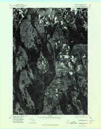 1975 Sherman SW1980 Print · USGSSouthern Penobscot County is shown in the mid-1970s, revealing the traditional layout of Maine's timber and farming communities. Genealogists can trace the rural crossroads and property boundaries near Benedicta, Sherman Mills, and Plunkett Pond.
 - 1985 Map of Millinocket, 1986 Print
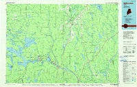 1985 Millinocket1986 Print · USGSThe North Maine Woods were a landscape of industrial timber and wilderness recreation in the mid-eighties. Genealogists and researchers can trace local settlements and rail stops like Sherman Mills, Wytopitlock, and the Old Long A Siding near the Penobscot River.2 unique versions available
 - 1989 Map of Benedicta
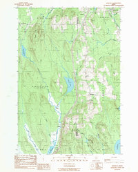 1989 Benedicta1989 Print · USGSThe borderlands of Penobscot and Aroostook counties come into focus in the late 1980s as Interstate 95 cuts through the Maine wilderness. Researchers can trace historic river landings like High Landing and Gantners Landing or locate family landmarks such as Mc Avoy Pond.
 - 2011 Map of Benedicta, 2011 Print
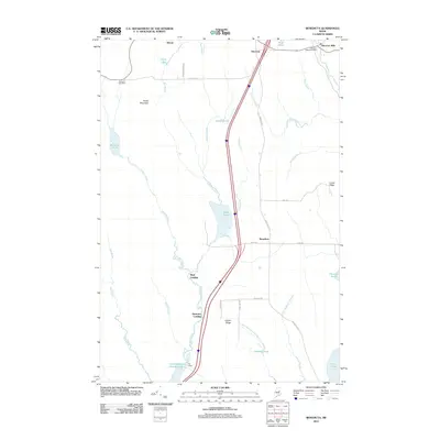 2011 Benedicta2011 Print · USGSSouthern Aroostook County is shown here in the early twenty-first century, capturing a region defined by its timber heritage and isolated settlements. Researchers can trace local history through Sherman Mills, the community of Benedicta, and family landmarks like Lawler Ridge.
 - 2014 Map of Benedicta, 2014 Print
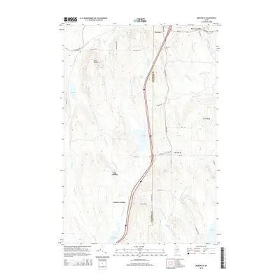 2014 Benedicta2014 Print · USGSIn the forests of northern Maine during the early twenty-first century, the border between Penobscot and Aroostook counties runs through a land of ridges and deep bogs. Local historians can trace family roots at Sherman Cemetery or locate old water-access points like Gantners Landing and High Landing.
 - 2018 Map of Benedicta, 2018 Print
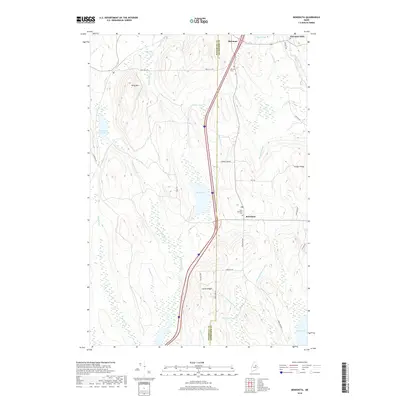 2018 Benedicta2018 Print · USGSThe Aroostook and Penobscot county line meets near Benedicta in the late 2010s, showing a landscape defined by ridges and complex bogs. Researchers can trace local heritage at Saint Benedict Cem or follow the paths of Salmon Stream and Molunkus Stream.
 - 2021 Map of Benedicta, 2021 Print
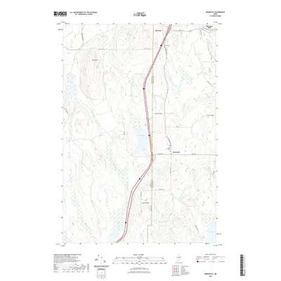 2021 Benedicta2021 Print · USGSThe borderlands of Aroostook and Penobscot Counties come into focus here during the early twenty-first century. Genealogists and local historians can trace family ties at Saint Benedict Cem and explore the historic crossroads of Sherman Mills and Benedicta.
 - 2024 Map of Benedicta, 2024 Print
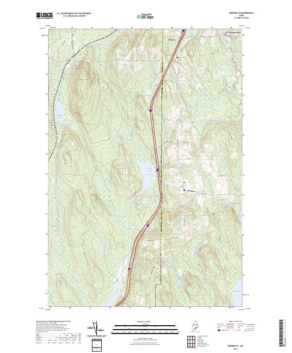 2024 Benedicta2024 Print · USGSSouthern Aroostook and northern Penobscot counties meet in this 2024 landscape of ridgelines and waterways. Researchers can trace local heritage through Saint Benedict Cemetery, follow the path of Molunkus Stream, and locate homesteads near Sherman Mills.
End of results
Showing maps 1-13 of 13
Top cities near Gantners Landing
- Millinocket historical maps
- East Millinocket historical maps
- Medway historical maps
- Patten historical maps
- Sherman historical maps
- Island Falls historical maps
See more
Frequently asked questions
- What are the different types of historical maps available for Gantners Landing?
- What is the oldest map of Gantners Landing?
- Where can I purchase historical maps of Gantners Landing for my home or office?
- Where can I download high-res historical maps of Gantners Landing?
- Are there historical topographic maps available for Gantners Landing?
- Is there historical aerial imagery available for Gantners Landing?
- Where are historical maps of Gantners Landing sourced from?