Old Maps of Across the Tracks, Millinocket for Genealogy
Trace your family roots with 11 historic maps of Across the Tracks. These high-res maps reveal old neighborhoods, homesites, landmarks, and streets — helping you uncover where your ancestors lived and how the area evolved over time.
- Explore historic neighborhoods: Identify where your relatives may have lived in the 1800s or 1900s.
- Compare maps over time: Trace the changes in streets, buildings, and landmarks for multi-generational research.
- Perfect for genealogy & ancestry research: Used by family historians and researchers to map out lineage and migration.
These maps are an incredible resource for exploring your personal connection to Across the Tracks's past.
Across the Tracks, Millinocket maps
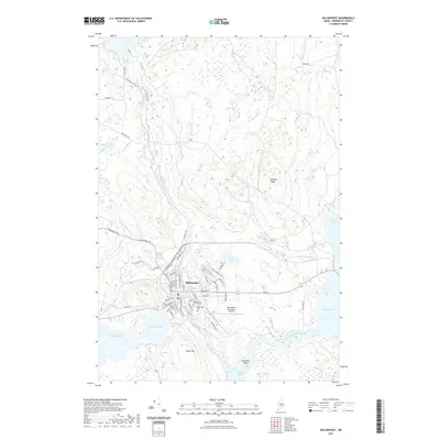
(11)- 1951 Map of Millinocket, 1953 Print
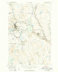 1951 Millinocket1953 Print · USGSThe river-driven industrial landscape of northern Maine comes into focus in the early fifties, where the Penobscot forks meet at Medway. Genealogists and historians can trace the Bangor and Aroostook rail line and locate Bethel Ch or the Lynch Cem.4 unique versions available
 - 1954 Map of Millinocket, 1968 Print
 1954 Millinocket1968 Print · USGSMaine's North Woods and the Penobscot Valley are captured here during the mid-century era of logging and rail dominance. You can trace the path of the Bangor and Aroostook Railroad through timber towns like Millinocket, Mattawamkeag, and Silver Ridge.3 unique versions available
 - 1958 Map of Millinocket
 1958 Millinocket1958 Print · USGSMaine's North Woods and the Penobscot river valley are captured here in the mid-1950s, showing a landscape of timber, rail, and wild waters. Researchers can trace the legacy of the Canadian Pacific railroad and find historic settlements like Millinocket, Sherman Station, and Mattawamkeag.
 - 1960 Map of Millinocket
 1960 Millinocket1960 Print · USGSThe Maine North Woods and Penobscot River valley are captured at mid-century during the height of the paper milling era. Researchers can trace the Appalachian Trail near Mount Katardin or locate family roots in towns like Dover-Foxcroft and Milo.3 unique versions available
 - 1985 Map of Millinocket, 1986 Print
 1985 Millinocket1986 Print · USGSThe North Maine Woods were a landscape of industrial timber and wilderness recreation in the mid-eighties. Genealogists and researchers can trace local settlements and rail stops like Sherman Mills, Wytopitlock, and the Old Long A Siding near the Penobscot River.2 unique versions available
 - 1988 Map of Millinocket
 1988 Millinocket1988 Print · USGSMillinocket and its surrounding townships are shown here in the late eighties, dominated by the heavy industry and river networks of Penobscot County. Genealogists and local historians can trace the streets of Little Italy, locate the Cem, and explore the river infrastructure near Quakish Dam.
 - 2011 Map of Millinocket, 2011 Print
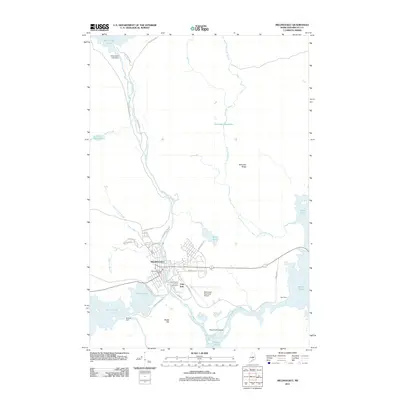 2011 Millinocket2011 Print · USGSCovers Across the Tracks, including Millinocket, T3 Indian Purchase Township, and other nearby areas
 - 2014 Map of Millinocket, 2014 Print
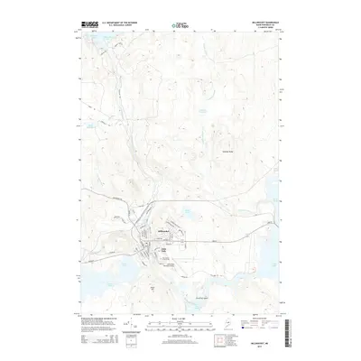 2014 Millinocket2014 Print · USGSCovers Across the Tracks, including Millinocket, T3 Indian Purchase Township, and other nearby areas
 - 2018 Map of Millinocket, 2018 Print
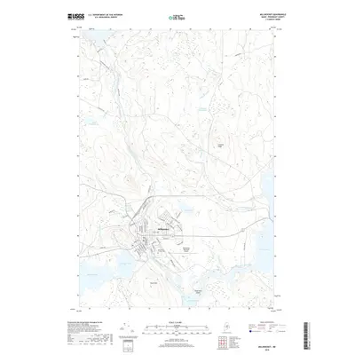 2018 Millinocket2018 Print · USGSCovers Across the Tracks, including Millinocket, T3 Indian Purchase Township, and other nearby areas
 - 2021 Map of Millinocket, 2021 Print
 2021 Millinocket2021 Print · USGSCovers Across the Tracks, including Millinocket, T3 Indian Purchase Township, and other nearby areas
 - 2024 Map of Millinocket, 2024 Print
 2024 Millinocket2024 Print · USGSThe North Woods community of Millinocket is captured here in detail, showcasing its transition from a structured town grid to the surrounding timberlands. Researchers can trace the town's civic heart at Maine District Court Millinocket and locate the Millinocket Cem near the banks of Millinocket Stream.
End of results
Showing maps 1-11 of 11
Frequently asked questions
- What are the different types of historical maps available for Across the Tracks?
- What is the oldest map of Across the Tracks?
- Where can I purchase historical maps of Across the Tracks for my home or office?
- Where can I download high-res historical maps of Across the Tracks?
- Are there historical topographic maps available for Across the Tracks?
- Is there historical aerial imagery available for Across the Tracks?
- Where are historical maps of Across the Tracks sourced from?