2000s (21st Century) Maps of T7 R7 WELS, Maine
Explore 20 historic maps of T7 R7 WELS from the 2000s (21st Century). These maps offer a rare glimpse into what life looked like during the 2000s — showing old roads, neighborhoods, homes, and landmarks that have changed or disappeared over time.
Whether you're researching your family's past, planning a metal detecting trip, or studying how T7 R7 WELS's landscape evolved across the 2000s, these high-resolution maps are a powerful tool for exploring the history of this region.
- Focus on a specific era: All maps on this page are from the 2000s, giving you a focused view of this time period.
- See what’s changed: Compare century-old streets, trails, and buildings to today's modern landscape using overlays and satellite layers.
- Research with precision: Use these maps for genealogy, historical research, land use analysis, or educational projects.
- View, download, or print: Maps are fully viewable online in high resolution, and can be downloaded or printed for your own records.
Start exploring T7 R7 WELS's history through authentic maps from the 2000s. This is your window into the past.
T7 R7 WELS, ME maps
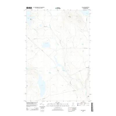
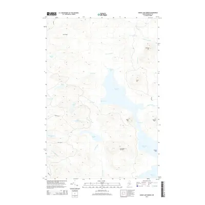
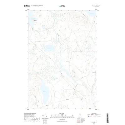
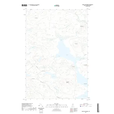
(20)- 2011 Map of Grand Lake Seboeis, 2011 Print
 2011 Grand Lake Seboeis2011 Print · USGSCovers T7 R7 WELS, including T8 R8 WELS, T8 R7 WELS, and other nearby areas
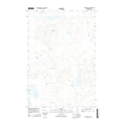
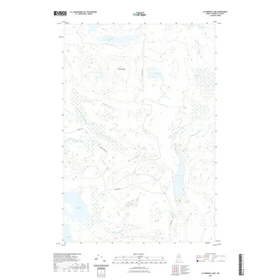
 - 2011 Map of La Pomkeag Lake, 2011 Print
 2011 La Pomkeag Lake2011 Print · USGSCovers T7 R7 WELS, including T8 R7 WELS, T7 R6 WELS, and other nearby areas
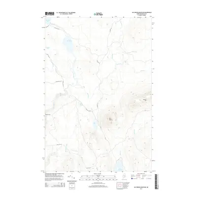
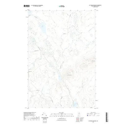
 - 2011 Map of Hay Brook Mountain, 2011 Print
 2011 Hay Brook Mountain2011 Print · USGSCovers T7 R7 WELS, including Mount Chase, Lower Shin Pond, and other nearby areas
 - 2011 Map of Hay Lake, 2011 Print
 2011 Hay Lake2011 Print · USGSCovers T7 R7 WELS, including T6 R8 WELS, T5 R8 WELS, and other nearby areas
 - 2014 Map of Hay Lake, 2014 Print
 2014 Hay Lake2014 Print · USGSCovers T7 R7 WELS, including T6 R8 WELS, T5 R8 WELS, and other nearby areas
 - 2014 Map of La Pomkeag Lake, 2014 Print
 2014 La Pomkeag Lake2014 Print · USGSCovers T7 R7 WELS, including T8 R7 WELS, T7 R6 WELS, and other nearby areas
 - 2014 Map of Grand Lake Seboeis, 2014 Print
 2014 Grand Lake Seboeis2014 Print · USGSCovers T7 R7 WELS, including T8 R8 WELS, T8 R7 WELS, and other nearby areas
 - 2014 Map of Hay Brook Mountain, 2014 Print
 2014 Hay Brook Mountain2014 Print · USGSCovers T7 R7 WELS, including Mount Chase, Lower Shin Pond, and other nearby areas
 - 2018 Map of Grand Lake Seboeis, 2018 Print
 2018 Grand Lake Seboeis2018 Print · USGSCovers T7 R7 WELS, including T8 R8 WELS, T8 R7 WELS, and other nearby areas
 - 2018 Map of Hay Brook Mountain, 2018 Print
 2018 Hay Brook Mountain2018 Print · USGSCovers T7 R7 WELS, including Mount Chase, Lower Shin Pond, and other nearby areas
 - 2018 Map of Hay Lake, 2018 Print
 2018 Hay Lake2018 Print · USGSCovers T7 R7 WELS, including T6 R8 WELS, T5 R8 WELS, and other nearby areas
 - 2018 Map of La Pomkeag Lake, 2018 Print
 2018 La Pomkeag Lake2018 Print · USGSCovers T7 R7 WELS, including T8 R7 WELS, T7 R6 WELS, and other nearby areas
 - 2021 Map of Hay Lake, 2021 Print
 2021 Hay Lake2021 Print · USGSCovers T7 R7 WELS, including T6 R8 WELS, T5 R8 WELS, and other nearby areas
 - 2021 Map of La Pomkeag Lake, 2021 Print
 2021 La Pomkeag Lake2021 Print · USGSCovers T7 R7 WELS, including T8 R7 WELS, T7 R6 WELS, and other nearby areas
 - 2021 Map of Grand Lake Seboeis, 2021 Print
 2021 Grand Lake Seboeis2021 Print · USGSCovers T7 R7 WELS, including T8 R8 WELS, T8 R7 WELS, and other nearby areas
 - 2021 Map of Hay Brook Mountain, 2021 Print
 2021 Hay Brook Mountain2021 Print · USGSCovers T7 R7 WELS, including Mount Chase, Lower Shin Pond, and other nearby areas
 - 2024 Map of Grand Lake Seboeis, 2024 Print
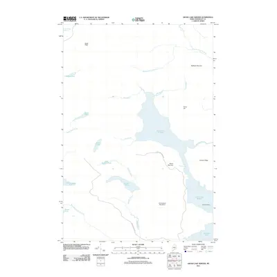
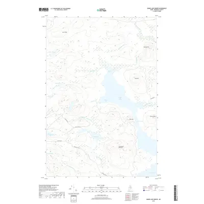
 2024 Grand Lake Seboeis2024 Print · USGSPenobscot County’s deep woods and glacial waters are meticulously detailed in this recent survey of the Seboeis wilderness. Modern researchers can trace remote access routes like Sawtelle Pond Rd to landmarks such as Spoon Mtn and Snowshoe Lake.
 - 2024 Map of Hay Lake, 2024 Print
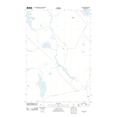
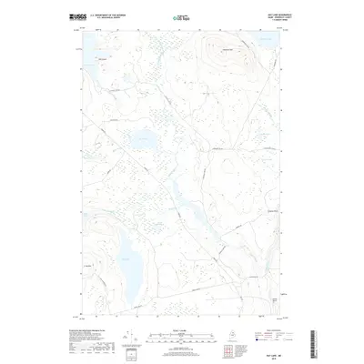
 2024 Hay Lake2024 Print · USGSPenobscot County’s deep woods appear in high detail during this contemporary era of forest management and recreation. Modern researchers can trace the course of the Seboeis River through the falls at Grand Pitch or locate landings near Hay Lake and Snowshoe Mtn.
 - 2024 Map of Hay Brook Mountain, 2024 Print
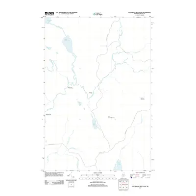
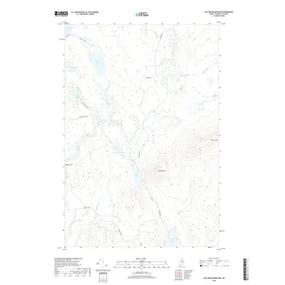
 2024 Hay Brook Mountain2024 Print · USGSPenobscot County’s deep woods and waterways are charted here in the early twenty-first century. Researchers can trace historic river landings and logging routes including Matagamon Tote Rd, Godfrey Pitch, and Tiger Rips.
 - 2024 Map of La Pomkeag Lake, 2024 Print
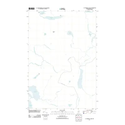
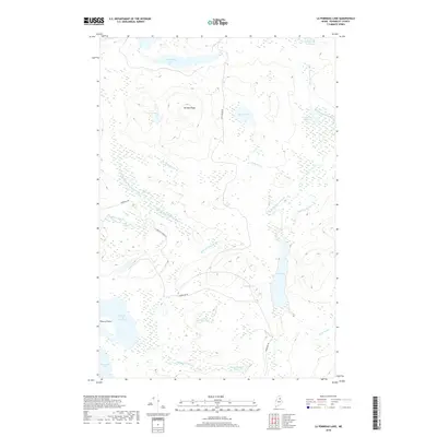
 2024 La Pomkeag Lake2024 Print · USGSPenobscot County's interior wilderness is defined by its expansive watershed and timber ridges in this recent survey. Researchers can trace the intricate connections between LaPomkeag Lake, Grand Lake Seboeis, and the remote McLean Ridge.
End of results
Showing maps 1-20 of 20
Top cities near T7 R7 WELS
- Patten historical maps
- Crystal historical maps
- Masardis historical maps
- Mount Chase historical maps
- Hersey historical maps
- Oxbow historical maps
See more
Frequently asked questions
- What are the different types of historical maps available for T7 R7 WELS?
- What is the oldest map of T7 R7 WELS?
- Where can I purchase historical maps of T7 R7 WELS for my home or office?
- Where can I download high-res historical maps of T7 R7 WELS?
- Are there historical topographic maps available for T7 R7 WELS?
- Is there historical aerial imagery available for T7 R7 WELS?
- Where are historical maps of T7 R7 WELS sourced from?