2020s Maps of Bigelow Township, Maine
Explore 4 historic maps of Bigelow Township from the 2020s. These maps offer a rare glimpse into what life looked like during the 2020s — showing old roads, neighborhoods, homes, and landmarks that have changed or disappeared over time.
Whether you're researching your family's past, planning a metal detecting trip, or studying how Bigelow Township's landscape evolved across the 2020s, these high-resolution maps are a powerful tool for exploring the history of this region.
- Focus on a specific era: All maps on this page are from the 2020s, giving you a focused view of this time period.
- See what’s changed: Compare century-old streets, trails, and buildings to today's modern landscape using overlays and satellite layers.
- Research with precision: Use these maps for genealogy, historical research, land use analysis, or educational projects.
- View, download, or print: Maps are fully viewable online in high resolution, and can be downloaded or printed for your own records.
Start exploring Bigelow Township's history through authentic maps from the 2020s. This is your window into the past.
Bigelow Township, ME maps
(4)- 2021 Map of Stratton, 2021 Print
 2021 Stratton2021 Print · USGSCovers Bigelow Township, including Eustis, Coplin Plantation, and other nearby areas
 - 2021 Map of The Horns, 2021 Print
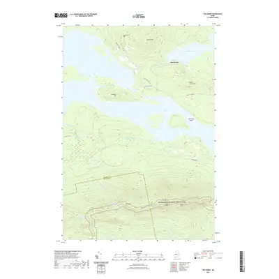 2021 The Horns2021 Print · USGSCovers Bigelow Township, including Wyman Township, Dead River Township, and other nearby areas
 - 2024 Map of Stratton, 2024 Print
 2024 Stratton2024 Print · USGSStratton and Eustis sit at the crossroads of the Dead River wilderness in this contemporary survey of Franklin County. Researchers can trace the path of The Arnold Trail, locate family sites at Flagstaff Cem, and explore the shoreline of Flagstaff Lake.
 - 2024 Map of The Horns, 2024 Print
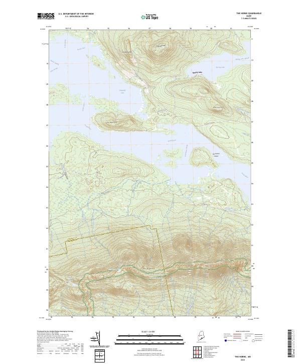 2024 The Horns2024 Print · USGSThe high Bigelow Range and the expansive waters of the Dead River valley define this Somerset County landscape in the early twenty-first century. Hikers and historians can trace the Appalachian National Scenic Trail past The Horns Pond and over the summit of Mt Bigelow.
End of results
Showing maps 1-4 of 4
Top cities near Bigelow Township
- Kingfield historical maps
- New Portland historical maps
- Carrabassett Valley historical maps
- Eustis historical maps
- Dallas Plantation historical maps
- Madrid Township historical maps
See more
Frequently asked questions
- What are the different types of historical maps available for Bigelow Township?
- What is the oldest map of Bigelow Township?
- Where can I purchase historical maps of Bigelow Township for my home or office?
- Where can I download high-res historical maps of Bigelow Township?
- Are there historical topographic maps available for Bigelow Township?
- Is there historical aerial imagery available for Bigelow Township?
- Where are historical maps of Bigelow Township sourced from?