Old Maps of Detroit, Maine
Explore 25 old maps of Detroit, spanning from 1926 to today. These high-resolution historic maps reveal how streets, neighborhoods, landmarks, and natural features evolved over time — perfect for genealogy, metal detecting, research, and local history exploration.
What you can do with these maps:
- See how Detroit changed over time: Compare historical maps to modern-day views to trace roads, homesites, rail lines & more.
- View detailed metadata: Each map includes creators, publishers, year, scale, and archive source.
- Overlay maps with satellite & LiDAR: Visualize the past alongside modern tools to explore terrain & human change.
- Trusted historical sources: Maps sourced from the USGS, Library of Congress, and other archives.
- Access maps your way: View online, download high-res files, or order prints for personal or research use.
Start exploring old maps of Detroit to uncover forgotten places, hidden landmarks, and the deep history beneath your feet.
Detroit, ME maps
(25)- 1926 Map of Burnham
 1926 Burnham1926 Print · USGSWaldo and Kennebec counties in the mid-1920s are captured here as a landscape of rural schoolhouses and family-named corners centered on the Sebasticook River. Genealogists can trace family roots through landmarks like Quaker Hill Church, the Freedom Town House, and dozens of district sites like Beech Hill School.3 unique versions available
 - 1930 Map of Pittsfield
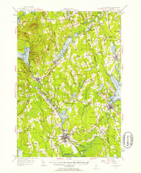
 1930 Pittsfield1930 Print · USGSSomerset County in the early thirties reveals a network of farming hamlets and lakeside communities connected by rail and river. Genealogists can trace family names through landmarks like Todds Corner West Ripley PO, Nutter Cemetery, and Town Farm Sch.
 - 1932 Map of Pittsfield
 1932 Pittsfield1932 Print · USGSMaine's Sebasticook Valley thrived in the early 1930s as a hub of rail transport and rural commerce. Genealogists and historians can trace the many family-named schoolhouses and crossroads, from Lincoln Mills and Dixie Corner to the Wing Cemetery.3 unique versions available
 - 1933 Map of Pittsfield
 1933 Pittsfield1933 Print · USGSSomerset County in the early 1930s is a landscape of river-driven towns and remote farm schools connected by the Maine Central rail lines. Genealogy researchers can trace family landmarks like Goodwin Corner, the Wing Cemetery, and over a dozen schoolhouses including Merrill Sch.2 unique versions available
 - 1948 Map of Bangor
 1948 Bangor1948 Print · USGSThe Maine coast and its industrial river valleys are captured here shortly after the war, showing the vital shipping and rail hubs of the late 1940s. Genealogists and historians can trace the tracks of the Maine Central RR connecting Bangor, Augusta, and Old Town.
 - 1955 Map of Pittsfield, 1957 Print
 1955 Pittsfield1957 Print · USGSSomerset County in the mid-fifties is a landscape of established rail towns and quiet lakeside camps. Genealogists and historians can trace family-named crossroads like Nutter Corner, visit the Fern-Dale Cem, or locate the Gale Sch and Wild Goose Club.2 unique versions available
 - 1956 Map of Bangor, 1966 Print
 1956 Bangor1966 Print · USGSMid-century Maine comes alive in this survey of the rugged coast and river valleys during the 1950s. Genealogists and historians can trace the vital rail corridors of the Maine Central RR connecting timber towns like Old Town to the coast at Bar Harbor.3 unique versions available
 - 1957 Map of Burnham, 1959 Print
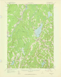 1957 Burnham1959 Print · USGSCentral Maine in the late 1950s reveals a landscape of tight-knit crossroads and small academies centered on the Unity Pond basin. Genealogists can trace family names through landmarks like Reynolds Corner, Freedom Academy, and the winding Belfast and Moosehead Lake Railroad.2 unique versions available
 - 1960 Map of Bangor
 1960 Bangor1960 Print · USGSCentral Maine in the sixties reveals a landscape of river-powered industry and sprawling coastal island chains. Researchers can trace the rail corridors of the Maine Central or locate mid-century aviation landmarks like Dow Air Force Base.
 - 1961 Map of Bangor
 1961 Bangor1961 Print · USGSMid-century Maine comes alive through its busy river ports and rocky archipelagoes during a period of steady maritime and rail commerce. Researchers can trace the path of the Maine Central railroad and locate coastal landmarks from Acadia National Park to Vinalhaven Island.
 - 1975 Map of Burnham NE, 1980 Print
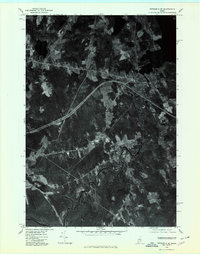
 1975 Burnham NE1980 Print · USGSWaldo County's rural landscape is captured from above in the mid-1970s, revealing the intricate patterns of forest and farmland. Researchers can trace the layout of small settlements like Greens Corner and Reynolds Corner near the shores of Unity Pond.
 - 1975 Map of Pittsfield SE, 1980 Print
 1975 Pittsfield SE1980 Print · USGSSomerset County's rural landscape is documented here during the mid-seventies, showing the precise layout of farms and forests. Researchers can trace land use patterns near Detroit and Houston Corner or follow the East Branch Sebasticook River.
 - 1982 Map of Newport, 1983 Print
 1982 Newport1983 Print · USGSThe rural landscape of Somerset and Penobscot counties is captured here in the early eighties, showing the towns of Newport and Pittsfield along the water. Genealogists can trace family locations at Dogtown, Miles Corner, and numerous rural Cem sites.2 unique versions available
 - 1982 Map of Unity Pond, 1983 Print
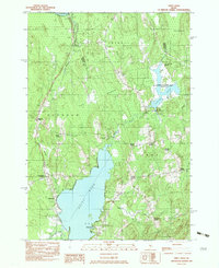 1982 Unity Pond1983 Print · USGSThe rural crossroads of Waldo and Penobscot counties are captured here in the early eighties, just as conservation efforts like the Carlton Pond Waterfowl Production Area were established. Researchers can trace numerous family-named landmarks such as Gerrish Corner, Smarts Corner, and Troy Center.2 unique versions available
 - 1985 Map of Skowhegan, 1986 Print
 1985 Skowhegan1986 Print · USGSCentral Maine in the mid-eighties shows a landscape of river-driven industry and rural crossroads. Genealogists can trace family names and farmsteads near Lake George or along the Maine Central Railroad through Pittsfield and Burnham.2 unique versions available
 - 2011 Map of Unity Pond, 2011 Print
 2011 Unity Pond2011 Print · USGSCovers Detroit, including Pittsfield, Unity, and other nearby areas
 - 2011 Map of Newport, 2011 Print
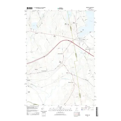
 2011 Newport2011 Print · USGSCovers Detroit, including Pittsfield, Newport, and other nearby areas
 - 2014 Map of Unity Pond, 2014 Print
 2014 Unity Pond2014 Print · USGSCovers Detroit, including Pittsfield, Unity, and other nearby areas
 - 2014 Map of Newport, 2014 Print
 2014 Newport2014 Print · USGSCovers Detroit, including Pittsfield, Newport, and other nearby areas
 - 2018 Map of Newport, 2018 Print
 2018 Newport2018 Print · USGSCovers Detroit, including Pittsfield, Newport, and other nearby areas
 - 2018 Map of Unity Pond, 2018 Print
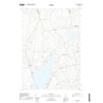 2018 Unity Pond2018 Print · USGSCovers Detroit, including Pittsfield, Unity, and other nearby areas
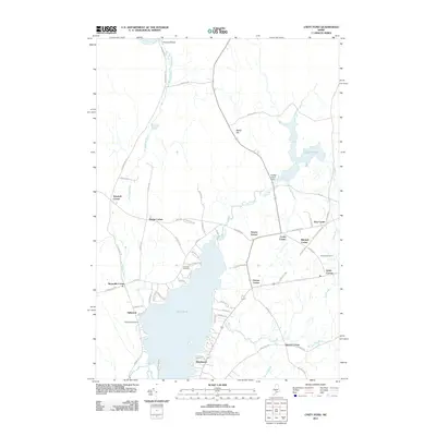
 - 2021 Map of Unity Pond, 2021 Print
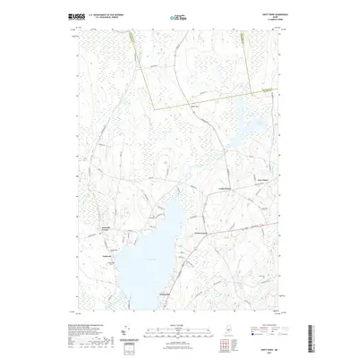 2021 Unity Pond2021 Print · USGSCovers Detroit, including Pittsfield, Unity, and other nearby areas
 - 2021 Map of Newport, 2021 Print
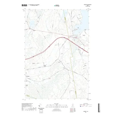 2021 Newport2021 Print · USGSCovers Detroit, including Pittsfield, Newport, and other nearby areas
 - 2024 Map of Newport, 2024 Print
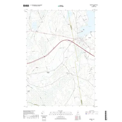
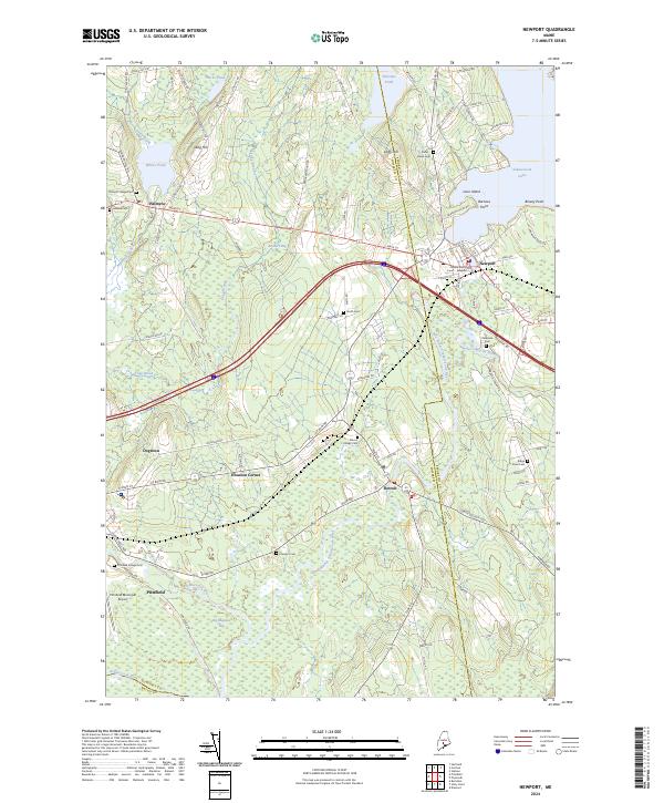 2024 Newport2024 Print · USGSThe crossroads of Newport and the shores of Sebasticook Lake are captured here at the Somerset and Penobscot county line. Genealogists and local historians can trace family plots at Riverside Cem and Detroit Village Cem or locate the quiet settlements of Houston Corner and Palmyra.
 - 2024 Map of Unity Pond, 2024 Print
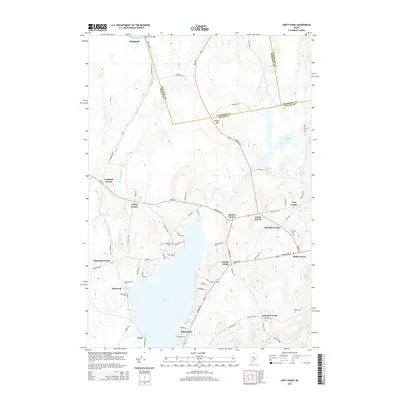
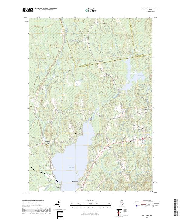 2024 Unity Pond2024 Print · USGSThe rural Maine landscape around Unity Pond is shown here as it appears today, defined by its traditional crossroads and extensive wetlands. Genealogists and local historians can locate several family burial grounds like Reynolds Cem and Fairview Cem near historic hamlets such as Troy Center.
End of results
Showing maps 1-25 of 25
Top cities near Detroit
- Winslow historical maps
- Pittsfield historical maps
- Clinton historical maps
- Newport historical maps
- Carmel historical maps
- Benton historical maps
See more
Top neighborhoods of Detroit
Frequently asked questions
- What are the different types of historical maps available for Detroit?
- What is the oldest map of Detroit?
- Where can I purchase historical maps of Detroit for my home or office?
- Where can I download high-res historical maps of Detroit?
- Are there historical topographic maps available for Detroit?
- Is there historical aerial imagery available for Detroit?
- Where are historical maps of Detroit sourced from?