2000s (21st Century) Maps of Dole Brook Township, Maine
Explore 20 historic maps of Dole Brook Township from the 2000s (21st Century). These maps offer a rare glimpse into what life looked like during the 2000s — showing old roads, neighborhoods, homes, and landmarks that have changed or disappeared over time.
Whether you're researching your family's past, planning a metal detecting trip, or studying how Dole Brook Township's landscape evolved across the 2000s, these high-resolution maps are a powerful tool for exploring the history of this region.
- Focus on a specific era: All maps on this page are from the 2000s, giving you a focused view of this time period.
- See what’s changed: Compare century-old streets, trails, and buildings to today's modern landscape using overlays and satellite layers.
- Research with precision: Use these maps for genealogy, historical research, land use analysis, or educational projects.
- View, download, or print: Maps are fully viewable online in high resolution, and can be downloaded or printed for your own records.
Start exploring Dole Brook Township's history through authentic maps from the 2000s. This is your window into the past.
Dole Brook Township, ME maps
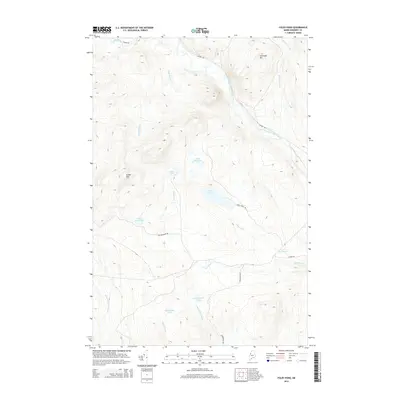
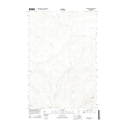
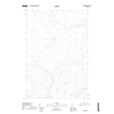
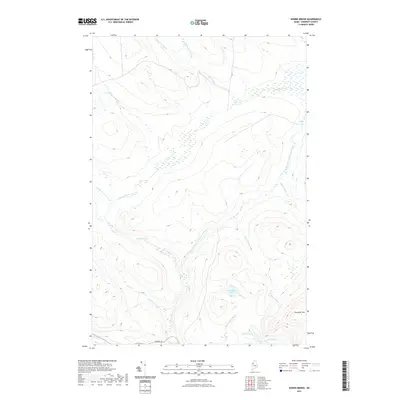
(20)- 2011 Map of Norris Brook, 2011 Print
 2011 Norris Brook2011 Print · USGSCovers Dole Brook Township, including Big Six Township, Comstock Township, and other nearby areas
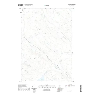
 - 2011 Map of Hurricane Hill, 2011 Print
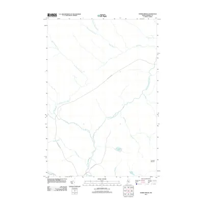
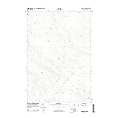
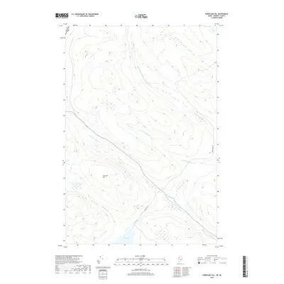
 2011 Hurricane Hill2011 Print · USGSCovers Dole Brook Township, including Saint-Zacharie, T5 R20 WELS, and other nearby areas
 - 2011 Map of Foley Pond, 2011 Print
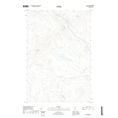
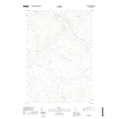
 2011 Foley Pond2011 Print · USGSCovers Dole Brook Township, including Pittston Academy Grant, Comstock Township, and other nearby areas
 - 2011 Map of Penobscot Lake, 2011 Print
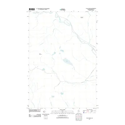
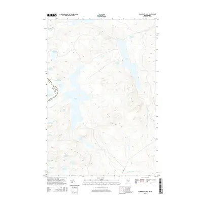
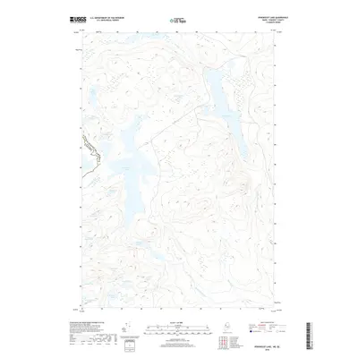
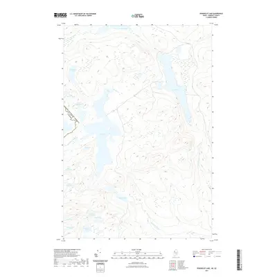
 2011 Penobscot Lake2011 Print · USGSCovers Dole Brook Township, including Saint-Théophile, T4 R5 NBKP, and other nearby areas
 - 2014 Map of Foley Pond, 2014 Print
 2014 Foley Pond2014 Print · USGSCovers Dole Brook Township, including Pittston Academy Grant, Comstock Township, and other nearby areas
 - 2014 Map of Penobscot Lake, 2014 Print
 2014 Penobscot Lake2014 Print · USGSCovers Dole Brook Township, including Saint-Théophile, T4 R5 NBKP, and other nearby areas
 - 2014 Map of Hurricane Hill, 2014 Print
 2014 Hurricane Hill2014 Print · USGSCovers Dole Brook Township, including Saint-Zacharie, T5 R20 WELS, and other nearby areas
 - 2014 Map of Norris Brook, 2014 Print
 2014 Norris Brook2014 Print · USGSCovers Dole Brook Township, including Big Six Township, Comstock Township, and other nearby areas
 - 2018 Map of Penobscot Lake, 2018 Print
 2018 Penobscot Lake2018 Print · USGSCovers Dole Brook Township, including Saint-Théophile, T4 R5 NBKP, and other nearby areas
 - 2018 Map of Foley Pond, 2018 Print
 2018 Foley Pond2018 Print · USGSCovers Dole Brook Township, including Pittston Academy Grant, Comstock Township, and other nearby areas
 - 2018 Map of Hurricane Hill, 2018 Print
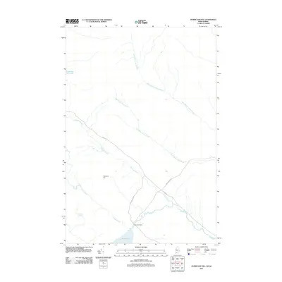
 2018 Hurricane Hill2018 Print · USGSCovers Dole Brook Township, including Saint-Zacharie, T5 R20 WELS, and other nearby areas
 - 2018 Map of Norris Brook, 2018 Print
 2018 Norris Brook2018 Print · USGSCovers Dole Brook Township, including Big Six Township, Comstock Township, and other nearby areas
 - 2021 Map of Foley Pond, 2021 Print
 2021 Foley Pond2021 Print · USGSCovers Dole Brook Township, including Pittston Academy Grant, Comstock Township, and other nearby areas
 - 2021 Map of Penobscot Lake, 2021 Print
 2021 Penobscot Lake2021 Print · USGSCovers Dole Brook Township, including Saint-Théophile, T4 R5 NBKP, and other nearby areas
 - 2021 Map of Norris Brook, 2021 Print
 2021 Norris Brook2021 Print · USGSCovers Dole Brook Township, including Big Six Township, Comstock Township, and other nearby areas
 - 2021 Map of Hurricane Hill, 2021 Print
 2021 Hurricane Hill2021 Print · USGSCovers Dole Brook Township, including Saint-Zacharie, T5 R20 WELS, and other nearby areas
 - 2024 Map of Foley Pond, 2024 Print
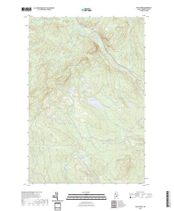 2024 Foley Pond2024 Print · USGSSomerset County's backcountry appears here in the contemporary era as a network of timber roads and pristine waterways. Researchers can trace the drainage of the North Branch Penobscot River or locate remote landmarks like Foley Pond and Comstock Mtn.
 - 2024 Map of Norris Brook, 2024 Print
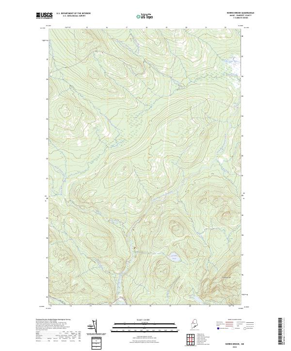 2024 Norris Brook2024 Print · USGSSomerset County’s northern timberlands are documented here in 2024, showing a landscape defined by the North Branch Penobscot River and its intricate tributaries. Researchers can trace remote logging access along Golden Rd or locate natural landmarks like Truesdale Mtn and Spencer Pond.
 - 2024 Map of Hurricane Hill, 2024 Print
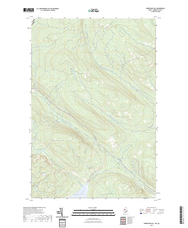 2024 Hurricane Hill2024 Print · USGSSomerset County's commercial timberlands are documented here in the early twenty-first century near the international border. Trace the legendary Golden Rd as it passes Hurricane Hill and the waters of Hurricane Brook.
 - 2024 Map of Penobscot Lake, 2024 Print
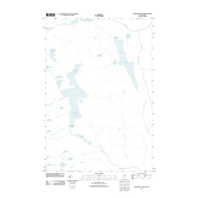
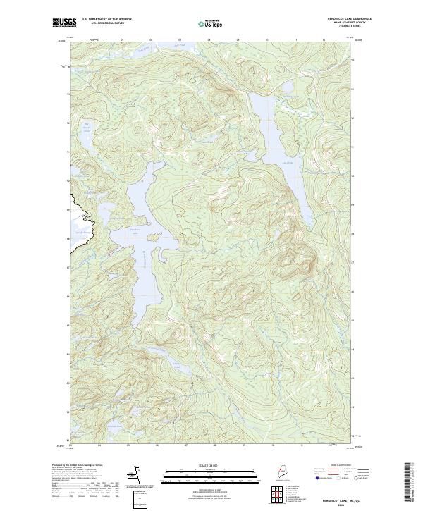 2024 Penobscot Lake2024 Print · USGSThe international border between the United States and Canada cuts through this remote Somerset County landscape in the early twenty-first century. Researchers can trace the complex headwaters of the Penobscot River system through Penobscot Lake, Lac du Portage, and Long Pond.
End of results
Showing maps 1-20 of 20
Frequently asked questions
- What are the different types of historical maps available for Dole Brook Township?
- What is the oldest map of Dole Brook Township?
- Where can I purchase historical maps of Dole Brook Township for my home or office?
- Where can I download high-res historical maps of Dole Brook Township?
- Are there historical topographic maps available for Dole Brook Township?
- Is there historical aerial imagery available for Dole Brook Township?
- Where are historical maps of Dole Brook Township sourced from?