2000s (21st Century) Maps of King & Bartlett Township, Maine
Explore 20 historic maps of King & Bartlett Township from the 2000s (21st Century). These maps offer a rare glimpse into what life looked like during the 2000s — showing old roads, neighborhoods, homes, and landmarks that have changed or disappeared over time.
Whether you're researching your family's past, planning a metal detecting trip, or studying how King & Bartlett Township's landscape evolved across the 2000s, these high-resolution maps are a powerful tool for exploring the history of this region.
- Focus on a specific era: All maps on this page are from the 2000s, giving you a focused view of this time period.
- See what’s changed: Compare century-old streets, trails, and buildings to today's modern landscape using overlays and satellite layers.
- Research with precision: Use these maps for genealogy, historical research, land use analysis, or educational projects.
- View, download, or print: Maps are fully viewable online in high resolution, and can be downloaded or printed for your own records.
Start exploring King & Bartlett Township's history through authentic maps from the 2000s. This is your window into the past.
King & Bartlett Township, ME maps
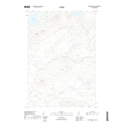
(20)- 2011 Map of King And Bartlett Mountain, 2011 Print
 2011 King And Bartlett Mountain2011 Print · USGSCovers King & Bartlett Township, including Haynestown Township, Jim Pond Township, and other nearby areas
 - 2011 Map of Spencer Lake, 2011 Print
 2011 Spencer Lake2011 Print · USGSCovers King & Bartlett Township, including T3 R5 BKP WKR, Rayton Township, and other nearby areas
 - 2011 Map of King And Bartlett Lake, 2011 Print
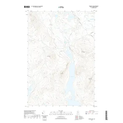
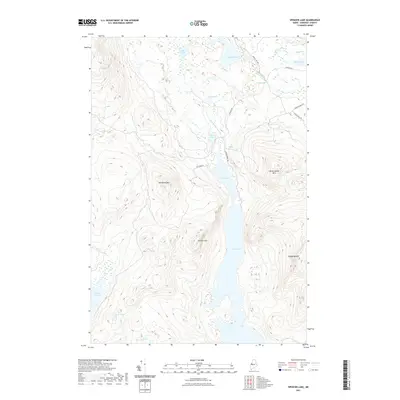
 2011 King And Bartlett Lake2011 Print · USGSCovers King & Bartlett Township, including T3 R5 BKP WKR, Spring Lake Township, and other nearby areas
 - 2011 Map of Tumbledown Mountain, 2011 Print
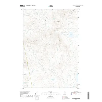
 2011 Tumbledown Mountain2011 Print · USGSCovers King & Bartlett Township, including Rayton Township, Skinner Township, and other nearby areas
 - 2014 Map of Tumbledown Mountain, 2014 Print
 2014 Tumbledown Mountain2014 Print · USGSCovers King & Bartlett Township, including Rayton Township, Skinner Township, and other nearby areas
 - 2014 Map of King And Bartlett Lake, 2014 Print
 2014 King And Bartlett Lake2014 Print · USGSCovers King & Bartlett Township, including T3 R5 BKP WKR, Spring Lake Township, and other nearby areas
 - 2014 Map of Spencer Lake, 2014 Print
 2014 Spencer Lake2014 Print · USGSCovers King & Bartlett Township, including T3 R5 BKP WKR, Rayton Township, and other nearby areas
 - 2014 Map of King And Bartlett Mountain, 2014 Print
 2014 King And Bartlett Mountain2014 Print · USGSCovers King & Bartlett Township, including Haynestown Township, Jim Pond Township, and other nearby areas
 - 2018 Map of Spencer Lake, 2018 Print
 2018 Spencer Lake2018 Print · USGSCovers King & Bartlett Township, including T3 R5 BKP WKR, Rayton Township, and other nearby areas
 - 2018 Map of King And Bartlett Lake, 2018 Print
 2018 King And Bartlett Lake2018 Print · USGSCovers King & Bartlett Township, including T3 R5 BKP WKR, Spring Lake Township, and other nearby areas
 - 2018 Map of King And Bartlett Mountain, 2018 Print
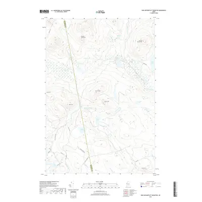 2018 King And Bartlett Mountain2018 Print · USGSCovers King & Bartlett Township, including Haynestown Township, Jim Pond Township, and other nearby areas
 - 2018 Map of Tumbledown Mountain, 2018 Print
 2018 Tumbledown Mountain2018 Print · USGSCovers King & Bartlett Township, including Rayton Township, Skinner Township, and other nearby areas
 - 2021 Map of Spencer Lake, 2021 Print
 2021 Spencer Lake2021 Print · USGSCovers King & Bartlett Township, including T3 R5 BKP WKR, Rayton Township, and other nearby areas
 - 2021 Map of King And Bartlett Lake, 2021 Print
 2021 King And Bartlett Lake2021 Print · USGSCovers King & Bartlett Township, including T3 R5 BKP WKR, Spring Lake Township, and other nearby areas
 - 2021 Map of Tumbledown Mountain, 2021 Print
 2021 Tumbledown Mountain2021 Print · USGSCovers King & Bartlett Township, including Rayton Township, Skinner Township, and other nearby areas
 - 2021 Map of King And Bartlett Mountain, 2021 Print
 2021 King And Bartlett Mountain2021 Print · USGSCovers King & Bartlett Township, including Haynestown Township, Jim Pond Township, and other nearby areas
 - 2024 Map of Tumbledown Mountain, 2024 Print
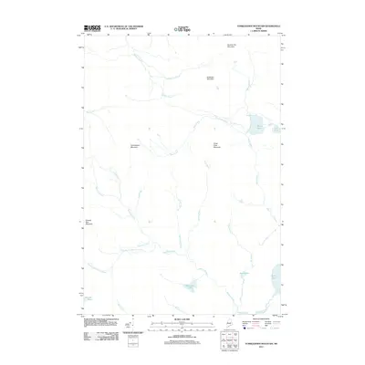
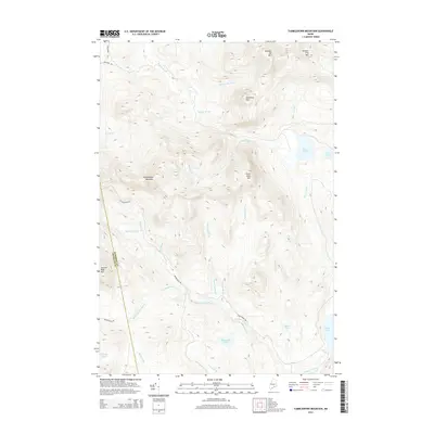
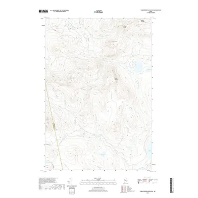
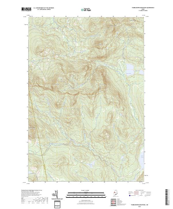 2024 Tumbledown Mountain2024 Print · USGSSomerset County, Maine, is shown here as a landscape of high peaks and cold-water streams in the twenty-first century. Researchers can trace the drainages of Spencer Stream and Baker Stream or locate remote high-country landmarks like Tumbledown Mtn and Blakeslee Lake.
 - 2024 Map of Spencer Lake, 2024 Print
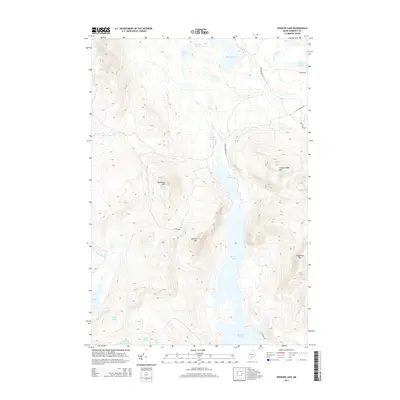
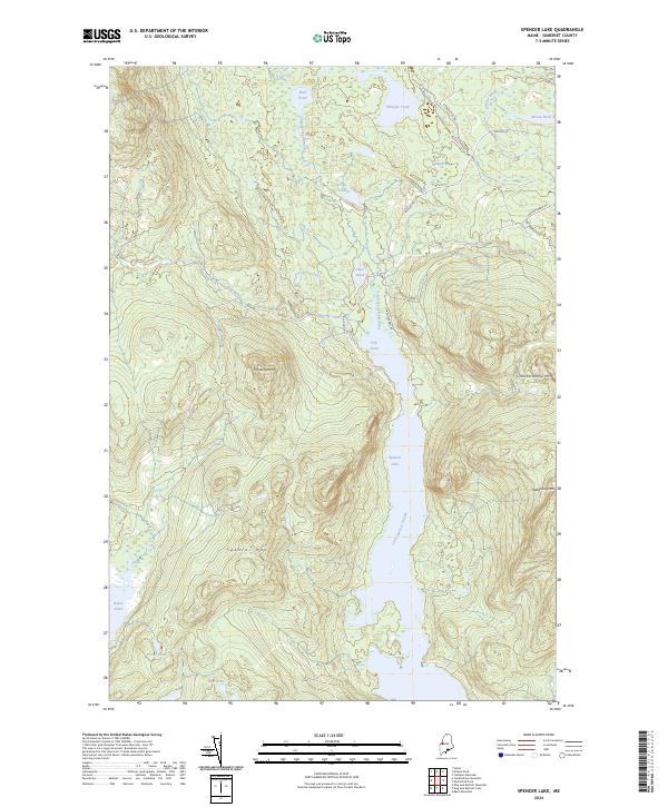 2024 Spencer Lake2024 Print · USGSSomerset County, Maine, is shown here in the 2020s, dominated by the waters of Spencer Lake and the high ridges of the North Woods. Hikers and historians can trace the paths around Spencer Mtn or follow the waters of Little Spencer Stream through Fish Pond.
 - 2024 Map of King And Bartlett Lake, 2024 Print
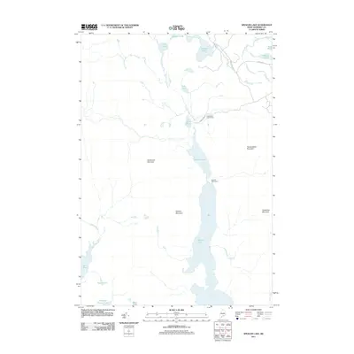
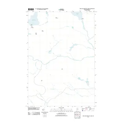
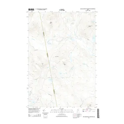
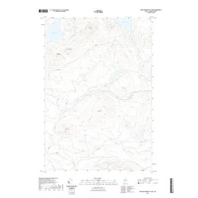
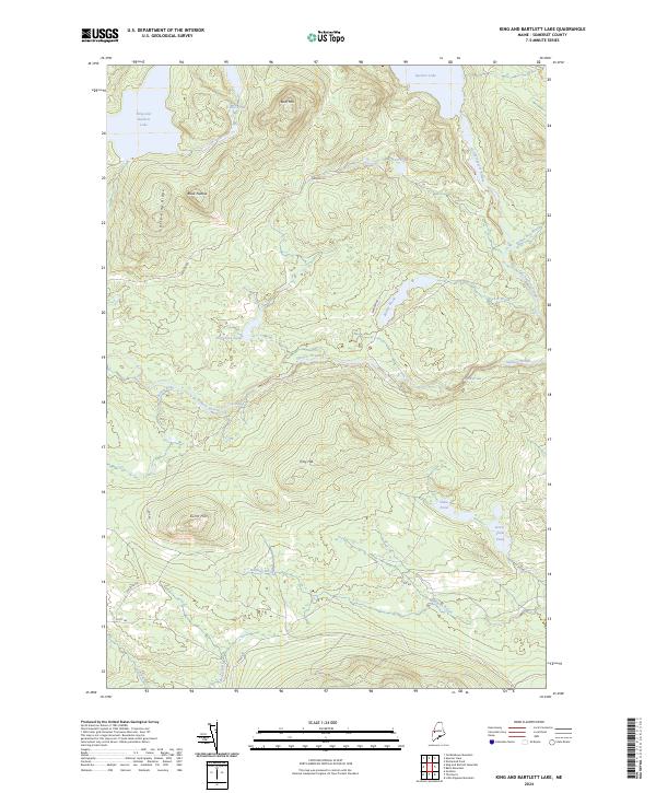 2024 King And Bartlett Lake2024 Print · USGSSomerset County's remote highlands are documented here in recent years, showing a landscape defined by timber management and wilderness waterways. Researchers can trace the paths of Little Spencer Stream and locate landmarks like Gore Rapids and Joe Pokum Bog.
 - 2024 Map of King And Bartlett Mountain, 2024 Print
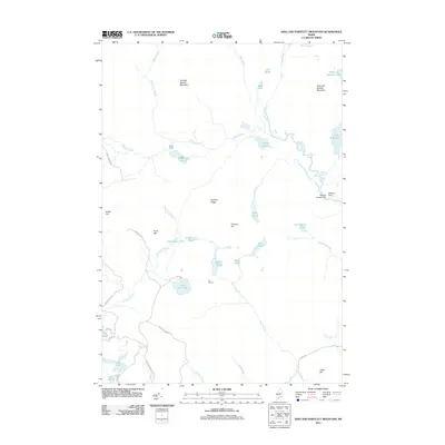
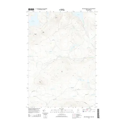
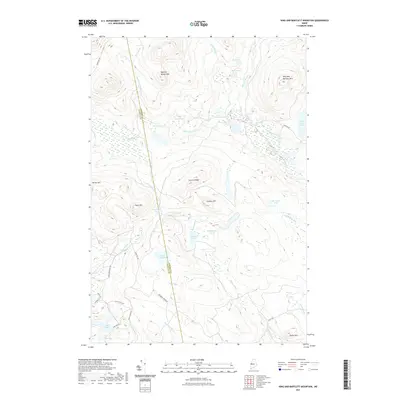
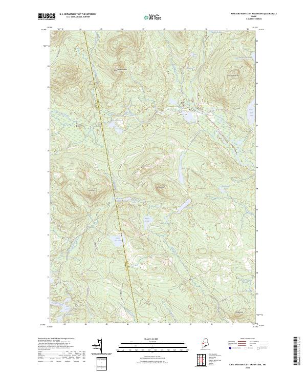 2024 King And Bartlett Mountain2024 Print · USGSThe Maine North Woods at the Somerset and Franklin county line appear here in recent detail, showing a wilderness of timber roads and glacial waters. Researchers can trace the drainages of Kibby Stream or locate remote landmarks like Joe Pokum Pond and Spotted Spruce Mtn.
End of results
Showing maps 1-20 of 20
Top cities near King & Bartlett Township
- Jackman historical maps
- Carrabassett Valley historical maps
- Eustis historical maps
- Coplin Plantation historical maps
- Wyman Township historical maps
Frequently asked questions
- What are the different types of historical maps available for King & Bartlett Township?
- What is the oldest map of King & Bartlett Township?
- Where can I purchase historical maps of King & Bartlett Township for my home or office?
- Where can I download high-res historical maps of King & Bartlett Township?
- Are there historical topographic maps available for King & Bartlett Township?
- Is there historical aerial imagery available for King & Bartlett Township?
- Where are historical maps of King & Bartlett Township sourced from?