2000s (21st Century) Maps of Misery Township, Maine
Explore 15 historic maps of Misery Township from the 2000s (21st Century). These maps offer a rare glimpse into what life looked like during the 2000s — showing old roads, neighborhoods, homes, and landmarks that have changed or disappeared over time.
Whether you're researching your family's past, planning a metal detecting trip, or studying how Misery Township's landscape evolved across the 2000s, these high-resolution maps are a powerful tool for exploring the history of this region.
- Focus on a specific era: All maps on this page are from the 2000s, giving you a focused view of this time period.
- See what’s changed: Compare century-old streets, trails, and buildings to today's modern landscape using overlays and satellite layers.
- Research with precision: Use these maps for genealogy, historical research, land use analysis, or educational projects.
- View, download, or print: Maps are fully viewable online in high resolution, and can be downloaded or printed for your own records.
Start exploring Misery Township's history through authentic maps from the 2000s. This is your window into the past.
Misery Township, ME maps
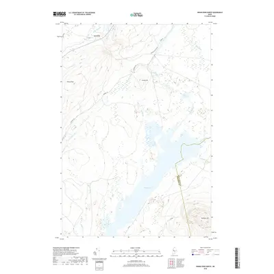
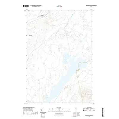
(15)- 2011 Map of Indian Pond North, 2011 Print
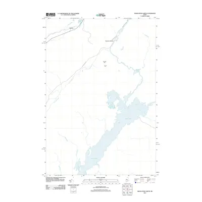 2011 Indian Pond North2011 Print · USGSCovers Misery Township, including Misery Gore, Sapling Township, and other nearby areas
 - 2011 Map of Misery Knob, 2011 Print
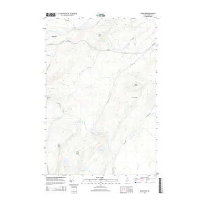
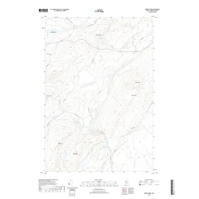
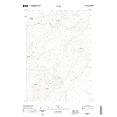
 2011 Misery Knob2011 Print · USGSCovers Misery Township, including Misery Gore, Long Pond Township, and other nearby areas
 - 2011 Map of Long Pond, 2011 Print
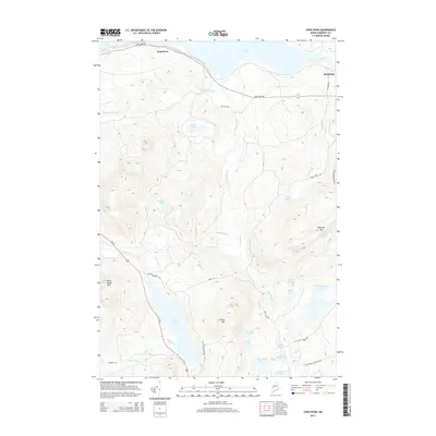
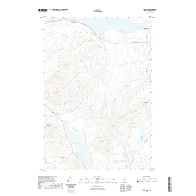
 2011 Long Pond2011 Print · USGSCovers Misery Township, including Jackman, Misery Gore, and other nearby areas
 - 2014 Map of Indian Pond North, 2014 Print
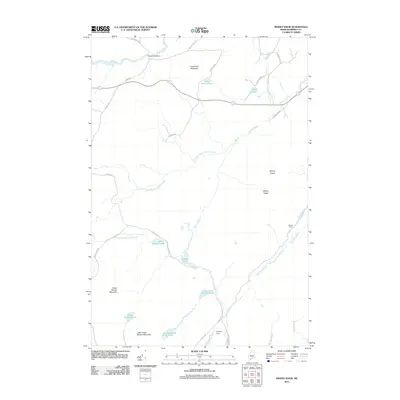
 2014 Indian Pond North2014 Print · USGSCovers Misery Township, including Misery Gore, Sapling Township, and other nearby areas
 - 2014 Map of Misery Knob, 2014 Print
 2014 Misery Knob2014 Print · USGSCovers Misery Township, including Misery Gore, Long Pond Township, and other nearby areas
 - 2014 Map of Long Pond, 2014 Print
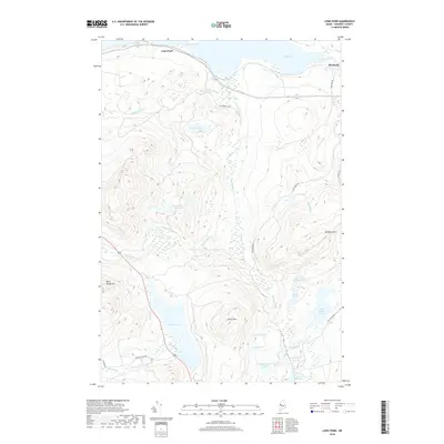
 2014 Long Pond2014 Print · USGSCovers Misery Township, including Jackman, Misery Gore, and other nearby areas
 - 2018 Map of Long Pond, 2018 Print
 2018 Long Pond2018 Print · USGSCovers Misery Township, including Jackman, Misery Gore, and other nearby areas
 - 2018 Map of Indian Pond North, 2018 Print
 2018 Indian Pond North2018 Print · USGSCovers Misery Township, including Misery Gore, Sapling Township, and other nearby areas
 - 2018 Map of Misery Knob, 2018 Print
 2018 Misery Knob2018 Print · USGSCovers Misery Township, including Misery Gore, Long Pond Township, and other nearby areas
 - 2021 Map of Long Pond, 2021 Print
 2021 Long Pond2021 Print · USGSCovers Misery Township, including Jackman, Misery Gore, and other nearby areas
 - 2021 Map of Indian Pond North, 2021 Print
 2021 Indian Pond North2021 Print · USGSCovers Misery Township, including Misery Gore, Sapling Township, and other nearby areas
 - 2021 Map of Misery Knob, 2021 Print
 2021 Misery Knob2021 Print · USGSCovers Misery Township, including Misery Gore, Long Pond Township, and other nearby areas
 - 2024 Map of Misery Knob, 2024 Print
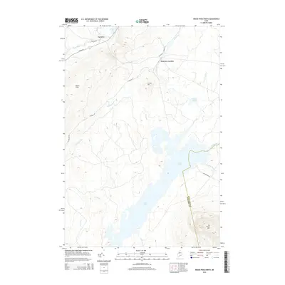
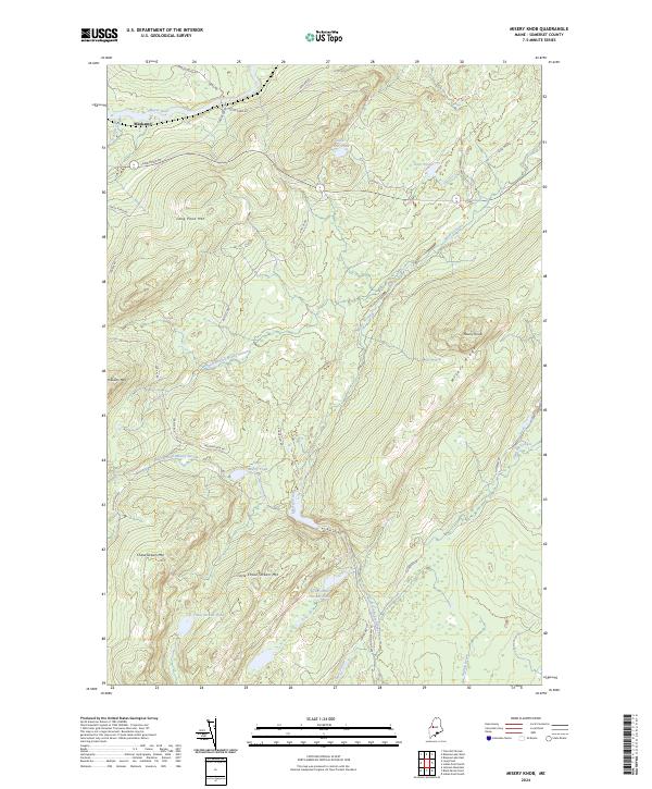 2024 Misery Knob2024 Print · USGSSomerset County's timberlands and high ridges are captured in detail during this recent survey of the Maine north woods. Researchers can trace the network of forest roads and remote waterways like Misery Stream, Mackamp, and Chase Stream Pond.
 - 2024 Map of Long Pond, 2024 Print
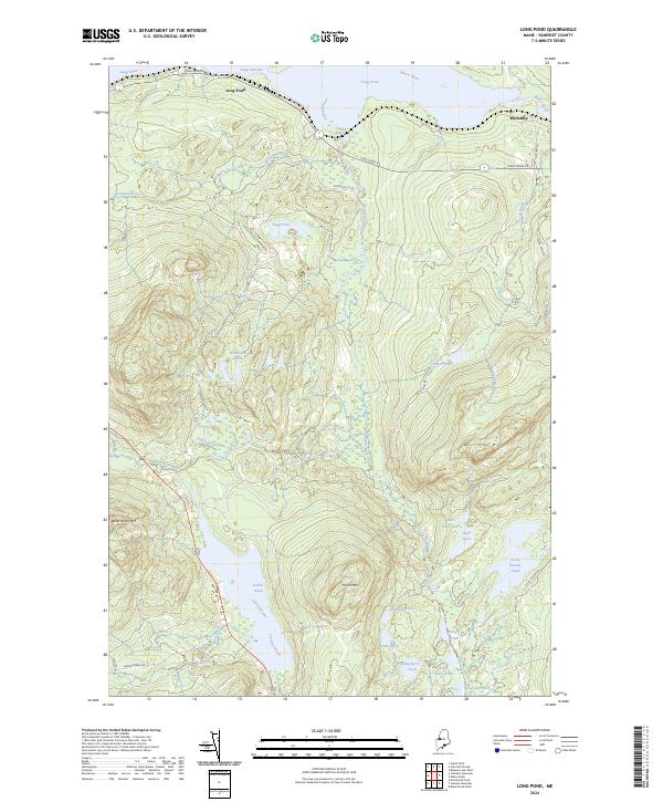 2024 Long Pond2024 Print · USGSSomerset County's north woods are captured here in the early twenty-first century, showing a landscape defined by timber heritage and high-country waters. Researchers can trace the layout of Mackamp or locate remote landmarks like Bean Brook Mtn and Parlin Pond.
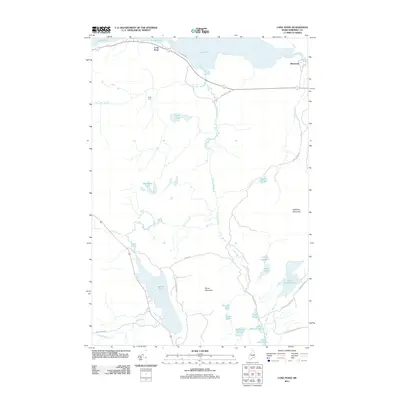
 - 2024 Map of Indian Pond North, 2024 Print
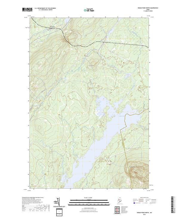 2024 Indian Pond North2024 Print · USGSThe northern reaches of Somerset County are shown in contemporary detail, where the settlement of Tarratine meets the vast waters of Indian Pond. Modern researchers can trace the routes of Somerset Rd and Its 88 through landmarks like Big Moose Mtn and Misery Ridge.
End of results
Showing maps 1-15 of 15
Top cities near Misery Township
- Jackman historical maps
- Shirley historical maps
- Moose River historical maps
- West Forks historical maps
- The Forks historical maps
Frequently asked questions
- What are the different types of historical maps available for Misery Township?
- What is the oldest map of Misery Township?
- Where can I purchase historical maps of Misery Township for my home or office?
- Where can I download high-res historical maps of Misery Township?
- Are there historical topographic maps available for Misery Township?
- Is there historical aerial imagery available for Misery Township?
- Where are historical maps of Misery Township sourced from?