2000s (21st Century) Maps of Pleasant Ridge Plantation, Maine
Explore 20 historic maps of Pleasant Ridge Plantation from the 2000s (21st Century). These maps offer a rare glimpse into what life looked like during the 2000s — showing old roads, neighborhoods, homes, and landmarks that have changed or disappeared over time.
Whether you're researching your family's past, planning a metal detecting trip, or studying how Pleasant Ridge Plantation's landscape evolved across the 2000s, these high-resolution maps are a powerful tool for exploring the history of this region.
- Focus on a specific era: All maps on this page are from the 2000s, giving you a focused view of this time period.
- See what’s changed: Compare century-old streets, trails, and buildings to today's modern landscape using overlays and satellite layers.
- Research with precision: Use these maps for genealogy, historical research, land use analysis, or educational projects.
- View, download, or print: Maps are fully viewable online in high resolution, and can be downloaded or printed for your own records.
Start exploring Pleasant Ridge Plantation's history through authentic maps from the 2000s. This is your window into the past.
Pleasant Ridge Plantation, ME maps
(20)- 2011 Map of Bingham, 2011 Print
 2011 Bingham2011 Print · USGSCovers Pleasant Ridge Plantation, including Bingham, Moscow, and other nearby areas
 - 2011 Map of Caratunk, 2011 Print
 2011 Caratunk2011 Print · USGSCovers Pleasant Ridge Plantation, including Moscow, Caratunk, and other nearby areas
 - 2011 Map of Witham Mountain, 2011 Print
 2011 Witham Mountain2011 Print · USGSCovers Pleasant Ridge Plantation, including Kingfield, Highland Plantation, and other nearby areas
 - 2011 Map of East Carry Pond, 2011 Print
 2011 East Carry Pond2011 Print · USGSCovers Pleasant Ridge Plantation, including Caratunk, Highland Plantation, and other nearby areas
 - 2014 Map of Witham Mountain, 2014 Print
 2014 Witham Mountain2014 Print · USGSCovers Pleasant Ridge Plantation, including Kingfield, Highland Plantation, and other nearby areas
 - 2014 Map of Bingham, 2014 Print
 2014 Bingham2014 Print · USGSCovers Pleasant Ridge Plantation, including Bingham, Moscow, and other nearby areas
 - 2014 Map of East Carry Pond, 2014 Print
 2014 East Carry Pond2014 Print · USGSCovers Pleasant Ridge Plantation, including Caratunk, Highland Plantation, and other nearby areas
 - 2014 Map of Caratunk, 2014 Print
 2014 Caratunk2014 Print · USGSCovers Pleasant Ridge Plantation, including Moscow, Caratunk, and other nearby areas
 - 2018 Map of East Carry Pond, 2018 Print
 2018 East Carry Pond2018 Print · USGSCovers Pleasant Ridge Plantation, including Caratunk, Highland Plantation, and other nearby areas
 - 2018 Map of Witham Mountain, 2018 Print
 2018 Witham Mountain2018 Print · USGSCovers Pleasant Ridge Plantation, including Kingfield, Highland Plantation, and other nearby areas
 - 2018 Map of Bingham, 2018 Print
 2018 Bingham2018 Print · USGSCovers Pleasant Ridge Plantation, including Bingham, Moscow, and other nearby areas
 - 2018 Map of Caratunk, 2018 Print
 2018 Caratunk2018 Print · USGSCovers Pleasant Ridge Plantation, including Moscow, Caratunk, and other nearby areas
 - 2021 Map of Witham Mountain, 2021 Print
 2021 Witham Mountain2021 Print · USGSCovers Pleasant Ridge Plantation, including Kingfield, Highland Plantation, and other nearby areas
 - 2021 Map of East Carry Pond, 2021 Print
 2021 East Carry Pond2021 Print · USGSCovers Pleasant Ridge Plantation, including Caratunk, Highland Plantation, and other nearby areas
 - 2021 Map of Caratunk, 2021 Print
 2021 Caratunk2021 Print · USGSCovers Pleasant Ridge Plantation, including Moscow, Caratunk, and other nearby areas
 - 2021 Map of Bingham, 2021 Print
 2021 Bingham2021 Print · USGSCovers Pleasant Ridge Plantation, including Bingham, Moscow, and other nearby areas
 - 2024 Map of Witham Mountain, 2024 Print
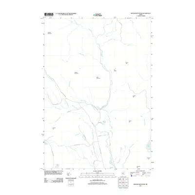
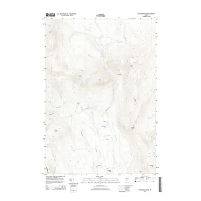
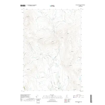
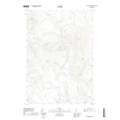
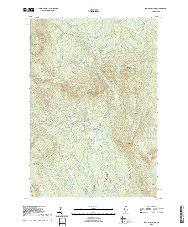 2024 Witham Mountain2024 Print · USGSSomerset County's mountain interior is captured here in the 2020s, showing a landscape defined by forestry roads and remote watercourses. Researchers can locate the Highland Cem and trace the paths of Sandy Stream and Schoolhouse Brook through the valley below Witham Mtn.
 - 2024 Map of Caratunk, 2024 Print
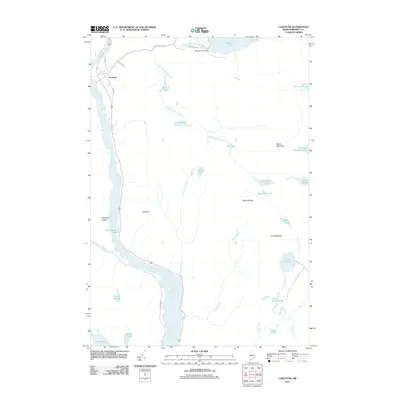
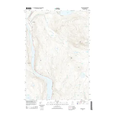
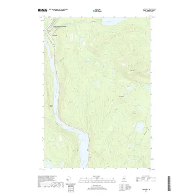
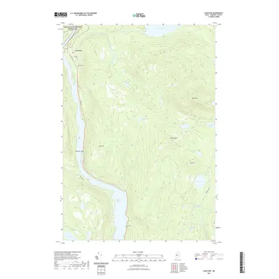
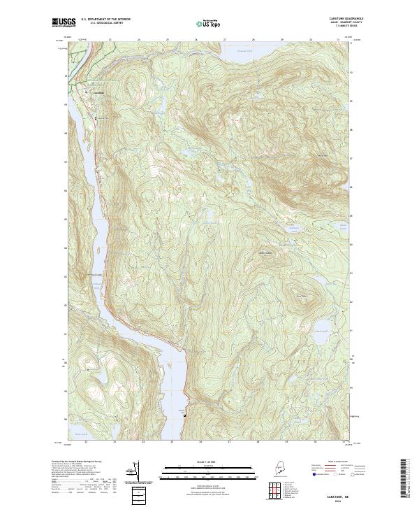 2024 Caratunk2024 Print · USGSMaine's Somerset County highlands are captured here in the early 2020s, centered on the riverfront settlement of Caratunk. Researchers can trace the Appalachian National Scenic Trail across the Kennebec River or locate family sites at Caratunk Cem and Stevens Cem.
 - 2024 Map of Bingham, 2024 Print
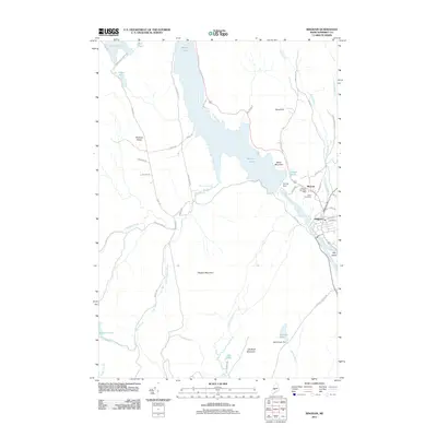
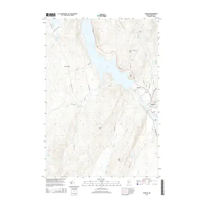
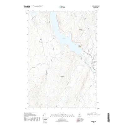
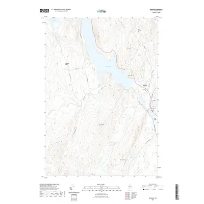
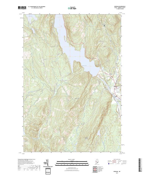 2024 Bingham2024 Print · USGSSomerset County’s riverfront settlements and high ridgelines are documented here as they appear today along the Kennebec River. Genealogists and local historians can locate several burial grounds like Union Cem and Pierce Hill Cem while tracing the waters of Wyman Lake.
 - 2024 Map of East Carry Pond, 2024 Print
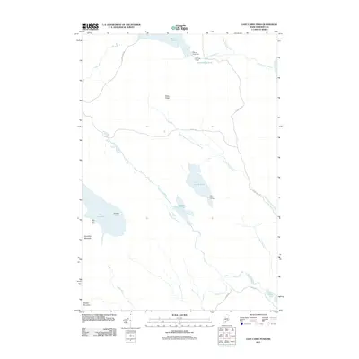
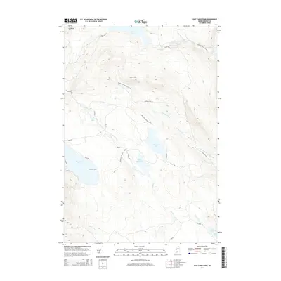
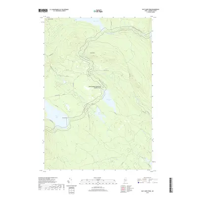
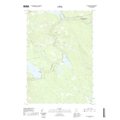
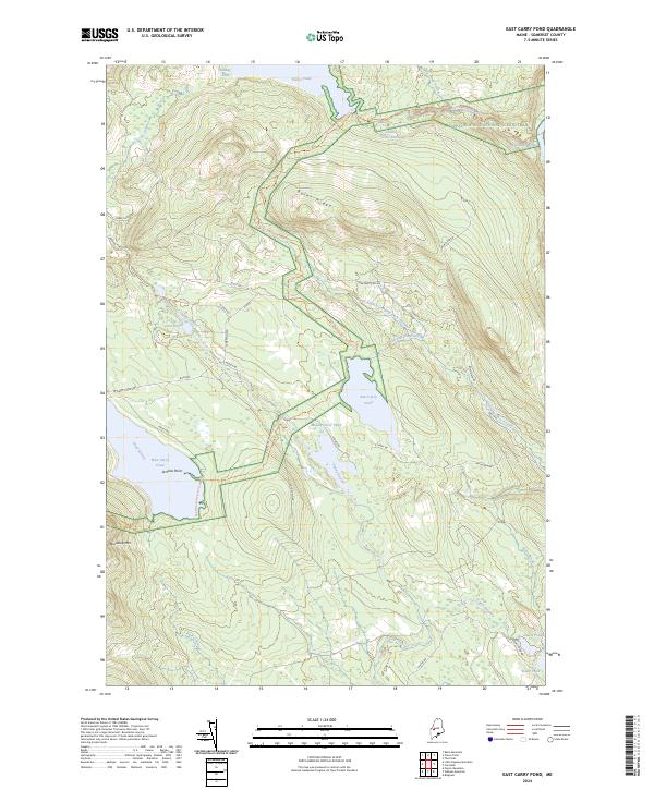 2024 East Carry Pond2024 Print · USGSThe Somerset County backcountry is shown here in modern detail, centered on the chain of the Carry Ponds. Hikers and historians can trace the Appalachian National Scenic Trail past Arnolds Point and across Bates Ridge.
End of results
Showing maps 1-20 of 20
Top cities near Pleasant Ridge Plantation
- Madison historical maps
- Anson historical maps
- Cornville historical maps
- Solon historical maps
- Kingfield historical maps
- Athens historical maps
See more
Frequently asked questions
- What are the different types of historical maps available for Pleasant Ridge Plantation?
- What is the oldest map of Pleasant Ridge Plantation?
- Where can I purchase historical maps of Pleasant Ridge Plantation for my home or office?
- Where can I download high-res historical maps of Pleasant Ridge Plantation?
- Are there historical topographic maps available for Pleasant Ridge Plantation?
- Is there historical aerial imagery available for Pleasant Ridge Plantation?
- Where are historical maps of Pleasant Ridge Plantation sourced from?