2020s Maps of Prentiss Township, Maine
Explore 8 historic maps of Prentiss Township from the 2020s. These maps offer a rare glimpse into what life looked like during the 2020s — showing old roads, neighborhoods, homes, and landmarks that have changed or disappeared over time.
Whether you're researching your family's past, planning a metal detecting trip, or studying how Prentiss Township's landscape evolved across the 2020s, these high-resolution maps are a powerful tool for exploring the history of this region.
- Focus on a specific era: All maps on this page are from the 2020s, giving you a focused view of this time period.
- See what’s changed: Compare century-old streets, trails, and buildings to today's modern landscape using overlays and satellite layers.
- Research with precision: Use these maps for genealogy, historical research, land use analysis, or educational projects.
- View, download, or print: Maps are fully viewable online in high resolution, and can be downloaded or printed for your own records.
Start exploring Prentiss Township's history through authentic maps from the 2020s. This is your window into the past.
Prentiss Township, ME maps
(8)- 2021 Map of Boundary Bald Mountain, 2021 Print
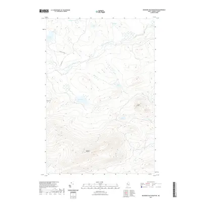 2021 Boundary Bald Mountain2021 Print · USGSCovers Prentiss Township, including Moose River, Thorndike Township, and other nearby areas
 - 2021 Map of Fisher Ponds, 2021 Print
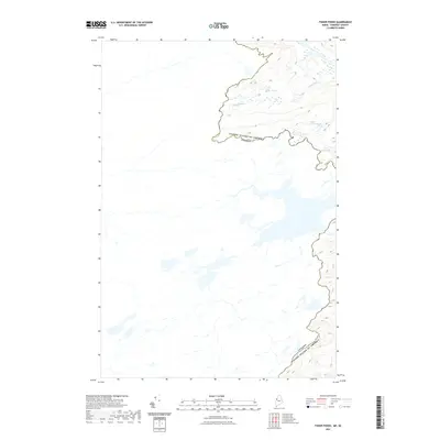 2021 Fisher Ponds2021 Print · USGSCovers Prentiss Township, including Saint-Théophile, T4 R5 NBKP, and other nearby areas
 - 2021 Map of Campbell Brook, 2021 Print
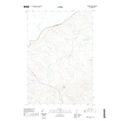 2021 Campbell Brook2021 Print · USGSCovers Prentiss Township, including Saint-Théophile, Sandy Bay Township, and other nearby areas
 - 2021 Map of Penobscot Lake, 2021 Print
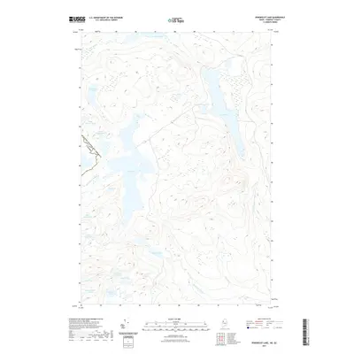 2021 Penobscot Lake2021 Print · USGSCovers Prentiss Township, including Saint-Théophile, T4 R5 NBKP, and other nearby areas
 - 2024 Map of Campbell Brook, 2024 Print
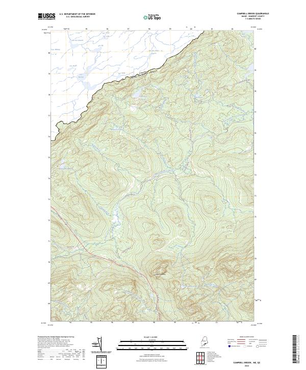 2024 Campbell Brook2024 Print · USGSThe international border and the upper reaches of the South Branch Penobscot River define this Somerset County landscape. Historians can trace the forest road networks such as Old Kelly Dam Rd and the proximity of Cemetery Rd to Number Two Mtn.
 - 2024 Map of Boundary Bald Mountain, 2024 Print
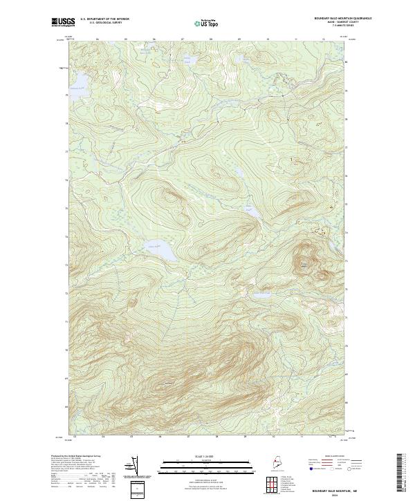 2024 Boundary Bald Mountain2024 Print · USGSSomerset County’s remote timberlands and high-elevation ponds are documented here in the contemporary era. Researchers and outdoorsmen can trace the logging paths of Old Cheney Rd and locate secluded waters like Wounded Deer Pond and Jones Pond.
 - 2024 Map of Fisher Ponds, 2024 Print
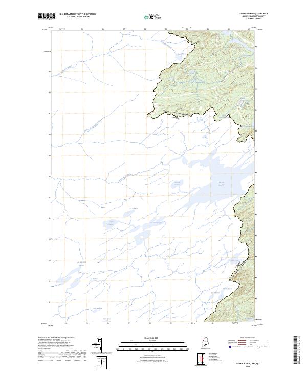 2024 Fisher Ponds2024 Print · USGSThe Maine-Quebec borderlands appear in this contemporary survey of the Somerset County wilderness. Researchers can trace the international boundary line where it meets remote waterways like Lac du Portage, Fisher Ponds, and the winding Rivière Wilson.
 - 2024 Map of Penobscot Lake, 2024 Print
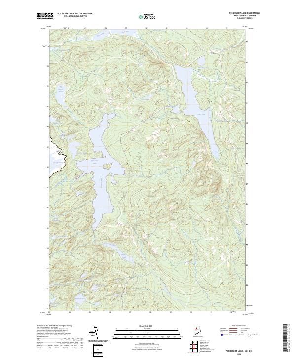 2024 Penobscot Lake2024 Print · USGSThe international border between the United States and Canada cuts through this remote Somerset County landscape in the early twenty-first century. Researchers can trace the complex headwaters of the Penobscot River system through Penobscot Lake, Lac du Portage, and Long Pond.
End of results
Showing maps 1-8 of 8
Top cities near Prentiss Township
Frequently asked questions
- What are the different types of historical maps available for Prentiss Township?
- What is the oldest map of Prentiss Township?
- Where can I purchase historical maps of Prentiss Township for my home or office?
- Where can I download high-res historical maps of Prentiss Township?
- Are there historical topographic maps available for Prentiss Township?
- Is there historical aerial imagery available for Prentiss Township?
- Where are historical maps of Prentiss Township sourced from?