2000s (21st Century) Maps of T10 R16 WELS, Maine
Explore 20 historic maps of T10 R16 WELS from the 2000s (21st Century). These maps offer a rare glimpse into what life looked like during the 2000s — showing old roads, neighborhoods, homes, and landmarks that have changed or disappeared over time.
Whether you're researching your family's past, planning a metal detecting trip, or studying how T10 R16 WELS's landscape evolved across the 2000s, these high-resolution maps are a powerful tool for exploring the history of this region.
- Focus on a specific era: All maps on this page are from the 2000s, giving you a focused view of this time period.
- See what’s changed: Compare century-old streets, trails, and buildings to today's modern landscape using overlays and satellite layers.
- Research with precision: Use these maps for genealogy, historical research, land use analysis, or educational projects.
- View, download, or print: Maps are fully viewable online in high resolution, and can be downloaded or printed for your own records.
Start exploring T10 R16 WELS's history through authentic maps from the 2000s. This is your window into the past.
T10 R16 WELS, ME maps
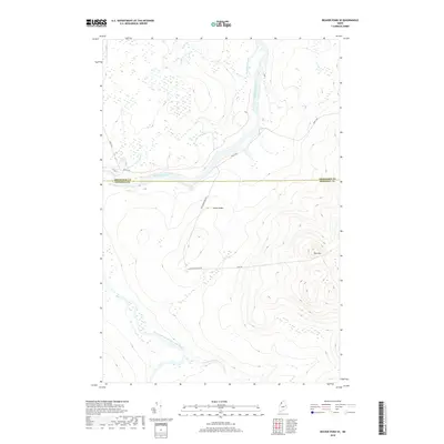
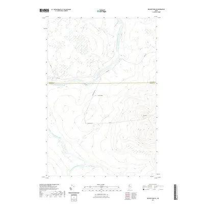
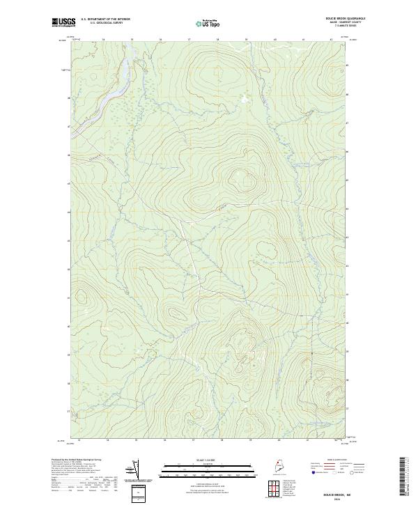
(20)- 2011 Map of Doucie Brook, 2011 Print
 2011 Doucie Brook2011 Print · USGSCovers T10 R16 WELS, including T9 R17 WELS, Big Ten Township, and other nearby areas
 - 2011 Map of Beaver Pond SE, 2011 Print
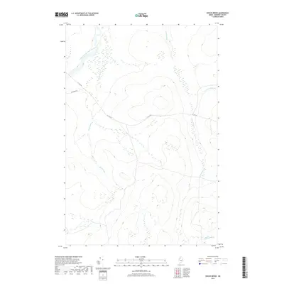
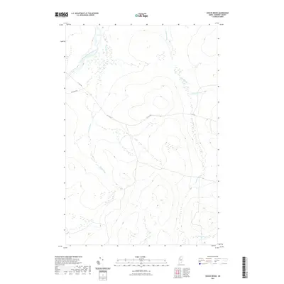
 2011 Beaver Pond SE2011 Print · USGSCovers T10 R16 WELS, including Big Ten Township, Powers Gore, and other nearby areas
 - 2011 Map of Allagash Pond, 2011 Print
 2011 Allagash Pond2011 Print · USGSCovers T10 R16 WELS, including T9 R15 WELS, T8 R15 WELS, and other nearby areas
 - 2011 Map of Fool Brook, 2011 Print
 2011 Fool Brook2011 Print · USGSCovers T10 R16 WELS, including T10 R15 WELS, T11 R15 WELS, and other nearby areas
 - 2014 Map of Allagash Pond, 2014 Print
 2014 Allagash Pond2014 Print · USGSCovers T10 R16 WELS, including T9 R15 WELS, T8 R15 WELS, and other nearby areas
 - 2014 Map of Beaver Pond SE, 2014 Print
 2014 Beaver Pond SE2014 Print · USGSCovers T10 R16 WELS, including Big Ten Township, Powers Gore, and other nearby areas
 - 2014 Map of Fool Brook, 2014 Print
 2014 Fool Brook2014 Print · USGSCovers T10 R16 WELS, including T10 R15 WELS, T11 R15 WELS, and other nearby areas
 - 2014 Map of Doucie Brook, 2014 Print
 2014 Doucie Brook2014 Print · USGSCovers T10 R16 WELS, including T9 R17 WELS, Big Ten Township, and other nearby areas
 - 2018 Map of Allagash Pond, 2018 Print
 2018 Allagash Pond2018 Print · USGSCovers T10 R16 WELS, including T9 R15 WELS, T8 R15 WELS, and other nearby areas
 - 2018 Map of Beaver Pond SE, 2018 Print
 2018 Beaver Pond SE2018 Print · USGSCovers T10 R16 WELS, including Big Ten Township, Powers Gore, and other nearby areas
 - 2018 Map of Doucie Brook, 2018 Print
 2018 Doucie Brook2018 Print · USGSCovers T10 R16 WELS, including T9 R17 WELS, Big Ten Township, and other nearby areas
 - 2018 Map of Fool Brook, 2018 Print
 2018 Fool Brook2018 Print · USGSCovers T10 R16 WELS, including T10 R15 WELS, T11 R15 WELS, and other nearby areas
 - 2021 Map of Doucie Brook, 2021 Print
 2021 Doucie Brook2021 Print · USGSCovers T10 R16 WELS, including T9 R17 WELS, Big Ten Township, and other nearby areas
 - 2021 Map of Beaver Pond SE, 2021 Print
 2021 Beaver Pond SE2021 Print · USGSCovers T10 R16 WELS, including Big Ten Township, Powers Gore, and other nearby areas
 - 2021 Map of Fool Brook, 2021 Print
 2021 Fool Brook2021 Print · USGSCovers T10 R16 WELS, including T10 R15 WELS, T11 R15 WELS, and other nearby areas
 - 2021 Map of Allagash Pond, 2021 Print
 2021 Allagash Pond2021 Print · USGSCovers T10 R16 WELS, including T9 R15 WELS, T8 R15 WELS, and other nearby areas
 - 2024 Map of Beaver Pond SE, 2024 Print
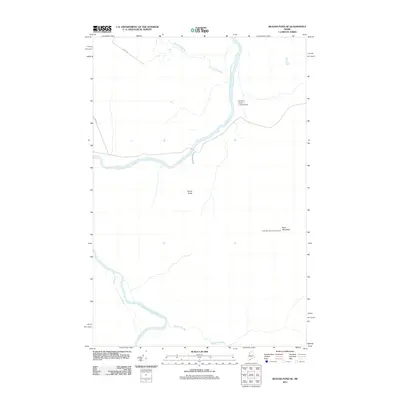
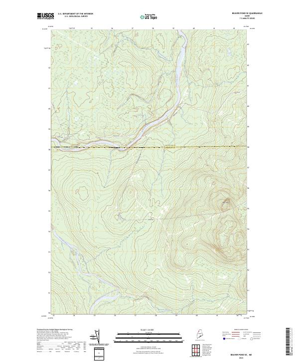 2024 Beaver Pond SE2024 Print · USGSNorthern Maine's timberlands are documented here in 2024, showing the vital waterways and forest roads of the border country. You can trace the Saint John River past Ledge Rapids and explore the area around Ross Mtn.
 - 2024 Map of Fool Brook, 2024 Print
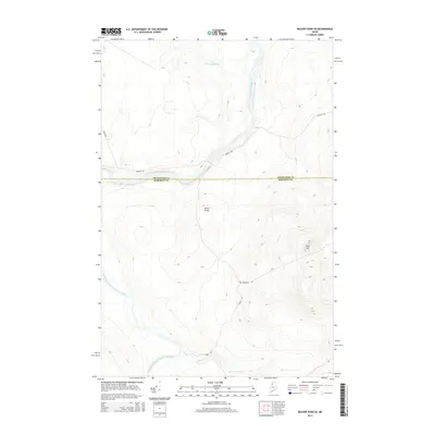
 2024 Fool Brook2024 Print · USGSThe north Maine woods at the tri-county intersection of Aroostook, Somerset, and Piscataquis are captured here in the contemporary era of industrial timberlands. Trace the remote logging networks of Realty Rd and Boulevard Rd as they navigate the watersheds of Fool Brook and Sweeney Brook.
 - 2024 Map of Doucie Brook, 2024 Print
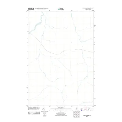
 2024 Doucie Brook2024 Print · USGSSomerset County's forested northern reaches are captured here in the early twenty-first century, showing a landscape shaped by the Southwest Branch Saint John River. Researchers can trace the remote paths of St Juste Rd and the headwaters of Doucie Brook and Knowles Brook.
 - 2024 Map of Allagash Pond, 2024 Print
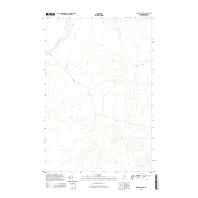
 2024 Allagash Pond2024 Print · USGSThe Maine North Woods at the Somerset and Piscataquis county line is captured here as a landscape of remote ridges and complex waterways. You can trace the timber and sporting routes along BOISE CASCADE RD to the headwaters of Chemquasabamticook Lake and the isolated Desolation Pond.
End of results
Showing maps 1-20 of 20
Frequently asked questions
- What are the different types of historical maps available for T10 R16 WELS?
- What is the oldest map of T10 R16 WELS?
- Where can I purchase historical maps of T10 R16 WELS for my home or office?
- Where can I download high-res historical maps of T10 R16 WELS?
- Are there historical topographic maps available for T10 R16 WELS?
- Is there historical aerial imagery available for T10 R16 WELS?
- Where are historical maps of T10 R16 WELS sourced from?