Old Maps of T5 R17 WELS, Maine
Explore 19 old maps of T5 R17 WELS, spanning from 1954 to today. These high-resolution historic maps reveal how streets, neighborhoods, landmarks, and natural features evolved over time — perfect for genealogy, metal detecting, research, and local history exploration.
What you can do with these maps:
- See how T5 R17 WELS changed over time: Compare historical maps to modern-day views to trace roads, homesites, rail lines & more.
- View detailed metadata: Each map includes creators, publishers, year, scale, and archive source.
- Overlay maps with satellite & LiDAR: Visualize the past alongside modern tools to explore terrain & human change.
- Trusted historical sources: Maps sourced from the USGS, Library of Congress, and other archives.
- Access maps your way: View online, download high-res files, or order prints for personal or research use.
Start exploring old maps of T5 R17 WELS to uncover forgotten places, hidden landmarks, and the deep history beneath your feet.
T5 R17 WELS, ME maps
(19)- 1954 Map of St. John Pond, 1955 Print
 1954 St. John Pond1955 Print · USGSSomerset County’s deep woods are captured here during the mid-fifties, showing the rugged timberlands and headwaters of the North Branch Penobscot River. Researchers can trace early logging infrastructure like St John Pond Depot, the Canal, and fire lookouts atop Little Russell Mtn.2 unique versions available
 - 1954 Map of Presque Isle, 1968 Print
 1954 Presque Isle1968 Print · USGSNorth Woods logging and rail history come alive in this mid-century survey of the Maine-Quebec borderlands. Genealogists and historians can trace the Bangor and Aroostook railroad through timber hubs like Ashland, Smyrna Mills, and Presque Isle.2 unique versions available
 - 1958 Map of Presque Isle
 1958 Presque Isle1958 Print · USGSThe Aroostook timber and potato country is captured here during the late fifties, showing the vital rail-to-river network of Northern Maine. Genealogists and historians can trace the Bangor & Aroostook RR through Mapleton and Ashland, or locate remote sites like Chamberlain Farm and Seven Islands.
 - 1958 Map of Saint John Pond, 1962 Print
 1958 Saint John Pond1962 Print · USGSThe Somerset County woods of the late fifties are captured here as a landscape of timber townships and remote water bodies. Researchers can trace early logging infrastructure at St John Pond Depot or locate the Lookout Tower on the slopes near Little Russell Mtn.2 unique versions available
 - 1960 Map of Presque Isle
 1960 Presque Isle1960 Print · USGSNorthern Maine during the mid-century was a land of timber, rails, and strategic airfields. Genealogists and historians can trace the growth of Presque Isle and Ashland or explore the remote northern reaches of Baxter State Park and Presque Isle AFB.3 unique versions available
 - 1986 Map of Chamberlain Lake
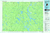 1986 Chamberlain Lake1986 Print · USGSThe Maine North Woods in the mid-eighties appear here as a land of protected wilderness and logging heritage, centered on the Allagash Wilderness Waterway. Researchers can trace the historic Tramway at Chamberlain Lake and locate old outposts like Churchill Depot.
 - 1989 Map of St. John Ponds
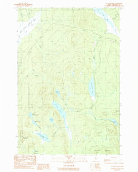 1989 St. John Ponds1989 Print · USGSSomerset County, Maine, was a remote expanse of timberland and interconnected waterways in the late eighties. Researchers can trace the path of the Baker Branch St John River through a series of namesake ponds, from Fifth St John Pond down to Second St John Pond.
 - 1989 Map of Russell Mountain
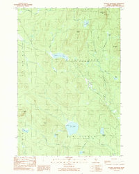 1989 Russell Mountain1989 Print · USGSNorthwestern Maine's timberlands are captured here in the late eighties, showing a landscape of private forest roads and isolated peaks. Trace the logging infrastructure and water bodies like Elm Pond or the heights of Little Russell Mtn and Nuthedus Mtn.
 - 1994 Map of Chamberlain Lake
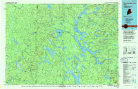 1994 Chamberlain Lake1994 Print · USGSThe North Maine Woods in the early nineties remained a network of logging outposts and protected waterways. You can trace the historic logging infrastructure at Churchill Depot, the portage at Tramway, and remote landings such as Telos Landing.
 - 2011 Map of Saint John Ponds, 2011 Print
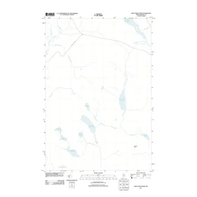 2011 Saint John Ponds2011 Print · USGSThe Somerset County backcountry at the start of the 2010s remains a wilderness of interconnected waterways and timber roads. Researchers can trace the drainage of the Baker Branch Saint John River through Fifth Saint John Pond and Third Saint John Pond.
 - 2011 Map of Russell Mountain, 2011 Print
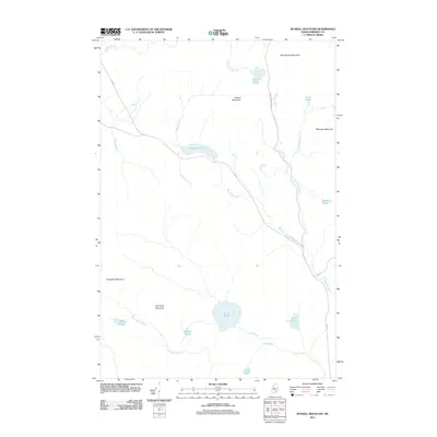 2011 Russell Mountain2011 Print · USGSSaint John Township in Somerset County was a remote landscape of timber and mountain peaks at the start of the 2010s. Researchers can trace forest access routes like 490 Rd and Russell Mountain Rd through the terrain near Russell Pond and Mule Pond.
 - 2014 Map of Saint John Ponds, 2014 Print
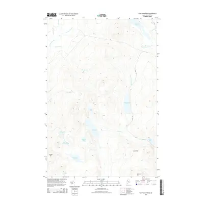 2014 Saint John Ponds2014 Print · USGSSomerset County’s remote timberlands and interconnected waterways are documented here in the early twenty-first century. Researchers can trace the source waters of the Baker Br Saint John River and find landmarks like Truesdale Mtn and the Fifth Saint John Pond.
 - 2014 Map of Russell Mountain, 2014 Print
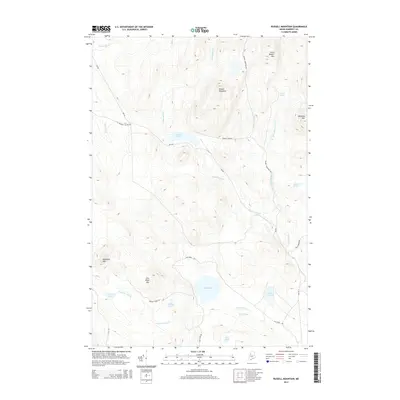 2014 Russell Mountain2014 Print · USGSSomerset County's remote timberlands and high ridges are shown here in the early twenty-first century. Outdoorsmen and researchers can trace the logging road networks like Russell Pond Rd to reach interior waters like Horse Pond and Bradley Pond.
 - 2018 Map of Russell Mountain, 2018 Print
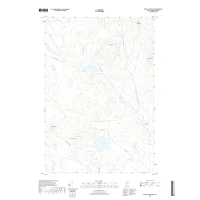 2018 Russell Mountain2018 Print · USGSSaint John Township in the late twenty-teens is a landscape of high summits and managed timberlands deep in Somerset County. Researchers can trace the hydrography of the north woods through Russell Stream, Elm Pond, and the remote Russell Bog.
 - 2018 Map of Saint John Ponds, 2018 Print
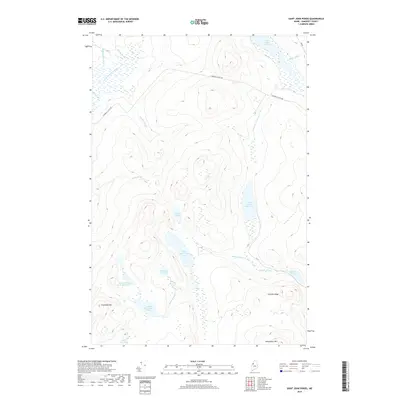 2018 Saint John Ponds2018 Print · USGSSomerset County’s remote timberlands appear in high detail at the start of the twenty-first century, showing the critical headwaters of two major river systems. Researchers can trace the chain of Fifth Saint John Pond through the lower basins while locating landmarks like Truesdale Mtn and the N Branch Access Rd.
 - 2021 Map of Saint John Ponds, 2021 Print
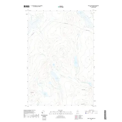 2021 Saint John Ponds2021 Print · USGSSomerset County’s northern timberlands and the upper Saint John Ponds are documented here in the early twenty-first century. Outdoor researchers can trace the interconnected flow of Baker Stream through the Third and Fourth Saint John Ponds or locate high-ground landmarks like Truesdale Mtn.
 - 2021 Map of Russell Mountain, 2021 Print
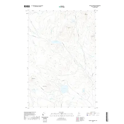 2021 Russell Mountain2021 Print · USGSSaint John Township and the high peaks of Somerset County are shown in this recent survey of the Maine North Woods. Researchers can trace the logging road networks near Russell Pond and locate remote water bodies like Lost Pond and Mule Pond.
 - 2024 Map of Saint John Ponds, 2024 Print
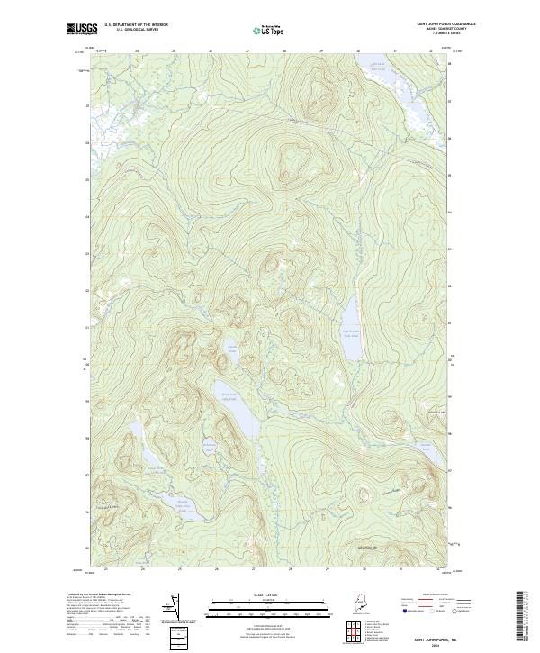 2024 Saint John Ponds2024 Print · USGSThe remote Maine North Woods of Somerset County appear here in the early twenty-first century, centered on the Saint John River headwaters. Genealogists and historians can trace the interconnected First, Second, and Third Saint John Ponds near landmarks like Truesdale Mtn.
 - 2024 Map of Russell Mountain, 2024 Print
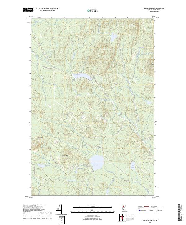 2024 Russell Mountain2024 Print · USGSThe North Woods of Somerset County are shown in detail during the early 2020s, highlighting a landscape defined by timber access and high-elevation waters. Researchers can trace remote logging routes like Russell Pond Rd past landmarks such as Russell Bog and Nulhedus Mtn.
End of results
Showing maps 1-19 of 19
Frequently asked questions
- What are the different types of historical maps available for T5 R17 WELS?
- What is the oldest map of T5 R17 WELS?
- Where can I purchase historical maps of T5 R17 WELS for my home or office?
- Where can I download high-res historical maps of T5 R17 WELS?
- Are there historical topographic maps available for T5 R17 WELS?
- Is there historical aerial imagery available for T5 R17 WELS?
- Where are historical maps of T5 R17 WELS sourced from?