2000s (21st Century) Maps of T7 R16 WELS, Maine
Explore 20 historic maps of T7 R16 WELS from the 2000s (21st Century). These maps offer a rare glimpse into what life looked like during the 2000s — showing old roads, neighborhoods, homes, and landmarks that have changed or disappeared over time.
Whether you're researching your family's past, planning a metal detecting trip, or studying how T7 R16 WELS's landscape evolved across the 2000s, these high-resolution maps are a powerful tool for exploring the history of this region.
- Focus on a specific era: All maps on this page are from the 2000s, giving you a focused view of this time period.
- See what’s changed: Compare century-old streets, trails, and buildings to today's modern landscape using overlays and satellite layers.
- Research with precision: Use these maps for genealogy, historical research, land use analysis, or educational projects.
- View, download, or print: Maps are fully viewable online in high resolution, and can be downloaded or printed for your own records.
Start exploring T7 R16 WELS's history through authentic maps from the 2000s. This is your window into the past.
T7 R16 WELS, ME maps
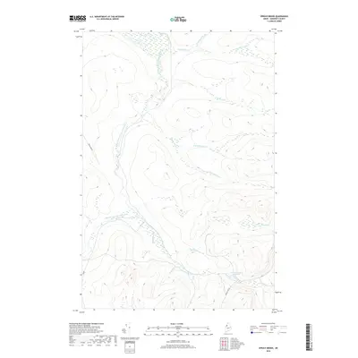
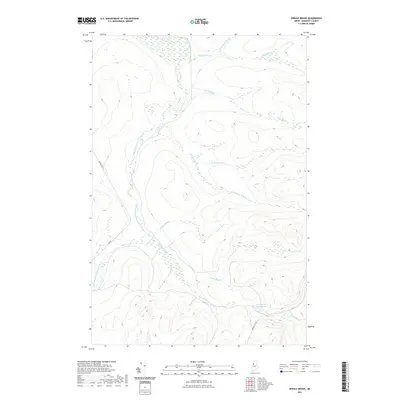
(20)- 2011 Map of Spruce Brook, 2011 Print
 2011 Spruce Brook2011 Print · USGSCovers T7 R16 WELS, including Saint John Township, T7 R17 WELS, and other nearby areas
 - 2011 Map of Wadleigh Pond, 2011 Print
 2011 Wadleigh Pond2011 Print · USGSCovers T7 R16 WELS, including T8 R15 WELS, T7 R15 WELS, and other nearby areas
 - 2011 Map of Caucomgomoc Lake West, 2011 Print
 2011 Caucomgomoc Lake West2011 Print · USGSCovers T7 R16 WELS, including Saint John Township, T7 R15 WELS, and other nearby areas
 - 2011 Map of Turner Pond, 2011 Print
 2011 Turner Pond2011 Print · USGSCovers T7 R16 WELS, including T7 R17 WELS, T8 R16 WELS, and other nearby areas
 - 2014 Map of Turner Pond, 2014 Print
 2014 Turner Pond2014 Print · USGSCovers T7 R16 WELS, including T7 R17 WELS, T8 R16 WELS, and other nearby areas
 - 2014 Map of Wadleigh Pond, 2014 Print
 2014 Wadleigh Pond2014 Print · USGSCovers T7 R16 WELS, including T8 R15 WELS, T7 R15 WELS, and other nearby areas
 - 2014 Map of Caucomgomoc Lake West, 2014 Print
 2014 Caucomgomoc Lake West2014 Print · USGSCovers T7 R16 WELS, including Saint John Township, T7 R15 WELS, and other nearby areas
 - 2014 Map of Spruce Brook, 2014 Print
 2014 Spruce Brook2014 Print · USGSCovers T7 R16 WELS, including Saint John Township, T7 R17 WELS, and other nearby areas
 - 2018 Map of Turner Pond, 2018 Print
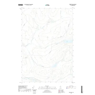 2018 Turner Pond2018 Print · USGSCovers T7 R16 WELS, including T7 R17 WELS, T8 R16 WELS, and other nearby areas
 - 2018 Map of Wadleigh Pond, 2018 Print
 2018 Wadleigh Pond2018 Print · USGSCovers T7 R16 WELS, including T8 R15 WELS, T7 R15 WELS, and other nearby areas
 - 2018 Map of Spruce Brook, 2018 Print
 2018 Spruce Brook2018 Print · USGSCovers T7 R16 WELS, including Saint John Township, T7 R17 WELS, and other nearby areas
 - 2018 Map of Caucomgomoc Lake West, 2018 Print
 2018 Caucomgomoc Lake West2018 Print · USGSCovers T7 R16 WELS, including Saint John Township, T7 R15 WELS, and other nearby areas
 - 2021 Map of Caucomgomoc Lake West, 2021 Print
 2021 Caucomgomoc Lake West2021 Print · USGSCovers T7 R16 WELS, including Saint John Township, T7 R15 WELS, and other nearby areas
 - 2021 Map of Spruce Brook, 2021 Print
 2021 Spruce Brook2021 Print · USGSCovers T7 R16 WELS, including Saint John Township, T7 R17 WELS, and other nearby areas
 - 2021 Map of Wadleigh Pond, 2021 Print
 2021 Wadleigh Pond2021 Print · USGSCovers T7 R16 WELS, including T8 R15 WELS, T7 R15 WELS, and other nearby areas
 - 2021 Map of Turner Pond, 2021 Print
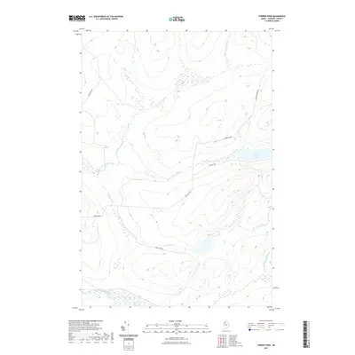 2021 Turner Pond2021 Print · USGSCovers T7 R16 WELS, including T7 R17 WELS, T8 R16 WELS, and other nearby areas
 - 2024 Map of Spruce Brook, 2024 Print
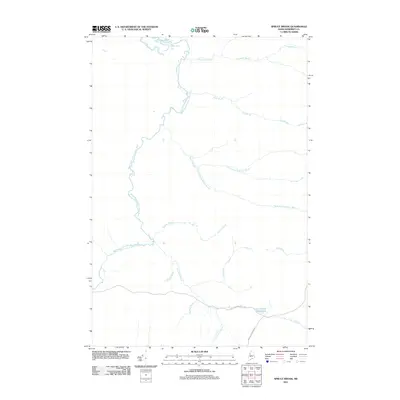
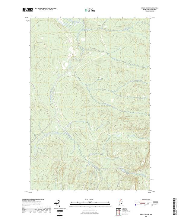 2024 Spruce Brook2024 Print · USGSThe Maine north woods in Somerset County are defined here by the headwaters of the Saint John River system. Genealogists and researchers can trace the remote logging routes of Baker Lake Rd and the marshy reaches of Loon Stream and the Deadwater.
 - 2024 Map of Caucomgomoc Lake West, 2024 Print
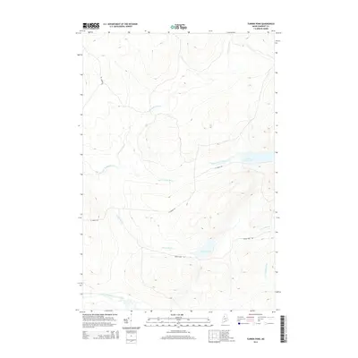
 2024 Caucomgomoc Lake West2024 Print · USGSThe wilderness along the Somerset and Piscataquis county line is captured in this modern survey of northern Maine. Researchers can trace the network of logging roads and water systems connecting Loon Lake, Caucomgomoc Mtn, and the expansive Bear Brook Bog.
 - 2024 Map of Wadleigh Pond, 2024 Print
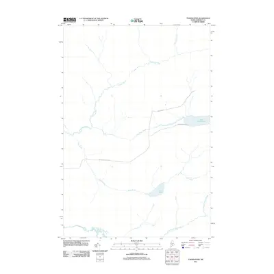
 2024 Wadleigh Pond2024 Print · USGSThe Maine North Woods at the Somerset and Piscataquis county line are documented here in the early twenty-first century. Researchers can trace the network of timber roads and remote waterways including Wadleigh Pond, Saint Francis Lake, and Pingree Rd.
 - 2024 Map of Turner Pond, 2024 Print
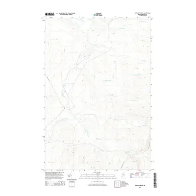
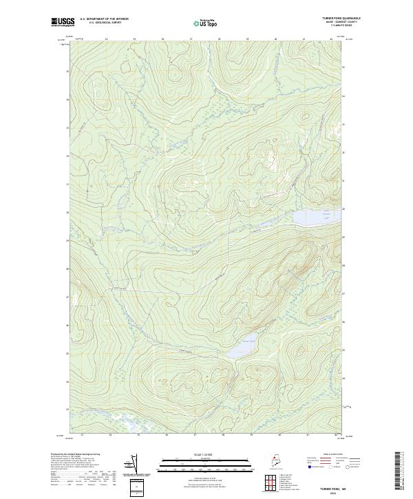 2024 Turner Pond2024 Print · USGSNorthern Maine's timberlands and remote waterways are documented here in the early twenty-first century. Outdoorsmen and land researchers can trace the reach of Baker Lake Rd and St Francis Rd near the shores of Saint Francis Lake.
End of results
Showing maps 1-20 of 20
Frequently asked questions
- What are the different types of historical maps available for T7 R16 WELS?
- What is the oldest map of T7 R16 WELS?
- Where can I purchase historical maps of T7 R16 WELS for my home or office?
- Where can I download high-res historical maps of T7 R16 WELS?
- Are there historical topographic maps available for T7 R16 WELS?
- Is there historical aerial imagery available for T7 R16 WELS?
- Where are historical maps of T7 R16 WELS sourced from?