2000s (21st Century) Maps of T7 R18 WELS, Maine
Explore 20 historic maps of T7 R18 WELS from the 2000s (21st Century). These maps offer a rare glimpse into what life looked like during the 2000s — showing old roads, neighborhoods, homes, and landmarks that have changed or disappeared over time.
Whether you're researching your family's past, planning a metal detecting trip, or studying how T7 R18 WELS's landscape evolved across the 2000s, these high-resolution maps are a powerful tool for exploring the history of this region.
- Focus on a specific era: All maps on this page are from the 2000s, giving you a focused view of this time period.
- See what’s changed: Compare century-old streets, trails, and buildings to today's modern landscape using overlays and satellite layers.
- Research with precision: Use these maps for genealogy, historical research, land use analysis, or educational projects.
- View, download, or print: Maps are fully viewable online in high resolution, and can be downloaded or printed for your own records.
Start exploring T7 R18 WELS's history through authentic maps from the 2000s. This is your window into the past.
T7 R18 WELS, ME maps
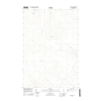
(20)- 2011 Map of Hinckley Hill, 2011 Print
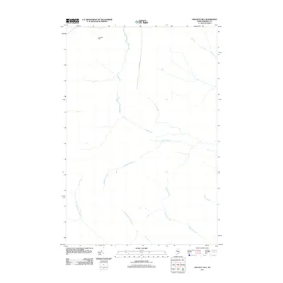 2011 Hinckley Hill2011 Print · USGSCovers T7 R18 WELS, including Big Six Township, T6 R18 WELS, and other nearby areas
 - 2011 Map of Hardwood Mountain SE, 2011 Print
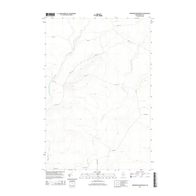
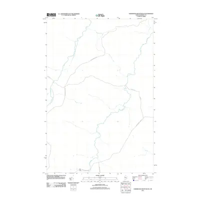 2011 Hardwood Mountain SE2011 Print · USGSCovers T7 R18 WELS, including T7 R19 WELS, T8 R19 WELS, and other nearby areas
 - 2011 Map of Saint John Pond Depot, 2011 Print
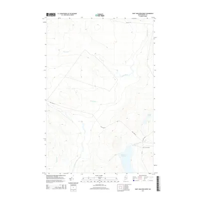
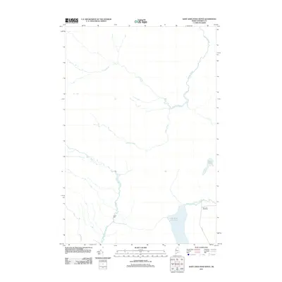 2011 Saint John Pond Depot2011 Print · USGSCovers T7 R18 WELS, including T7 R17 WELS, T6 R17 WELS, and other nearby areas
 - 2011 Map of Baker Lake, 2011 Print
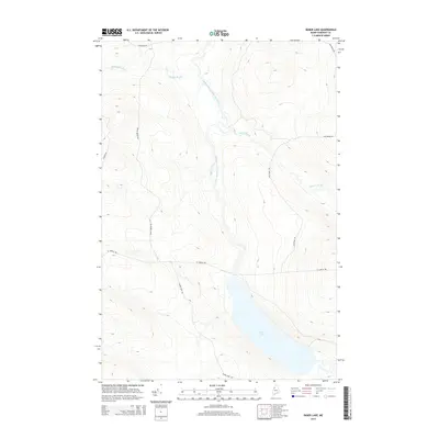
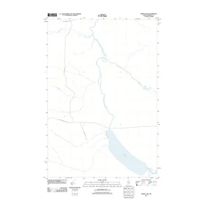 2011 Baker Lake2011 Print · USGSCovers T7 R18 WELS, including T7 R17 WELS, T8 R18 WELS, and other nearby areas
 - 2014 Map of Saint John Pond Depot, 2014 Print
 2014 Saint John Pond Depot2014 Print · USGSCovers T7 R18 WELS, including T7 R17 WELS, T6 R17 WELS, and other nearby areas
 - 2014 Map of Baker Lake, 2014 Print
 2014 Baker Lake2014 Print · USGSCovers T7 R18 WELS, including T7 R17 WELS, T8 R18 WELS, and other nearby areas
 - 2014 Map of Hinckley Hill, 2014 Print
 2014 Hinckley Hill2014 Print · USGSCovers T7 R18 WELS, including Big Six Township, T6 R18 WELS, and other nearby areas
 - 2014 Map of Hardwood Mountain SE, 2014 Print
 2014 Hardwood Mountain SE2014 Print · USGSCovers T7 R18 WELS, including T7 R19 WELS, T8 R19 WELS, and other nearby areas
 - 2018 Map of Hardwood Mountain SE, 2018 Print
 2018 Hardwood Mountain SE2018 Print · USGSCovers T7 R18 WELS, including T7 R19 WELS, T8 R19 WELS, and other nearby areas
 - 2018 Map of Hinckley Hill, 2018 Print
 2018 Hinckley Hill2018 Print · USGSCovers T7 R18 WELS, including Big Six Township, T6 R18 WELS, and other nearby areas
 - 2018 Map of Baker Lake, 2018 Print
 2018 Baker Lake2018 Print · USGSCovers T7 R18 WELS, including T7 R17 WELS, T8 R18 WELS, and other nearby areas
 - 2018 Map of Saint John Pond Depot, 2018 Print
 2018 Saint John Pond Depot2018 Print · USGSCovers T7 R18 WELS, including T7 R17 WELS, T6 R17 WELS, and other nearby areas
 - 2021 Map of Hardwood Mountain SE, 2021 Print
 2021 Hardwood Mountain SE2021 Print · USGSCovers T7 R18 WELS, including T7 R19 WELS, T8 R19 WELS, and other nearby areas
 - 2021 Map of Hinckley Hill, 2021 Print
 2021 Hinckley Hill2021 Print · USGSCovers T7 R18 WELS, including Big Six Township, T6 R18 WELS, and other nearby areas
 - 2021 Map of Saint John Pond Depot, 2021 Print
 2021 Saint John Pond Depot2021 Print · USGSCovers T7 R18 WELS, including T7 R17 WELS, T6 R17 WELS, and other nearby areas
 - 2021 Map of Baker Lake, 2021 Print
 2021 Baker Lake2021 Print · USGSCovers T7 R18 WELS, including T7 R17 WELS, T8 R18 WELS, and other nearby areas
 - 2024 Map of Hinckley Hill, 2024 Print
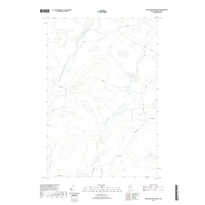
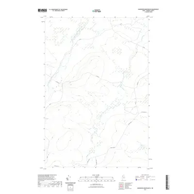
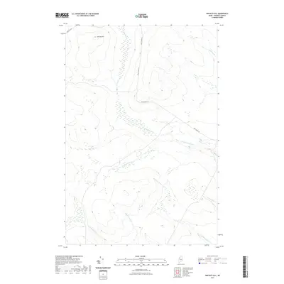
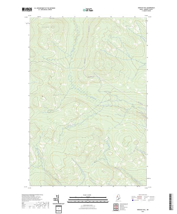 2024 Hinckley Hill2024 Print · USGSSomerset County's forested interior is documented in this recent survey of the region's complex watersheds. Genealogists and researchers can trace the routes of Abacotnetic Stream, Brailey Brook, and Hinckley Hill.
 - 2024 Map of Hardwood Mountain SE, 2024 Print
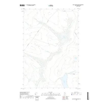
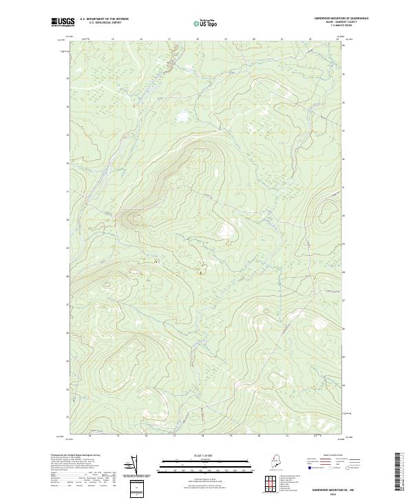 2024 Hardwood Mountain SE2024 Print · USGSSomerset County’s northern woods appear in this recent survey as a landscape of commercial timberlands and winding waterways. Genealogists and historians can trace the access routes of the logging industry along Saint Aurelie Rd and the banks of Brailey Brook.
 - 2024 Map of Saint John Pond Depot, 2024 Print
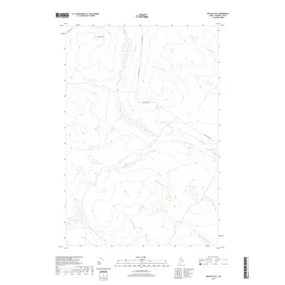
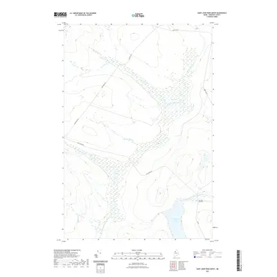
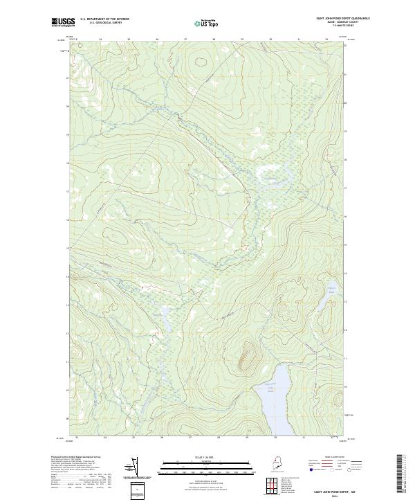 2024 Saint John Pond Depot2024 Print · USGSThe North Maine Woods in Somerset County appear here in a state of remote wilderness, centered on the headwaters of the Penobscot. Outdoor researchers can trace backcountry access via Baker Lake Rd to reach Fifth Saint John Pond and Sweeney Bog.
 - 2024 Map of Baker Lake, 2024 Print
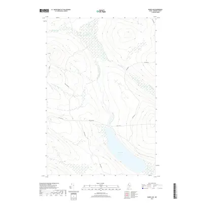
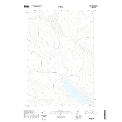
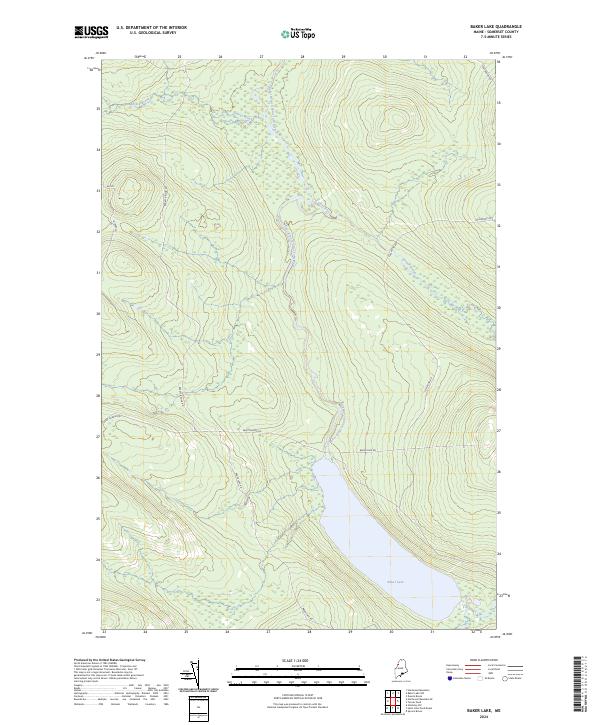 2024 Baker Lake2024 Print · USGSSomerset County’s northern woodlands and waters are captured here in the contemporary era. Researchers can trace the logging road networks like Saint Aurelie Rd and Foss Pond Rd as they converge near the shores of Baker Lake.
End of results
Showing maps 1-20 of 20
Frequently asked questions
- What are the different types of historical maps available for T7 R18 WELS?
- What is the oldest map of T7 R18 WELS?
- Where can I purchase historical maps of T7 R18 WELS for my home or office?
- Where can I download high-res historical maps of T7 R18 WELS?
- Are there historical topographic maps available for T7 R18 WELS?
- Is there historical aerial imagery available for T7 R18 WELS?
- Where are historical maps of T7 R18 WELS sourced from?