Old Maps of T7 R19 WELS, Maine for Hiking & Exploration
Hike through history with 40 historic maps of T7 R19 WELS. Explore old trails, ghost towns, and forgotten backroads — perfect for outdoor adventurers and local explorers.
- Rediscover forgotten places: Map out old mining camps, roads, and footpaths that no longer exist on modern maps.
- Layer with modern tools: Combine with LiDAR or satellite views to plan hikes through historical terrain.
- Made for exploration: Popular among hikers, overlanders, and local history lovers.
Use these maps to find adventure and explore the hidden past of T7 R19 WELS.
T7 R19 WELS, ME maps
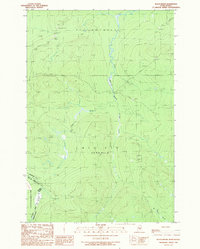
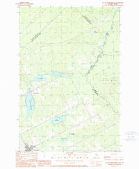
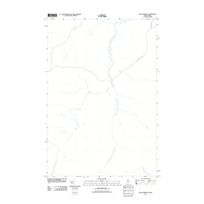
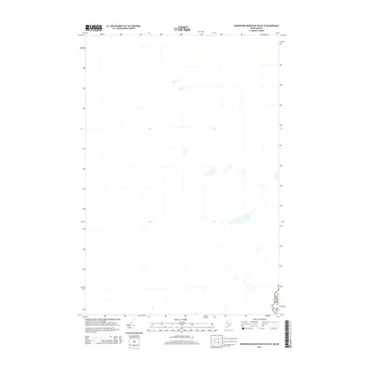
(40)- 1957 Map of Norris Brook, 1960 Print
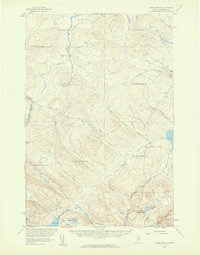 1957 Norris Brook1960 Print · USGSSomerset County, Maine, is captured in the late 1950s as a remote timber and water wilderness along the Canadian border. Genealogists and historians can trace the headwaters of the St John River and the Penobscot River or locate landmarks like Big Bog and Hurricane Hill.3 unique versions available
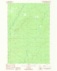
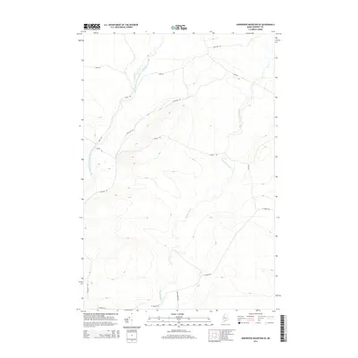
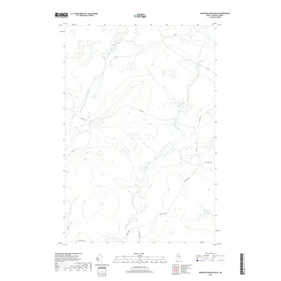
 - 1957 Map of Hardwood Mountain, 1960 Print
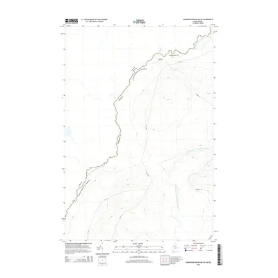
 1957 Hardwood Mountain1960 Print · USGSThe international borderlands of Somerset County and Quebec come into sharp focus in the late fifties. Researchers can trace the Canadian Pacific rail line through St Camille-de-Bellechasse or locate remote camps like the Billy Jack Depot.3 unique versions available
 - 1957 Map of Saint Zacharie, 1961 Print
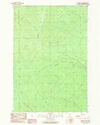
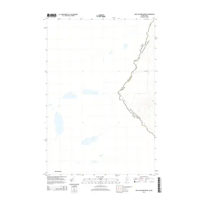
 1957 Saint Zacharie1961 Print · USGSThe northern Maine borderlands and adjacent Quebec parishes are captured here in the late fifties, showcasing a remote timber and farming region. Genealogists and historians can trace lineage across the boundary near St Zacharie and Ste Aurelie, or locate isolated camps like La Croix Depot.3 unique versions available
 - 1962 Map of Quebec, 1966 Print
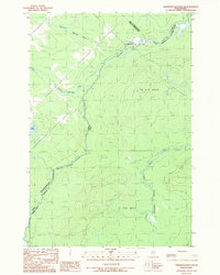
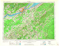 1962 Quebec1966 Print · USGSThe cross-border region between Quebec and Northern Maine is captured here during the mid-1960s, showing the dense settlement of the St. Lawrence valley and the rugged timberlands of the frontier. Genealogists can trace family roots through numerous parishes like St-Joseph-de-Beauce or locate the industrial hubs of Thetford Mines and Levis.3 unique versions available
 - 1986 Map of Lac Etchemin
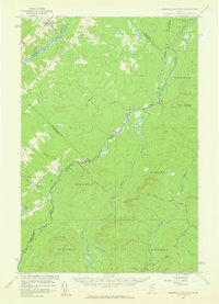
 1986 Lac Etchemin1986 Print · USGSThe Maine North Woods at the Quebec border are shown here as a landscape of timber management and remote river branches. Genealogists and historians can trace the logging history at Billy-Jack Depot and the headwaters of the St John River.
 - 1989 Map of Black Brook
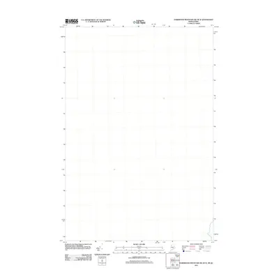
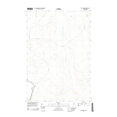
 1989 Black Brook1989 Print · USGSThe Maine-Quebec borderlands come into focus in the late 1980s, documenting the remote timber and mining country of Somerset County. Researchers can trace the rugged course of the Southwest Branch St John River and locate industrial landmarks like the Shale Pit and various Sand and Gravel Pits.
 - 1989 Map of Hardwood Mountain SE
 1989 Hardwood Mountain SE1989 Print · USGSThe Maine North Woods in the late 1980s are captured here during a period of active timber management and private road expansion. You can trace the winding St John River and locate industrial landmarks like the Sand and Gravel Pits and forest Gate.
 - 1989 Map of Hinckley Hill
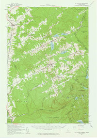
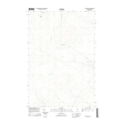
 1989 Hinckley Hill1989 Print · USGSSomerset County, Maine, is shown in the late 1980s as a managed timberland landscape organized by township and range. Surveyors and researchers can trace drainage patterns along Abacotnetic Stream and locate landmarks like Hinckley Hill or Rainey Bk.
 - 1989 Map of Hardwood Mountain SW
 1989 Hardwood Mountain SW1989 Print · USGSThe international border between Maine and Quebec in the late 1980s is defined by the winding Southwest Branch St John River. Researchers can trace the logging infrastructure of this remote area through markers like the Barriere and Gravel Pits that supported the wilderness roads.
 - 1989 Map of St. Zacharie North
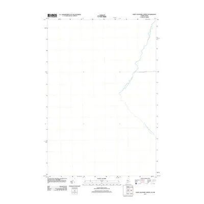
 1989 St. Zacharie North1989 Print · USGSThe Maine-Quebec borderlands in the late 1980s come alive through this survey of the international boundary near Saint-Zacharie. Researchers can trace remote logging roads and waterways like the Southwest Branch St John River or locate the Port of Entry near Sainte-Aurélie.
 - 1993 Map of Lac Etchemin
 1993 Lac Etchemin1993 Print · USGSThe borderlands of Maine and Quebec in the 1990s are defined here by the international boundary cutting through dense timberlands and the Beauce valley. Researchers can trace the Port of Entry near the Saint John River Southwest Branch and explore the layouts of Beauceville and Lac-Etchemin.
 - 2011 Map of Hinckley Hill, 2011 Print
 2011 Hinckley Hill2011 Print · USGSCovers T7 R19 WELS, including Big Six Township, T6 R18 WELS, and other nearby areas
 - 2011 Map of Hardwood Mountain SE, 2011 Print
 2011 Hardwood Mountain SE2011 Print · USGSCovers T7 R19 WELS, including T7 R18 WELS, T8 R19 WELS, and other nearby areas
 - 2011 Map of Hardwood Mountain SW, 2011 Print
 2011 Hardwood Mountain SW2011 Print · USGSCovers T7 R19 WELS, including Saint-Louis-de-Gonzague, T8 R19 WELS, and other nearby areas
 - 2011 Map of Black Brook, 2011 Print
 2011 Black Brook2011 Print · USGSCovers T7 R19 WELS, including Saint-Zacharie, Big Six Township, and other nearby areas
 - 2011 Map of Saint Zacharie North, 2011 Print
 2011 Saint Zacharie North2011 Print · USGSCovers T7 R19 WELS, including Saint-Zacharie, Big Six Township, and other nearby areas
 - 2011 Map of Hardwood Mountain SW OE W, 2011 Print
 2011 Hardwood Mountain SW OE W2011 Print · USGSCovers T7 R19 WELS, including Sainte-Justine, Saint-Louis-de-Gonzague, and other nearby areas
 - 2014 Map of Hinckley Hill, 2014 Print
 2014 Hinckley Hill2014 Print · USGSCovers T7 R19 WELS, including Big Six Township, T6 R18 WELS, and other nearby areas
 - 2014 Map of Hardwood Mountain SE, 2014 Print
 2014 Hardwood Mountain SE2014 Print · USGSCovers T7 R19 WELS, including T7 R18 WELS, T8 R19 WELS, and other nearby areas
 - 2014 Map of Saint Zacharie North, 2014 Print
 2014 Saint Zacharie North2014 Print · USGSCovers T7 R19 WELS, including Saint-Zacharie, Big Six Township, and other nearby areas
 - 2014 Map of Black Brook, 2014 Print
 2014 Black Brook2014 Print · USGSCovers T7 R19 WELS, including Saint-Zacharie, Big Six Township, and other nearby areas
 - 2014 Map of Hardwood Mountain SW, 2014 Print
 2014 Hardwood Mountain SW2014 Print · USGSCovers T7 R19 WELS, including Saint-Louis-de-Gonzague, T8 R19 WELS, and other nearby areas
 - 2014 Map of Hardwood Mountain SW OE W, 2014 Print
 2014 Hardwood Mountain SW OE W2014 Print · USGSCovers T7 R19 WELS, including Sainte-Justine, Saint-Louis-de-Gonzague, and other nearby areas
 - 2018 Map of Hardwood Mountain SE, 2018 Print
 2018 Hardwood Mountain SE2018 Print · USGSCovers T7 R19 WELS, including T7 R18 WELS, T8 R19 WELS, and other nearby areas
 - 2018 Map of Hinckley Hill, 2018 Print
 2018 Hinckley Hill2018 Print · USGSCovers T7 R19 WELS, including Big Six Township, T6 R18 WELS, and other nearby areas
Showing maps 1-25 of 40
Frequently asked questions
- What are the different types of historical maps available for T7 R19 WELS?
- What is the oldest map of T7 R19 WELS?
- Where can I purchase historical maps of T7 R19 WELS for my home or office?
- Where can I download high-res historical maps of T7 R19 WELS?
- Are there historical topographic maps available for T7 R19 WELS?
- Is there historical aerial imagery available for T7 R19 WELS?
- Where are historical maps of T7 R19 WELS sourced from?