Old Maps of T8 R19 WELS, Maine for Academic Research
Study the evolution of T8 R19 WELS with 27 high-resolution historic maps. Whether you're teaching, researching, or modeling changes in land use, these maps provide essential visual documentation of urban, environmental, and geographic change.
- Analyze long-term change: Track patterns in development, transportation, and natural features.
- Ideal for environmental or urban studies: Support academic projects with primary historical map data.
- Use in the classroom or lab: Educators and researchers rely on these maps to bring historical context to life.
These maps are a powerful tool for teaching, research, and visualizing how T8 R19 WELS has changed over the decades.
T8 R19 WELS, ME maps
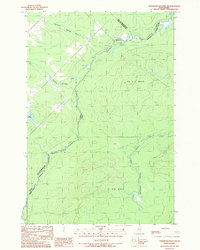
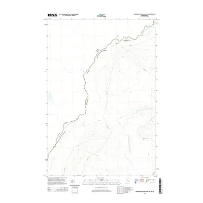
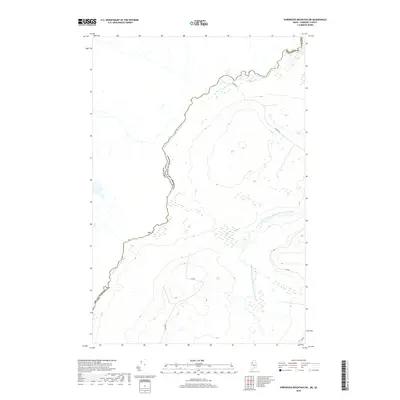
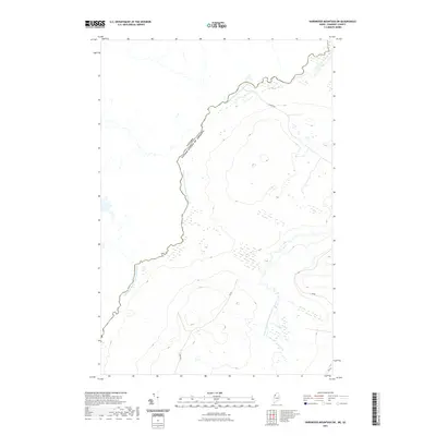
(27)- 1957 Map of Hardwood Mountain, 1960 Print
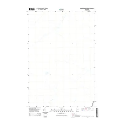
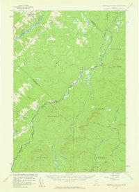 1957 Hardwood Mountain1960 Print · USGSThe international borderlands of Somerset County and Quebec come into sharp focus in the late fifties. Researchers can trace the Canadian Pacific rail line through St Camille-de-Bellechasse or locate remote camps like the Billy Jack Depot.3 unique versions available
 - 1962 Map of Quebec, 1966 Print
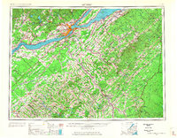 1962 Quebec1966 Print · USGSThe cross-border region between Quebec and Northern Maine is captured here during the mid-1960s, showing the dense settlement of the St. Lawrence valley and the rugged timberlands of the frontier. Genealogists can trace family roots through numerous parishes like St-Joseph-de-Beauce or locate the industrial hubs of Thetford Mines and Levis.3 unique versions available
 - 1986 Map of Lac Etchemin
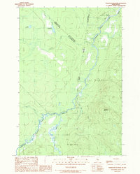
 1986 Lac Etchemin1986 Print · USGSThe Maine North Woods at the Quebec border are shown here as a landscape of timber management and remote river branches. Genealogists and historians can trace the logging history at Billy-Jack Depot and the headwaters of the St John River.
 - 1989 Map of Hardwood Mountain
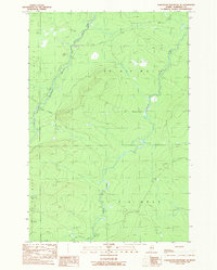
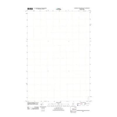
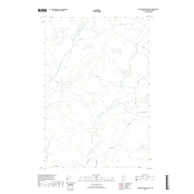
 1989 Hardwood Mountain1989 Print · USGSThe Maine-Quebec borderlands are captured here in the late eighties, showing a wilderness defined by the Southwest Branch St John River. Map collectors can trace the international boundary line past Hardwood Mountain and isolated water bodies like Lac Remillard and Lac Pouliot.
 - 1989 Map of Hardwood Mountain SE
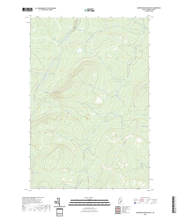
 1989 Hardwood Mountain SE1989 Print · USGSThe Maine North Woods in the late 1980s are captured here during a period of active timber management and private road expansion. You can trace the winding St John River and locate industrial landmarks like the Sand and Gravel Pits and forest Gate.
 - 1989 Map of Hardwood Mountain SW
 1989 Hardwood Mountain SW1989 Print · USGSThe international border between Maine and Quebec in the late 1980s is defined by the winding Southwest Branch St John River. Researchers can trace the logging infrastructure of this remote area through markers like the Barriere and Gravel Pits that supported the wilderness roads.
 - 1993 Map of Lac Etchemin
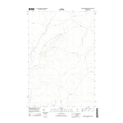
 1993 Lac Etchemin1993 Print · USGSThe borderlands of Maine and Quebec in the 1990s are defined here by the international boundary cutting through dense timberlands and the Beauce valley. Researchers can trace the Port of Entry near the Saint John River Southwest Branch and explore the layouts of Beauceville and Lac-Etchemin.
 - 2011 Map of Hardwood Mountain SE, 2011 Print
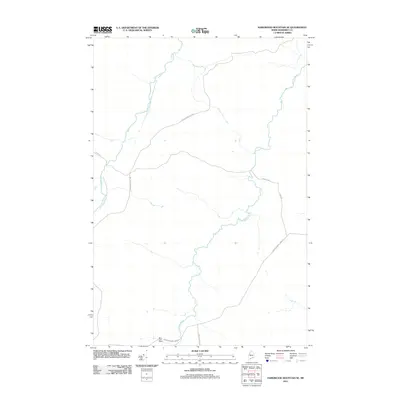 2011 Hardwood Mountain SE2011 Print · USGSCovers T8 R19 WELS, including T7 R18 WELS, T7 R19 WELS, and other nearby areas
 - 2011 Map of Hardwood Mountain, 2011 Print
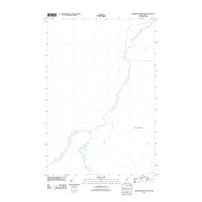 2011 Hardwood Mountain2011 Print · USGSCovers T8 R19 WELS, including Saint-Just-de-Bretenières, T9 R18 WELS, and other nearby areas
 - 2011 Map of Hardwood Mountain SW, 2011 Print
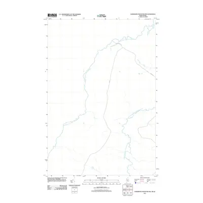 2011 Hardwood Mountain SW2011 Print · USGSCovers T8 R19 WELS, including Saint-Louis-de-Gonzague, T7 R19 WELS, and other nearby areas
 - 2011 Map of Hardwood Mountain OE W, 2011 Print
 2011 Hardwood Mountain OE W2011 Print · USGSCovers T8 R19 WELS, including Sainte-Justine, Saint-Camille-de-Lellis, and other nearby areas
 - 2014 Map of Hardwood Mountain, 2014 Print
 2014 Hardwood Mountain2014 Print · USGSCovers T8 R19 WELS, including Saint-Just-de-Bretenières, T9 R18 WELS, and other nearby areas
 - 2014 Map of Hardwood Mountain SE, 2014 Print
 2014 Hardwood Mountain SE2014 Print · USGSCovers T8 R19 WELS, including T7 R18 WELS, T7 R19 WELS, and other nearby areas
 - 2014 Map of Hardwood Mountain OE W, 2014 Print
 2014 Hardwood Mountain OE W2014 Print · USGSCovers T8 R19 WELS, including Sainte-Justine, Saint-Camille-de-Lellis, and other nearby areas
 - 2014 Map of Hardwood Mountain SW, 2014 Print
 2014 Hardwood Mountain SW2014 Print · USGSCovers T8 R19 WELS, including Saint-Louis-de-Gonzague, T7 R19 WELS, and other nearby areas
 - 2018 Map of Hardwood Mountain SE, 2018 Print
 2018 Hardwood Mountain SE2018 Print · USGSCovers T8 R19 WELS, including T7 R18 WELS, T7 R19 WELS, and other nearby areas
 - 2018 Map of Hardwood Mountain OE W, 2018 Print
 2018 Hardwood Mountain OE W2018 Print · USGSCovers T8 R19 WELS, including Sainte-Justine, Saint-Camille-de-Lellis, and other nearby areas
 - 2018 Map of Hardwood Mountain, 2018 Print
 2018 Hardwood Mountain2018 Print · USGSCovers T8 R19 WELS, including Saint-Just-de-Bretenières, T9 R18 WELS, and other nearby areas
 - 2018 Map of Hardwood Mountain SW, 2018 Print
 2018 Hardwood Mountain SW2018 Print · USGSCovers T8 R19 WELS, including Saint-Louis-de-Gonzague, T7 R19 WELS, and other nearby areas
 - 2021 Map of Hardwood Mountain SE, 2021 Print
 2021 Hardwood Mountain SE2021 Print · USGSCovers T8 R19 WELS, including T7 R18 WELS, T7 R19 WELS, and other nearby areas
 - 2021 Map of Hardwood Mountain, 2021 Print
 2021 Hardwood Mountain2021 Print · USGSCovers T8 R19 WELS, including Saint-Just-de-Bretenières, T9 R18 WELS, and other nearby areas
 - 2021 Map of Hardwood Mountain OE W, 2021 Print
 2021 Hardwood Mountain OE W2021 Print · USGSCovers T8 R19 WELS, including Sainte-Justine, Saint-Camille-de-Lellis, and other nearby areas
 - 2021 Map of Hardwood Mountain SW, 2021 Print
 2021 Hardwood Mountain SW2021 Print · USGSCovers T8 R19 WELS, including Saint-Louis-de-Gonzague, T7 R19 WELS, and other nearby areas
 - 2024 Map of Hardwood Mountain SE, 2024 Print
 2024 Hardwood Mountain SE2024 Print · USGSSomerset County’s northern woods appear in this recent survey as a landscape of commercial timberlands and winding waterways. Genealogists and historians can trace the access routes of the logging industry along Saint Aurelie Rd and the banks of Brailey Brook.
 - 2024 Map of Hardwood Mountain, 2024 Print
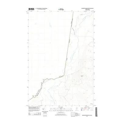
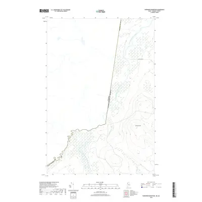
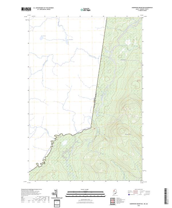 2024 Hardwood Mountain2024 Print · USGSThe international border in Somerset County follows the rugged highlands and remote headwaters during the 2020s. Trace the path of the Southwest Branch Saint John River and family-named landmarks like Hardwood Mtn or Carter Brook Rd.
Showing maps 1-25 of 27
Frequently asked questions
- What are the different types of historical maps available for T8 R19 WELS?
- What is the oldest map of T8 R19 WELS?
- Where can I purchase historical maps of T8 R19 WELS for my home or office?
- Where can I download high-res historical maps of T8 R19 WELS?
- Are there historical topographic maps available for T8 R19 WELS?
- Is there historical aerial imagery available for T8 R19 WELS?
- Where are historical maps of T8 R19 WELS sourced from?