Old Maps of Berry Township, Maine for Genealogy
Trace your family roots with 33 historic maps of Berry Township. These high-res maps reveal old neighborhoods, homesites, landmarks, and streets — helping you uncover where your ancestors lived and how the area evolved over time.
- Explore historic neighborhoods: Identify where your relatives may have lived in the 1800s or 1900s.
- Compare maps over time: Trace the changes in streets, buildings, and landmarks for multi-generational research.
- Perfect for genealogy & ancestry research: Used by family historians and researchers to map out lineage and migration.
These maps are an incredible resource for exploring your personal connection to Berry Township's past.
Berry Township, ME maps
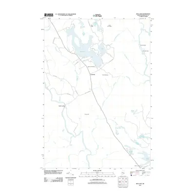
(33)- 1941 Map of Wesley, 1956 Print
 1941 Wesley1956 Print · USGSWashington County’s interior woods and riverways appear here as they were surveyed just before the war. You can trace the path of the Air Line road and locate landmarks like the Lower Wesley Sch, Joe Hanscom Heath, and Smith Landing.3 unique versions available
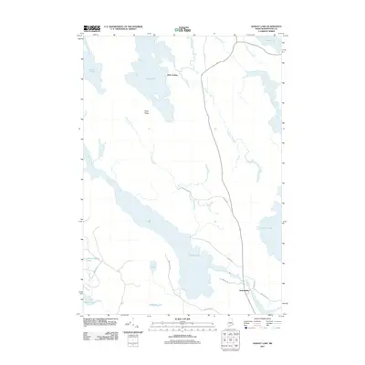
 - 1941 Map of Gardner Lake, 1958 Print
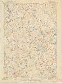
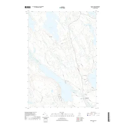
 1941 Gardner Lake1958 Print · USGSWashington County during the early 1940s was a landscape of remote timberlands and tight-knit settlements along the Maine Central line. Genealogists and historians can locate rural schoolhouses like Gardner Lake Sch and vanished local hubs such as Chase Mills and Halls Mills.3 unique versions available
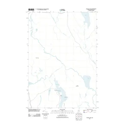
 - 1943 Map of Wesley
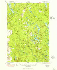
 1943 Wesley1943 Print · USGSWashington County during the early 1940s was defined by its timberlands and the winding Machias River. Genealogists and local historians can trace family locations and rural landmarks like Mattimo Place, the Northfield Sch, and the hilltop Firetower.2 unique versions available
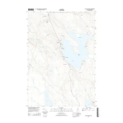
 - 1943 Map of Gardner Lake
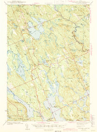 1943 Gardner Lake1943 Print · USGSWashington County's lake-country comes alive in this early 1940s survey, showing a landscape of remote mills and scattered schoolhouses. Researchers can trace family sites near Marion or locate old landmarks like the Gardner Lake Sch and the firetower on Cooper Hill.3 unique versions available
 - 1961 Map of Eastport
 1961 Eastport1961 Print · USGSThe maritime borderlands of Maine and New Brunswick are captured here in the early sixties, showing a world defined by the Bay of Fundy. Researchers can trace the Maine Central Railroad to Machiasport or explore remote island villages like Grand Harbour and Welchpool.
 - 1969 Map of Eastport
 1969 Eastport1969 Print · USGSThe maritime borderlands of Washington County and New Brunswick appear in detail during the late sixties. Researchers can trace historic rail lines like the Maine Central Railroad and explore coastal settlements from Machias to St. Andrews.
 - 1976 Map of Eastport
 1976 Eastport1976 Print · USGSThe maritime borderlands of Maine and Nova Scotia come alive in this mid-seventies survey of the Downeast coast. Genealogists and historians can trace the shoreline settlements of Eastport, Lubec, and Machias, or cross the channel to find Acadian villages like Church Point and Meteghan Centre.
 - 1985 Map of Machias, 1986 Print
 1985 Machias1986 Print · USGSThe Downeast coast of Maine in the 1980s reveals a landscape of deep-water bays, tidal rivers, and isolated timberlands. Researchers can trace the Maine Central rail line and locate coastal landmarks from Leighton Point to the U.S. Naval Radio Station.
 - 1987 Map of Lake Cathance, 1988 Print
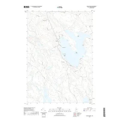
 1987 Lake Cathance1988 Print · USGSThe interior lakes and timberlands of Washington County are captured here in the late eighties. Researchers can trace land divisions across Cooper and No 14 Plt or locate family landmarks like Conner Hill and Provost Island.
 - 1987 Map of Hadley Lake, 1988 Print
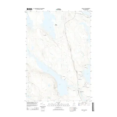
 1987 Hadley Lake1988 Print · USGSCoastal Washington County's interior is captured in the late eighties, showing a landscape of glacial lakes and interconnected waterways. Researchers can locate the village of Jacksonville and trace the drainage of Hadley Lake into the East Machias River.
 - 1990 Map of Bog Lake
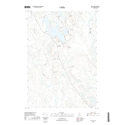
 1990 Bog Lake1990 Print · USGSThe interior of Washington County comes into focus in the 1990s, where the winding Machias River meets a vast system of glacial ponds and ridges. Historians can trace the local water economy through features like Bobsled Rips, Smith Landing, and the Cem at Northfield.
 - 1990 Map of Round Lake
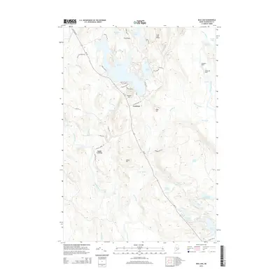
 1990 Round Lake1990 Print · USGSWashington County’s river-and-lake wilderness is captured here in the late twentieth century, showing a landscape shaped by water and woods. Genealogists and historians can trace family-named landmarks like Joe Hanscom Heath, Talbot Ridge, and Munson Rips.
 - 1994 Map of Machias
 1994 Machias1994 Print · USGSThe Downeast coast of Maine in the 1990s is captured here, from the Narraguagus River to the Canadian border. Genealogists and historians can trace coastal settlements like Jonesboro and Addison or locate the U.S. Naval Radio Station and Moosehorn National Wildlife Refuge.
 - 2011 Map of Lake Cathance, 2011 Print
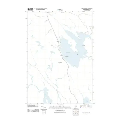 2011 Lake Cathance2011 Print · USGSCovers Berry Township, including Cooper, Meddybemps, and other nearby areas
 - 2011 Map of Bog Lake, 2011 Print
 2011 Bog Lake2011 Print · USGSCovers Berry Township, including East Machias, Marshfield, and other nearby areas
 - 2011 Map of Hadley Lake, 2011 Print
 2011 Hadley Lake2011 Print · USGSCovers Berry Township, including East Machias, Marshfield, and other nearby areas
 - 2011 Map of Round Lake, 2011 Print
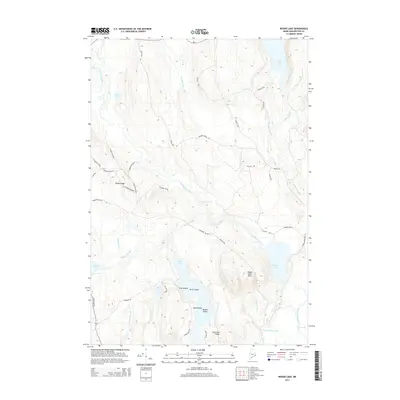
 2011 Round Lake2011 Print · USGSCovers Berry Township, including Northfield, Wesley, and other nearby areas
 - 2014 Map of Lake Cathance, 2014 Print
 2014 Lake Cathance2014 Print · USGSCovers Berry Township, including Cooper, Meddybemps, and other nearby areas
 - 2014 Map of Bog Lake, 2014 Print
 2014 Bog Lake2014 Print · USGSCovers Berry Township, including East Machias, Marshfield, and other nearby areas
 - 2014 Map of Hadley Lake, 2014 Print
 2014 Hadley Lake2014 Print · USGSCovers Berry Township, including East Machias, Marshfield, and other nearby areas
 - 2014 Map of Round Lake, 2014 Print
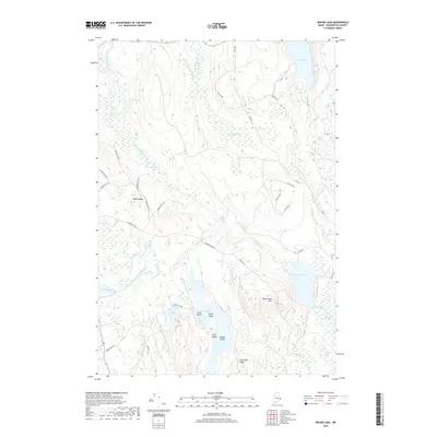
 2014 Round Lake2014 Print · USGSCovers Berry Township, including Northfield, Wesley, and other nearby areas
 - 2018 Map of Round Lake, 2018 Print
 2018 Round Lake2018 Print · USGSCovers Berry Township, including Northfield, Wesley, and other nearby areas
 - 2018 Map of Hadley Lake, 2018 Print
 2018 Hadley Lake2018 Print · USGSCovers Berry Township, including East Machias, Marshfield, and other nearby areas
 - 2018 Map of Lake Cathance, 2018 Print
 2018 Lake Cathance2018 Print · USGSCovers Berry Township, including Cooper, Meddybemps, and other nearby areas
 - 2018 Map of Bog Lake, 2018 Print
 2018 Bog Lake2018 Print · USGSCovers Berry Township, including East Machias, Marshfield, and other nearby areas
Showing maps 1-25 of 33
Top cities near Berry Township
- Calais historical maps
- Machias historical maps
- East Machias historical maps
- Baileyville historical maps
- Addison historical maps
- Machiasport historical maps
See more
Top neighborhoods of Berry Township
Frequently asked questions
- What are the different types of historical maps available for Berry Township?
- What is the oldest map of Berry Township?
- Where can I purchase historical maps of Berry Township for my home or office?
- Where can I download high-res historical maps of Berry Township?
- Are there historical topographic maps available for Berry Township?
- Is there historical aerial imagery available for Berry Township?
- Where are historical maps of Berry Township sourced from?