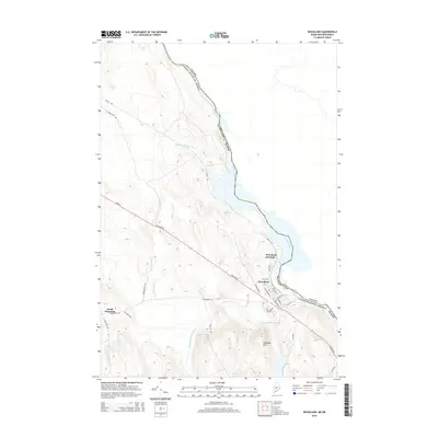
2000s (21st Century) Maps of Princeton, Maine
Explore 25 historic maps of Princeton from the 2000s (21st Century). These maps offer a rare glimpse into what life looked like during the 2000s — showing old roads, neighborhoods, homes, and landmarks that have changed or disappeared over time.
Whether you're researching your family's past, planning a metal detecting trip, or studying how Princeton's landscape evolved across the 2000s, these high-resolution maps are a powerful tool for exploring the history of this region.
- Focus on a specific era: All maps on this page are from the 2000s, giving you a focused view of this time period.
- See what’s changed: Compare century-old streets, trails, and buildings to today's modern landscape using overlays and satellite layers.
- Research with precision: Use these maps for genealogy, historical research, land use analysis, or educational projects.
- View, download, or print: Maps are fully viewable online in high resolution, and can be downloaded or printed for your own records.
Start exploring Princeton's history through authentic maps from the 2000s. This is your window into the past.
Princeton, ME maps
(25)- 2011 Map of Princeton, 2011 Print
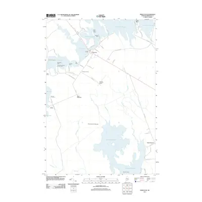 2011 Princeton2011 Print · USGSCovers Princeton, including Baileyville, Alexander, and other nearby areas
 - 2011 Map of Crawford Lake, 2011 Print
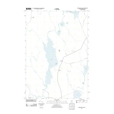 2011 Crawford Lake2011 Print · USGSCovers Princeton, including Alexander, Cooper, and other nearby areas
 - 2011 Map of Tomah Ridge, 2011 Print
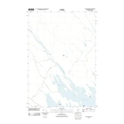 2011 Tomah Ridge2011 Print · USGSCovers Princeton, including Baileyville, Waite, and other nearby areas
 - 2011 Map of Woodland, 2011 Print
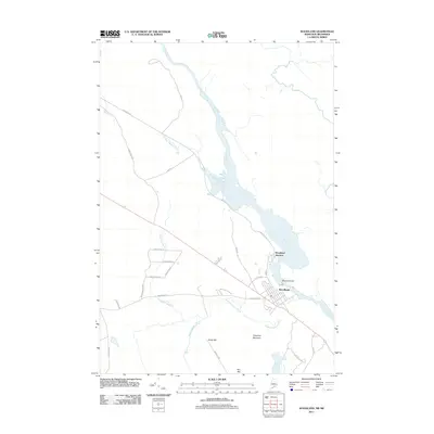 2011 Woodland2011 Print · USGSCovers Princeton, including Baileyville, Alexander, and other nearby areas
 - 2011 Map of Big Lake, 2011 Print
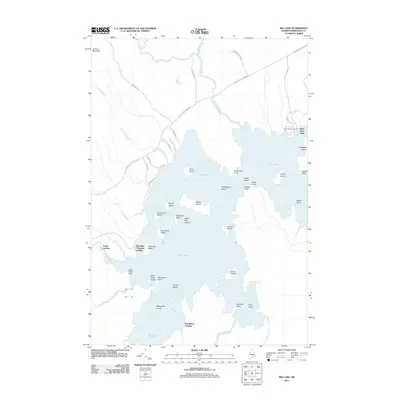 2011 Big Lake2011 Print · USGSCovers Princeton, including Indian Township / Motahkomikuk, Grand Lake Stream, and other nearby areas
 - 2014 Map of Crawford Lake, 2014 Print
 2014 Crawford Lake2014 Print · USGSCovers Princeton, including Alexander, Cooper, and other nearby areas
 - 2014 Map of Tomah Ridge, 2014 Print
 2014 Tomah Ridge2014 Print · USGSCovers Princeton, including Baileyville, Waite, and other nearby areas
 - 2014 Map of Big Lake, 2014 Print
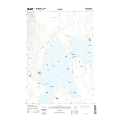 2014 Big Lake2014 Print · USGSCovers Princeton, including Indian Township / Motahkomikuk, Grand Lake Stream, and other nearby areas
 - 2014 Map of Princeton, 2014 Print
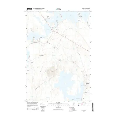 2014 Princeton2014 Print · USGSCovers Princeton, including Baileyville, Alexander, and other nearby areas
 - 2014 Map of Woodland, 2014 Print
 2014 Woodland2014 Print · USGSCovers Princeton, including Baileyville, Alexander, and other nearby areas
 - 2018 Map of Crawford Lake, 2018 Print
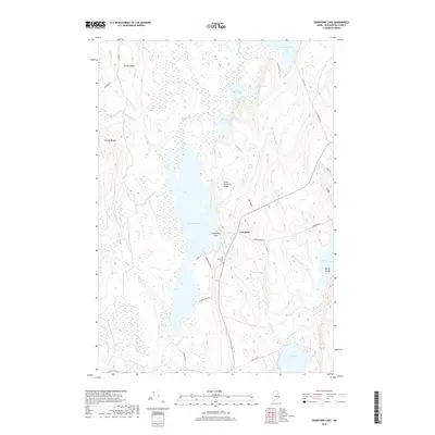 2018 Crawford Lake2018 Print · USGSCovers Princeton, including Alexander, Cooper, and other nearby areas
 - 2018 Map of Tomah Ridge, 2018 Print
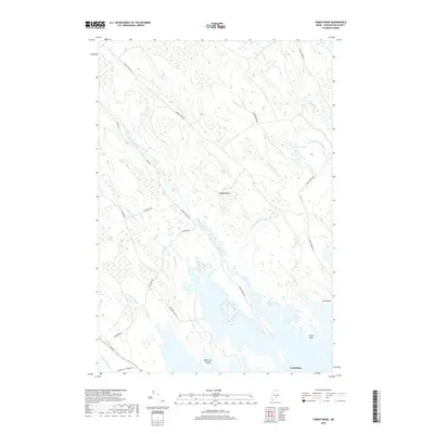 2018 Tomah Ridge2018 Print · USGSCovers Princeton, including Baileyville, Waite, and other nearby areas
 - 2018 Map of Princeton, 2018 Print
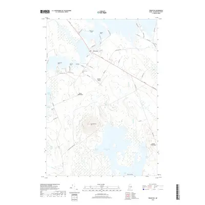 2018 Princeton2018 Print · USGSCovers Princeton, including Baileyville, Alexander, and other nearby areas
 - 2018 Map of Woodland, 2018 Print
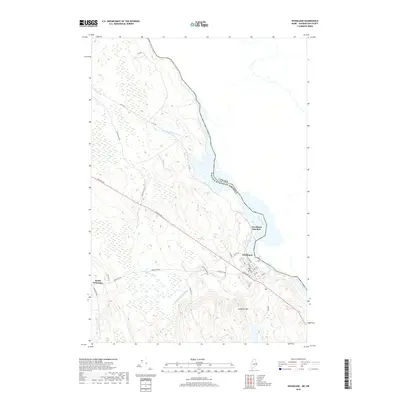 2018 Woodland2018 Print · USGSCovers Princeton, including Baileyville, Alexander, and other nearby areas
 - 2018 Map of Big Lake, 2018 Print
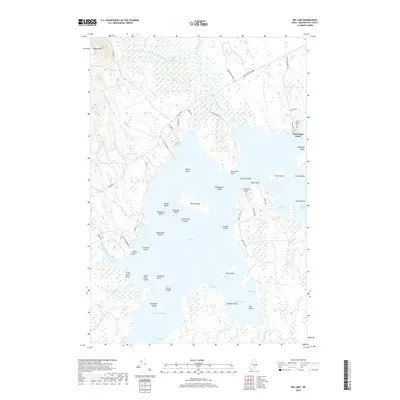 2018 Big Lake2018 Print · USGSCovers Princeton, including Indian Township / Motahkomikuk, Grand Lake Stream, and other nearby areas
 - 2021 Map of Tomah Ridge, 2021 Print
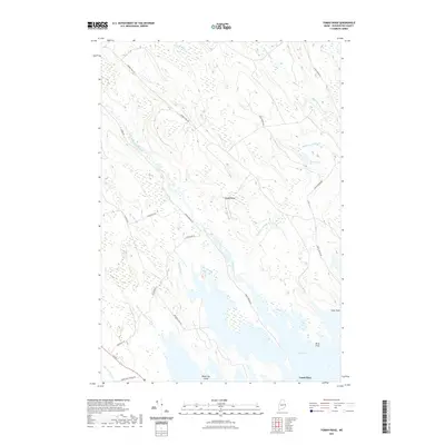 2021 Tomah Ridge2021 Print · USGSCovers Princeton, including Baileyville, Waite, and other nearby areas
 - 2021 Map of Woodland, 2021 Print
 2021 Woodland2021 Print · USGSCovers Princeton, including Baileyville, Alexander, and other nearby areas
 - 2021 Map of Big Lake, 2021 Print
 2021 Big Lake2021 Print · USGSCovers Princeton, including Indian Township / Motahkomikuk, Grand Lake Stream, and other nearby areas
 - 2021 Map of Crawford Lake, 2021 Print
 2021 Crawford Lake2021 Print · USGSCovers Princeton, including Alexander, Cooper, and other nearby areas
 - 2021 Map of Princeton, 2021 Print
 2021 Princeton2021 Print · USGSCovers Princeton, including Baileyville, Alexander, and other nearby areas
 - 2024 Map of Crawford Lake, 2024 Print
 2024 Crawford Lake2024 Print · USGSMaine's lake country in Washington County remains a landscape of connected waters and quiet settlements in the 2020s. Researchers can trace historic family ties at the Old Crawford Cem or locate seasonal camps along Pocomoonshine Lake and Love Lake.
 - 2024 Map of Tomah Ridge, 2024 Print
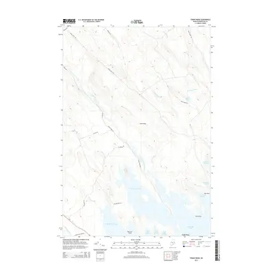
 2024 Tomah Ridge2024 Print · USGSThis Washington County wilderness in the early twenty-first century is defined by its extensive waterways and ridge lines. Researchers can trace the timber and access networks along Telephone Rd and Tomah Stream Rd or locate islands like Black Cat Island in Big Lake.
 - 2024 Map of Big Lake, 2024 Print
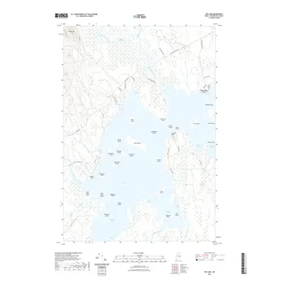
 2024 Big Lake2024 Print · USGSBig Lake and its intricate island network define this Washington County landscape as it appeared in the early 2020s. Researchers can locate the Saint Annes Cem and trace the shores of Peter Dana Point or the remote wetlands of Elijah Brown Heath.
 - 2024 Map of Princeton, 2024 Print
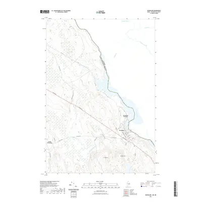
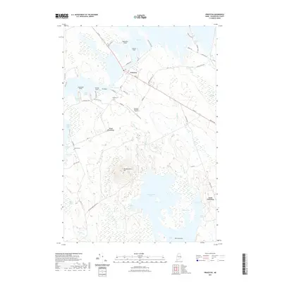
 2024 Princeton2024 Print · USGSThe lakeside community of Princeton and its surrounding heaths are mapped here in the 2020s. Genealogists and local historians can trace family-named sites across the water and woods, from Lakeview Cem and West Princeton to the high ground of Pocomoonshine Mtn.
 - 2024 Map of Woodland, 2024 Print
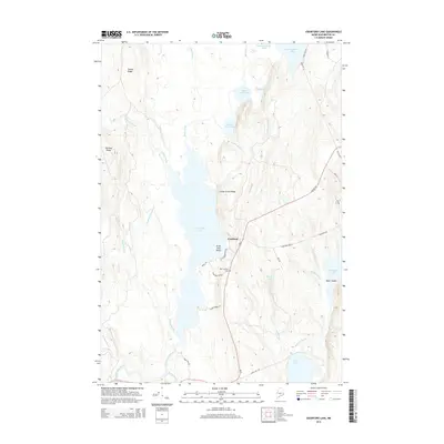
 2024 Woodland2024 Print · USGSThe international border along the St. Croix River defines this Maine landscape in the early twenty-first century. Genealogists can locate family sites at Woodland Cem and South Princeton Cem or trace roads like Houlton Rd.
End of results
Showing maps 1-25 of 25
Top cities near Princeton
- Baileyville historical maps
- Indian Township / Motahkomikuk historical maps
- Alexander historical maps
- Charlotte historical maps
- Baring Plantation historical maps
- Topsfield historical maps
See more
Top neighborhoods of Princeton
Frequently asked questions
- What are the different types of historical maps available for Princeton?
- What is the oldest map of Princeton?
- Where can I purchase historical maps of Princeton for my home or office?
- Where can I download high-res historical maps of Princeton?
- Are there historical topographic maps available for Princeton?
- Is there historical aerial imagery available for Princeton?
- Where are historical maps of Princeton sourced from?