2020s Maps of Trescott Township, Maine
Explore 12 historic maps of Trescott Township from the 2020s. These maps offer a rare glimpse into what life looked like during the 2020s — showing old roads, neighborhoods, homes, and landmarks that have changed or disappeared over time.
Whether you're researching your family's past, planning a metal detecting trip, or studying how Trescott Township's landscape evolved across the 2020s, these high-resolution maps are a powerful tool for exploring the history of this region.
- Focus on a specific era: All maps on this page are from the 2020s, giving you a focused view of this time period.
- See what’s changed: Compare century-old streets, trails, and buildings to today's modern landscape using overlays and satellite layers.
- Research with precision: Use these maps for genealogy, historical research, land use analysis, or educational projects.
- View, download, or print: Maps are fully viewable online in high resolution, and can be downloaded or printed for your own records.
Start exploring Trescott Township's history through authentic maps from the 2020s. This is your window into the past.
Trescott Township, ME maps
(12)- 2021 Map of Pembroke, 2021 Print
 2021 Pembroke2021 Print · USGSCovers Trescott Township, including Perry, Pembroke, and other nearby areas
 - 2021 Map of Whiting, 2021 Print
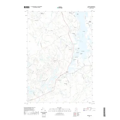 2021 Whiting2021 Print · USGSCovers Trescott Township, including Cutler, Whiting, and other nearby areas
 - 2021 Map of Cutler, 2021 Print
 2021 Cutler2021 Print · USGSCovers Trescott Township, including Cutler, Whiting, and other nearby areas
 - 2021 Map of Moose River, 2021 Print
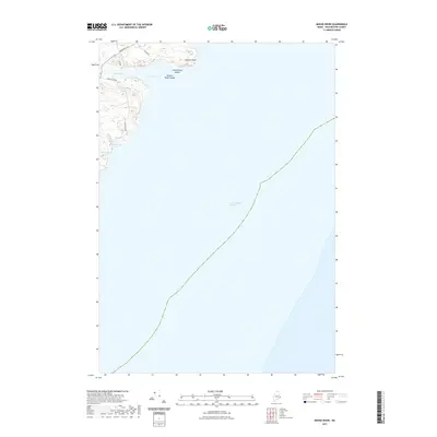 2021 Moose River2021 Print · USGSCovers Trescott Township, including Lubec, Cutler, and other nearby areas
 - 2021 Map of West Lubec, 2021 Print
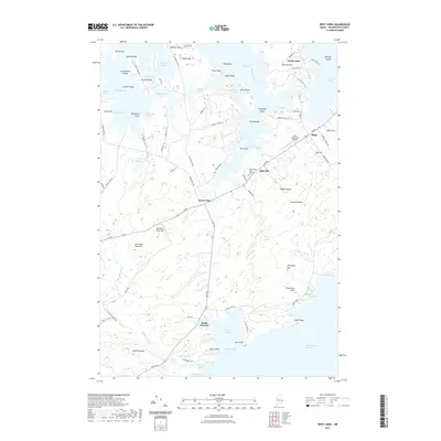 2021 West Lubec2021 Print · USGSCovers Trescott Township, including Lubec, South Trescott, and other nearby areas
 - 2021 Map of Eastport, 2021 Print
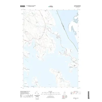 2021 Eastport2021 Print · USGSCovers Trescott Township, including Eastport, Lubec, and other nearby areas
 - 2024 Map of Cutler, 2024 Print
 2024 Cutler2024 Print · USGSThe Washington County coast remains a landscape of deep-water harbors and heathlands in this modern survey. Genealogists can trace family footprints near Old Cutler Cem or follow the shoreline from Cutler Harbor to the point at Fairy Head.
 - 2024 Map of Pembroke, 2024 Print
 2024 Pembroke2024 Print · USGSCoastal Washington County is captured here at the intersection of river estuaries and the Atlantic, highlighting the transition from tidal bays to inland hills. Genealogists can trace family names and sites at Forest Hill Cem, Dennysville, and West Pembroke.
 - 2024 Map of Whiting, 2024 Print
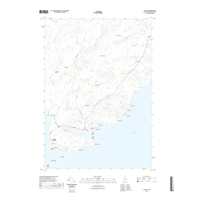
 2024 Whiting2024 Print · USGSThe Washington County coast is shown here in its modern form, balancing maritime settlements with vast protected wilderness. Researchers can trace land use from the Whiting village center out to family landmarks at Crow Neck and the Crane Mill Brook Reservoir.
 - 2024 Map of Eastport, 2024 Print
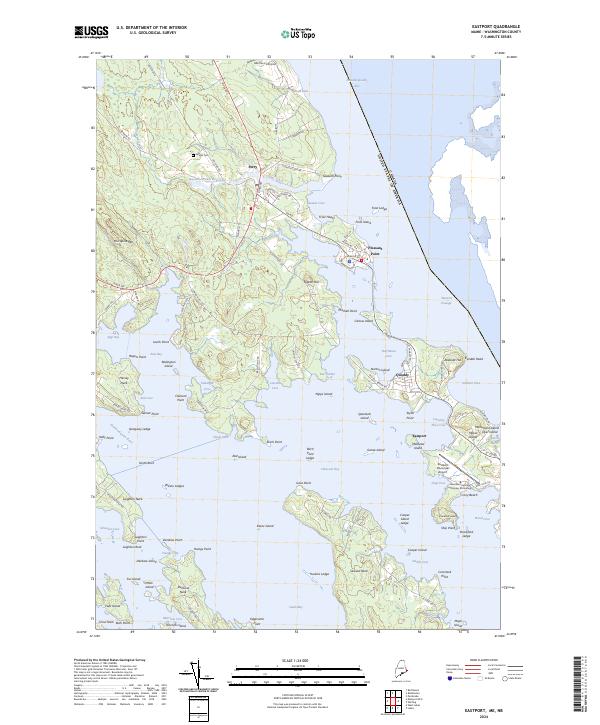 2024 Eastport2024 Print · USGSThe eastern coast of Washington County is shown here at the edge of the international border in the early twenty-first century. Researchers can trace family sites near Leland Cem, the community of Pleasant Point, and the busy waterfront of Eastport.
 - 2024 Map of West Lubec, 2024 Print
 2024 West Lubec2024 Print · USGSCoastal Washington County is shown here in the 2020s, where the peninsulas around North Lubec meet the Grand Manan Channel. Local historians can trace family lineages at the Congdon Cem and Dunn Cem or explore the rugged shoreline of Baileys Mistake.
 - 2024 Map of Moose River, 2024 Print
 2024 Moose River2024 Print · USGSThe Maine coast along the Grand Manan Channel appears here in its modern maritime context. Researchers can trace the rugged shoreline from Eastern Head down to Bog Brook Cove and the waters of the Moose River.
End of results
Showing maps 1-12 of 12
Top cities near Trescott Township
- Eastport historical maps
- Lubec historical maps
- Perry historical maps
- Pembroke historical maps
- Pleasant Point / Sipayik historical maps
- Cutler historical maps
See more
Top neighborhoods of Trescott Township
Frequently asked questions
- What are the different types of historical maps available for Trescott Township?
- What is the oldest map of Trescott Township?
- Where can I purchase historical maps of Trescott Township for my home or office?
- Where can I download high-res historical maps of Trescott Township?
- Are there historical topographic maps available for Trescott Township?
- Is there historical aerial imagery available for Trescott Township?
- Where are historical maps of Trescott Township sourced from?