Old Maps of Cornish, Maine for Metal Detecting
Plan your next treasure hunt with 27 historic maps of Cornish. Find old homesites, ghost towns, trails, and gathering spots that may be lost to time — perfect for identifying promising metal detecting locations.
- Locate forgotten sites: Uncover places like long-lost settlements, abandoned rail lines, or gathering spots.
- Plan better hunts: Use map overlays combined with LiDAR or satellite views to narrow in on historically rich areas.
- Made for detectorists: Thousands of hobbyists use these maps to discover relics, coins, and hidden history.
Use these historic maps to boost your research and find new opportunities beneath the surface of Cornish.
Cornish, ME maps
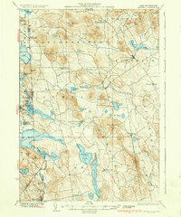
(27)- 1891 Map of Newfield
 1891 Newfield1891 Print · USGSThe York County hill country comes to life in the 1890s, when the region was a tapestry of mill towns and scattered farm hamlets. Researchers can trace the early layout of Limerick, the industry at Ossipee Mills, and the border-spanning waters of Great East Pond.
 - 1893 Map of Newfield
 1893 Newfield1893 Print · USGSMaine's borderlands and the York County interior are captured in the late nineteenth century as small-scale industry thrived along the rivers. Researchers can trace historic family lands near Great East Pond or study the early village layouts of Ossipee Mills, South Parsonsfield, and Maplewood.6 unique versions available
 - 1910 Map of Kezar Falls
 1910 Kezar Falls1910 Print · USGSMaine and New Hampshire borderlands are captured here at the height of the railroad era, as the Maine Central linked river towns. Genealogists can trace family footprints through sites like the Parsonsfield Seminary, Merrill Corner, and the Haley School.5 unique versions available
 - 1911 Map of Kezar Falls
 1911 Kezar Falls1911 Print · USGSThe Saco River valley at the turn of the century shows a landscape defined by riverside industry and mountain schools. Genealogists and historians can trace rail depots like Bridgton Junction and early landmarks such as Parsonsfield Seminary and Rankins Mill.5 unique versions available
 - 1933 Map of Newfield
 1933 Newfield1933 Print · USGSThe Maine-New Hampshire borderlands in the early 1930s are captured here as a series of connected lakeside settlements. Trace family roots and old property lines near Milton Mills, Spinney Church, and the shores of Great East Lake.
 - 1937 Map of Newfield
 1937 Newfield1937 Print · USGSThe Maine and New Hampshire borderlands are captured here during the late 1930s, showing a landscape defined by riverside villages and glacial lakes. Genealogists and historians can trace family locations near Ossipee Mills, Spuney Ch, and the many hamlets of Parsonsfield.3 unique versions available
 - 1942 Map of Newfield, 1959 Print
 1942 Newfield1959 Print · USGSThe Maine and New Hampshire borderlands come to life in the early 1940s, showing a network of mill towns and mountain peaks. Researchers can trace family lines through small settlements like South Parsonsfield, locate the Spinney Ch, or explore the shores of Great East Lake and Mousam Lake.
 - 1944 Map of Newfield
 1944 Newfield1944 Print · USGSYork County and the New Hampshire borderlands are captured here during the mid-1940s, showing a landscape of mill towns and interconnected lakes. Genealogists and historians can trace family-named sites like Dearborn Mtn and Stevens Cor or explore the early layouts of Limerick and Milton Mills.2 unique versions available
 - 1949 Map of Portland
 1949 Portland1949 Print · USGSCoastal Maine and the New Hampshire interior are shown in detail during the late forties, from the bustling harbors to the lakeside villages. Researchers can trace historical rail networks like the Boston & Maine RR and locate coastal defenses such as Fort Preble.3 unique versions available
 - 1956 Map of Portland, 1963 Print
 1956 Portland1963 Print · USGSSouthern Maine and eastern New Hampshire are captured here in the mid-fifties, during a time of major highway expansion and military growth. You can trace the path of the Maine Turnpike and locate landmarks like the Portsmouth Naval Shipyard and Sebago Lake.4 unique versions available
 - 1958 Map of Newfield, 1961 Print
 1958 Newfield1961 Print · USGSThe Maine-New Hampshire borderlands in the late fifties show a landscape of interconnected glacial lakes and upland settlements. Genealogists and historians can trace family-named sites like Stevens Corner, the Shapleigh Mem Sch Cem, and industrial relics at Limerick Mills.5 unique versions available
 - 1959 Map of Portland
 1959 Portland1959 Print · USGSThe Maine and New Hampshire coastlines meet in this mid-century portrait of maritime commerce and inland rail networks. Researchers can trace the legacy of coastal defense at Fort Williams and follow the historic path of the Maine Central RR through the White Mountain National Forest.2 unique versions available
 - 1963 Map of Portland
 1963 Portland1963 Print · USGSCoastal Maine and New Hampshire thrived as maritime and industrial hubs during the mid-sixties, linked by a dense network of rail and river. Researchers can trace historic transit corridors like the Maine Central RR and locate key sites such as the Portsmouth Naval Shipyard or Pease Air Force Base.3 unique versions available
 - 1964 Map of Cornish, 1966 Print
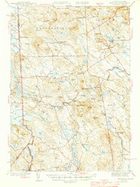
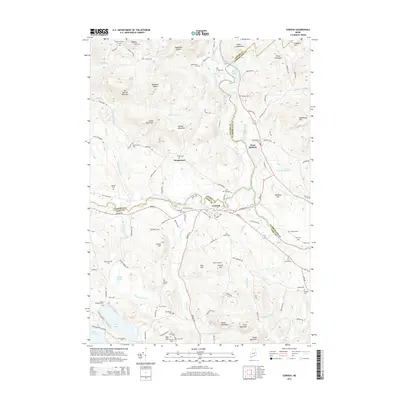
 1964 Cornish1966 Print · USGSThe river valleys of York and Cumberland counties come alive in the mid-1960s as timber and rail lines define the landscape. Trace ancestral roots through dozens of family burial grounds like Riverside Cem or locate former landmarks like the Drive-in Theater and the Fairgrounds.3 unique versions available
 - 1975 Map of Cornish, 1979 Print
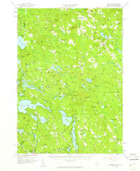
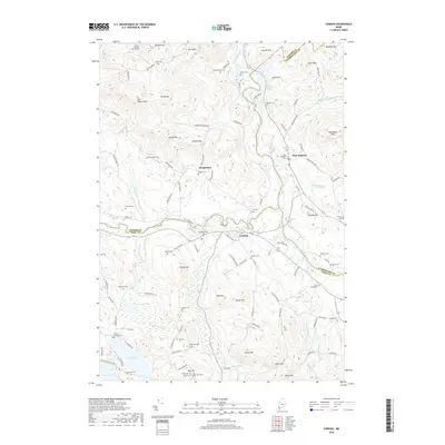
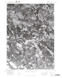 1975 Cornish1979 Print · USGSMaine's river-valley communities are captured in this mid-seventies aerial survey of York County. Researchers can trace land use patterns near Cornish and the winding banks of the Saco River and Ossipee River.
 - 1983 Map of Limerick, 1984 Print
 1983 Limerick1984 Print · USGSYork County's interior hills and river valleys are captured here in the early 1980s, revealing a landscape of small mill towns and glacial lakes. Genealogists and local historians can locate Highland Cem, the namesake Limerick Mills, and rural crossroads like Emerys Corner.2 unique versions available
 - 1985 Map of Portland, 1986 Print
 1985 Portland1986 Print · USGSThe Maine coast and Sebago Lake region are captured in the mid-1980s, showcasing the transition from traditional maritime centers to a modern transportation hub. Genealogists and historians can trace rail lines like the Grand Trunk RR and find local landmarks such as the U.S. Marine Hospital or Old Orchard Beach.2 unique versions available
 - 2011 Map of Cornish, 2011 Print
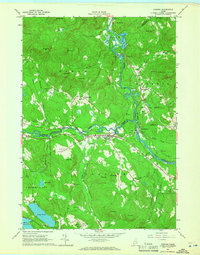
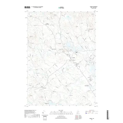
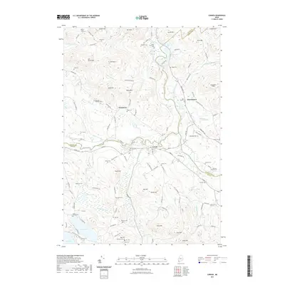
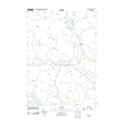 2011 Cornish2011 Print · USGSCovers Cornish, including Limington, Limerick, and other nearby areas
 - 2011 Map of Limerick, 2011 Print
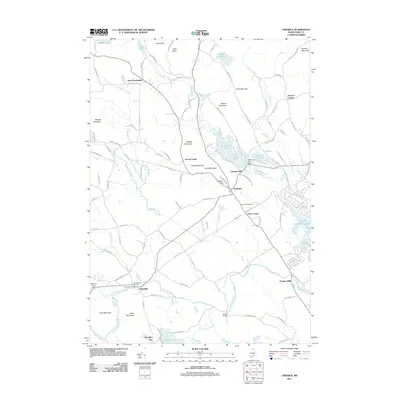 2011 Limerick2011 Print · USGSCovers Cornish, including Waterboro, Limington, and other nearby areas
 - 2014 Map of Limerick, 2014 Print
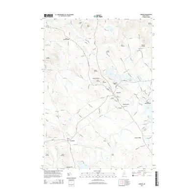 2014 Limerick2014 Print · USGSCovers Cornish, including Waterboro, Limington, and other nearby areas
 - 2014 Map of Cornish, 2014 Print
 2014 Cornish2014 Print · USGSCovers Cornish, including Limington, Limerick, and other nearby areas
 - 2018 Map of Cornish, 2018 Print
 2018 Cornish2018 Print · USGSCovers Cornish, including Limington, Limerick, and other nearby areas
 - 2018 Map of Limerick, 2018 Print
 2018 Limerick2018 Print · USGSCovers Cornish, including Waterboro, Limington, and other nearby areas
 - 2021 Map of Limerick, 2021 Print
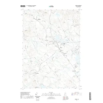 2021 Limerick2021 Print · USGSCovers Cornish, including Waterboro, Limington, and other nearby areas
 - 2021 Map of Cornish, 2021 Print
 2021 Cornish2021 Print · USGSCovers Cornish, including Limington, Limerick, and other nearby areas
Showing maps 1-25 of 27
Top cities near Cornish
- Standish historical maps
- Buxton historical maps
- Waterboro historical maps
- Bridgton historical maps
- Wakefield historical maps
- Hollis historical maps
See more
Frequently asked questions
- What are the different types of historical maps available for Cornish?
- What is the oldest map of Cornish?
- Where can I purchase historical maps of Cornish for my home or office?
- Where can I download high-res historical maps of Cornish?
- Are there historical topographic maps available for Cornish?
- Is there historical aerial imagery available for Cornish?
- Where are historical maps of Cornish sourced from?