2000s (21st Century) Maps of Parsonsfield, Maine
Explore 20 historic maps of Parsonsfield from the 2000s (21st Century). These maps offer a rare glimpse into what life looked like during the 2000s — showing old roads, neighborhoods, homes, and landmarks that have changed or disappeared over time.
Whether you're researching your family's past, planning a metal detecting trip, or studying how Parsonsfield's landscape evolved across the 2000s, these high-resolution maps are a powerful tool for exploring the history of this region.
- Focus on a specific era: All maps on this page are from the 2000s, giving you a focused view of this time period.
- See what’s changed: Compare century-old streets, trails, and buildings to today's modern landscape using overlays and satellite layers.
- Research with precision: Use these maps for genealogy, historical research, land use analysis, or educational projects.
- View, download, or print: Maps are fully viewable online in high resolution, and can be downloaded or printed for your own records.
Start exploring Parsonsfield's history through authentic maps from the 2000s. This is your window into the past.
Parsonsfield, ME maps
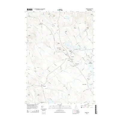
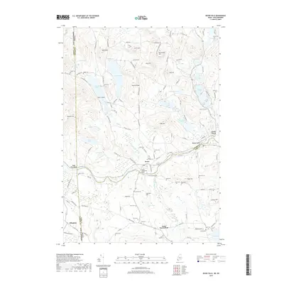
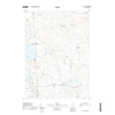
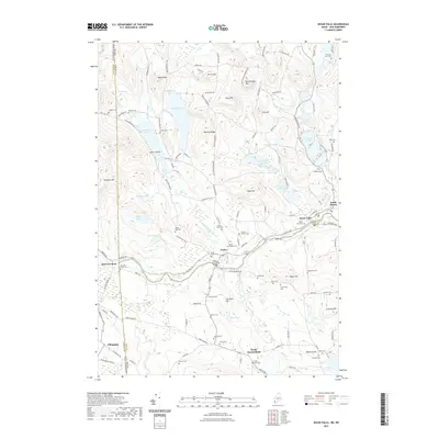
(20)- 2011 Map of Kezar Falls, 2011 Print
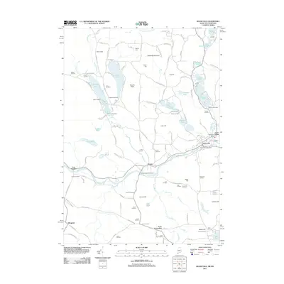 2011 Kezar Falls2011 Print · USGSCovers Parsonsfield, including Effingham, Freedom, and other nearby areas
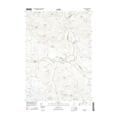
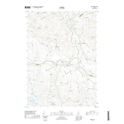
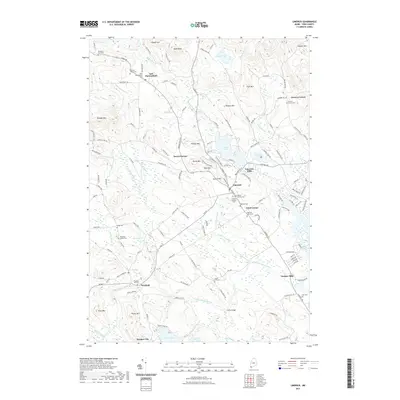
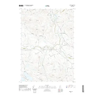
 - 2011 Map of Cornish, 2011 Print
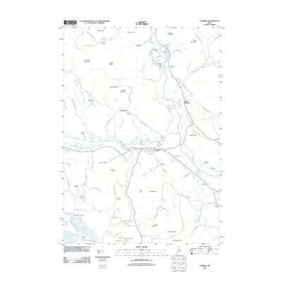 2011 Cornish2011 Print · USGSCovers Parsonsfield, including Limington, Limerick, and other nearby areas
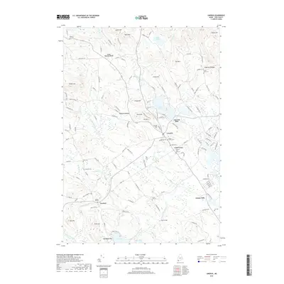
 - 2011 Map of Limerick, 2011 Print
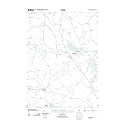 2011 Limerick2011 Print · USGSCovers Parsonsfield, including Waterboro, Limington, and other nearby areas
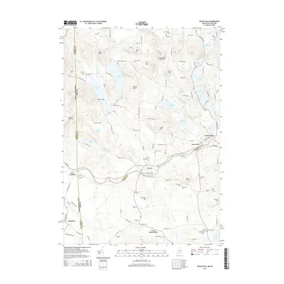
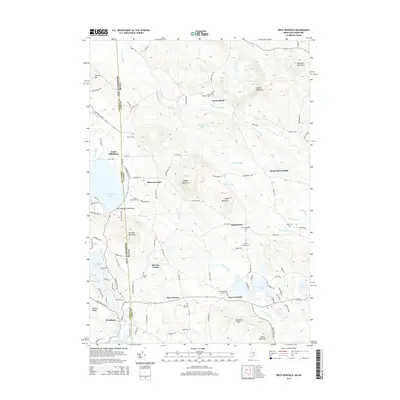
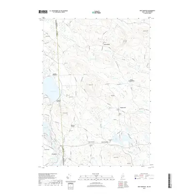
 - 2011 Map of West Newfield, 2011 Print
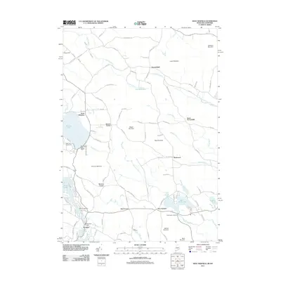 2011 West Newfield2011 Print · USGSCovers Parsonsfield, including Wakefield, Effingham, and other nearby areas
 - 2014 Map of Limerick, 2014 Print
 2014 Limerick2014 Print · USGSCovers Parsonsfield, including Waterboro, Limington, and other nearby areas
 - 2014 Map of Kezar Falls, 2014 Print
 2014 Kezar Falls2014 Print · USGSCovers Parsonsfield, including Effingham, Freedom, and other nearby areas
 - 2014 Map of Cornish, 2014 Print
 2014 Cornish2014 Print · USGSCovers Parsonsfield, including Limington, Limerick, and other nearby areas
 - 2014 Map of West Newfield, 2014 Print
 2014 West Newfield2014 Print · USGSCovers Parsonsfield, including Wakefield, Effingham, and other nearby areas
 - 2018 Map of Kezar Falls, 2018 Print
 2018 Kezar Falls2018 Print · USGSCovers Parsonsfield, including Effingham, Freedom, and other nearby areas
 - 2018 Map of Cornish, 2018 Print
 2018 Cornish2018 Print · USGSCovers Parsonsfield, including Limington, Limerick, and other nearby areas
 - 2018 Map of Limerick, 2018 Print
 2018 Limerick2018 Print · USGSCovers Parsonsfield, including Waterboro, Limington, and other nearby areas
 - 2018 Map of West Newfield, 2018 Print
 2018 West Newfield2018 Print · USGSCovers Parsonsfield, including Wakefield, Effingham, and other nearby areas
 - 2021 Map of West Newfield, 2021 Print
 2021 West Newfield2021 Print · USGSCovers Parsonsfield, including Wakefield, Effingham, and other nearby areas
 - 2021 Map of Kezar Falls, 2021 Print
 2021 Kezar Falls2021 Print · USGSCovers Parsonsfield, including Effingham, Freedom, and other nearby areas
 - 2021 Map of Limerick, 2021 Print
 2021 Limerick2021 Print · USGSCovers Parsonsfield, including Waterboro, Limington, and other nearby areas
 - 2021 Map of Cornish, 2021 Print
 2021 Cornish2021 Print · USGSCovers Parsonsfield, including Limington, Limerick, and other nearby areas
 - 2024 Map of West Newfield, 2024 Print
 2024 West Newfield2024 Print · USGSThe Maine and New Hampshire border comes alive in this study of York and Carroll Counties, showing the rural uplands as they appear today. Genealogists can trace family names through numerous small plots like the Doe Family Graveyard and Jacob L Taylor Cem near West Newfield.
 - 2024 Map of Kezar Falls, 2024 Print
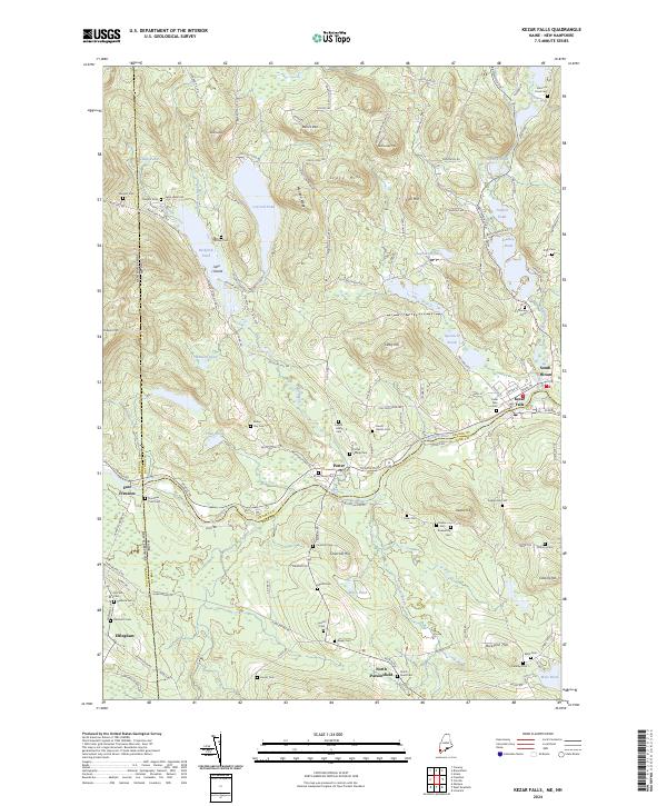 2024 Kezar Falls2024 Print · USGSThe Maine-New Hampshire borderlands come alive in this detailed study of the Ossipee River valley. Genealogists can trace family heritage through numerous burial sites including Porter Village Cem, Sargent Cem, and Cross Street Cem.
 - 2024 Map of Cornish, 2024 Print
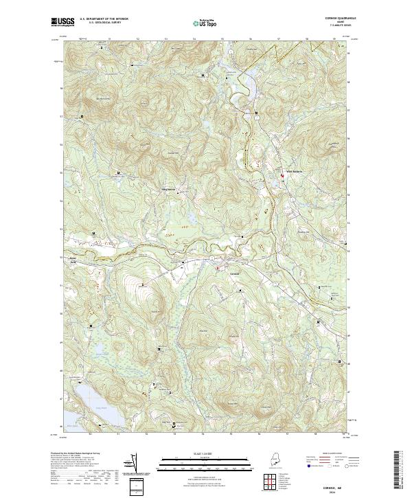 2024 Cornish2024 Print · USGSIn this modern survey of the York County borderlands, the meeting of the Saco River and Ossipee River remains the heart of the region. Researchers can trace dozens of family burial sites including Alexander Wadsworth Cem, Daniel Foster Cem Plot, and Gerrish Cem.
 - 2024 Map of Limerick, 2024 Print
 2024 Limerick2024 Print · USGSYork County's rural townships are documented here in the early twenty-first century, showing a landscape shaped by the Little Ossipee River. Researchers can trace numerous family burial grounds like Eastman-Weeks Cem and historic villages such as Limerick and Newfield.
End of results
Showing maps 1-20 of 20
Top cities near Parsonsfield
- Waterboro historical maps
- Bridgton historical maps
- Wakefield historical maps
- Lyman historical maps
- Milton historical maps
- Ossipee historical maps
See more
Top neighborhoods of Parsonsfield
- North Parsonsfield historical maps
- Roberts Corner historical maps
- South Effingham historical maps
- South Parsonsfield historical maps
- East Parsonsfield historical maps
Frequently asked questions
- What are the different types of historical maps available for Parsonsfield?
- What is the oldest map of Parsonsfield?
- Where can I purchase historical maps of Parsonsfield for my home or office?
- Where can I download high-res historical maps of Parsonsfield?
- Are there historical topographic maps available for Parsonsfield?
- Is there historical aerial imagery available for Parsonsfield?
- Where are historical maps of Parsonsfield sourced from?