Old Maps of Idlewilde, Maryland for Hiking & Exploration
Hike through history with 14 historic maps of Idlewilde. Explore old trails, ghost towns, and forgotten backroads — perfect for outdoor adventurers and local explorers.
- Rediscover forgotten places: Map out old mining camps, roads, and footpaths that no longer exist on modern maps.
- Layer with modern tools: Combine with LiDAR or satellite views to plan hikes through historical terrain.
- Made for exploration: Popular among hikers, overlanders, and local history lovers.
Use these maps to find adventure and explore the hidden past of Idlewilde.
Idlewilde, MD maps
(14)- 1892 Map of Annapolis
 1892 Annapolis1892 Print · USGSMaryland's capital and the surrounding Chesapeake Bay shores appear here during the late Victorian era, before modern bridges linked the coastlines. Genealogists can trace early homesteads and rail lines in Annapolis or explore eastern shore landings like Claiborne and Kent Island.2 unique versions available
 - 1898 Map of Choptank
 1898 Choptank1898 Print · USGSThe Maryland Eastern Shore and its intricate Chesapeake coastline are documented here in the late 1890s. Genealogists can trace family roots in Annapolis or Easton, while maritime historians can locate historic landings such as Corners Wharf and Wye Landing.2 unique versions available
 - 1904 Map of Annapolis
 1904 Annapolis1904 Print · USGSMaryland's capital and the Eastern Shore are captured in detail just after the turn of the century. Genealogists and maritime historians can trace property near Annapolis, the grounds of the U. S. Naval Academy, and remote settlements like Stevensville on Kent Island.5 unique versions available
 - 1908 Map of Choptank
 1908 Choptank1908 Print · USGSMaryland's Eastern Shore and the Chesapeake Bay are captured here at the start of the twentieth century, showing a world of steamships and rail. Genealogists can trace family names at St Michaels, Oxford, and waterfront landings like Claiborne or Arundel on the Bay.5 unique versions available
 - 1948 Map of Washington
 1948 Washington1948 Print · USGSThe Potomac and Chesapeake regions in the late 1940s reveal a landscape of expanding military reach and deep-rooted Tidewater settlements. Trace old rail corridors like the Richmond Fredericksburg & Potomac RR or locate landmarks like the Wakefield Washington Monument and St. Marys College.2 unique versions available
 - 1957 Map of Washington, 1966 Print
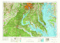 1957 Washington1966 Print · USGSThe mid-Atlantic region during the mid-fifties and early sixties reveals a landscape of growing suburbs and vital military outposts. Researchers can trace historic river towns and shorelines from Alexandria to the Hooper Islands and St Clements Island.5 unique versions available
 - 1961 Map of Washington
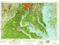 1961 Washington1961 Print · USGSThe mid-Atlantic region in the late fifties is presented in remarkable detail, from the Blue Ridge foothills to the Chesapeake Eastern Shore. Researchers can trace historic river landings and military sites like Mount Vernon, Fort Belvoir, and Point Lookout.2 unique versions available
 - 1983 Map of Washington East, 1984 Print
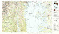 1983 Washington East1984 Print · USGSThe Chesapeake Bay region in the early eighties shows the Maryland capital and its suburbs meeting the maritime traditions of the Eastern Shore. Researchers can trace land patterns from Andrews Air Force Base to waterfront settlements like Oxford and Chesapeake Beach.2 unique versions available
 - 1989 Map of Washington
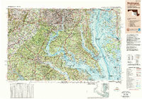 1989 Washington1989 Print · USGSThe Potomac River valley and Chesapeake Bay are shown in comprehensive detail during the late 1980s. Genealogists and historians can trace the transition from urban Alexandria to the rural Northern Neck, locating landmarks like Mount Vernon and Stratford Hall.
 - 2011 Map of Deale OE E, 2011 Print
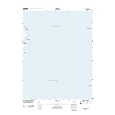 2011 Deale OE E2011 Print · USGSCoastal Anne Arundel County comes into focus in the early 2000s, showing the residential waterfront and open bay. Trace the development of shore communities like Idlewilde, Snug Harbor, and Columbia Beach or locate family property near Kent Point Manor.
 - 2014 Map of Deale OE E, 2014 Print
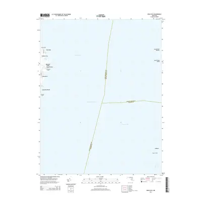 2014 Deale OE E2014 Print · USGSChesapeake Bay maritime life is preserved here in the early twenty-first century, showing the meeting of three Maryland counties over open water. Researchers can trace waterfront communities like Shady Side, Columbia Beach, and the farms near Kent Point Manor.
 - 2016 Map of Deale OE E, 2016 Print
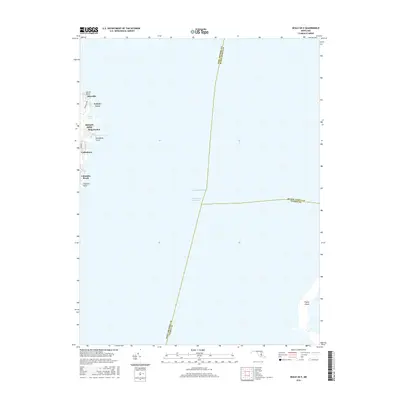 2016 Deale OE E2016 Print · USGSCoastal Maryland at the start of the twenty-first century reveals a landscape defined by the Chesapeake Bay and its waterfront communities. Trace the residential growth of Shady Side and Columbia Beach or locate the tidal reaches of Felicity Cove.
 - 2019 Map of Deale OE E, 2019 Print
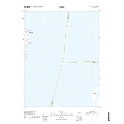 2019 Deale OE E2019 Print · USGSMaryland's western shore and the open waters of the Chesapeake Bay are documented here during the late 2010s. Maritime researchers and local historians can trace shoreline developments like Columbia Beach and Cedarhurst or the path of the Intracoastal Waterway.
 - 2023 Map of Deale OE E, 2023 Print
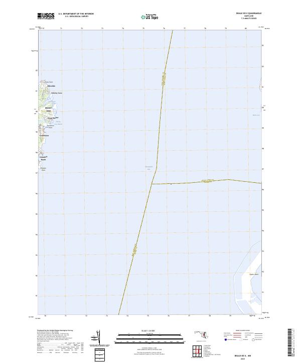 2023 Deale OE E2023 Print · USGSThe western shore of the Chesapeake Bay near Shady Side is shown here in the early 2020s. Genealogists and local historians can trace the modern layout of waterfront communities like Columbia Beach, Snug Harbor, and Idlewilde.
End of results
Showing maps 1-14 of 14
Top cities near Idlewilde
- Bowie historical maps
- Severna Park historical maps
- Annapolis historical maps
- Crofton historical maps
- Arnold historical maps
- Edgewater historical maps
See more
Frequently asked questions
- What are the different types of historical maps available for Idlewilde?
- What is the oldest map of Idlewilde?
- Where can I purchase historical maps of Idlewilde for my home or office?
- Where can I download high-res historical maps of Idlewilde?
- Are there historical topographic maps available for Idlewilde?
- Is there historical aerial imagery available for Idlewilde?
- Where are historical maps of Idlewilde sourced from?