Old Maps of Caves Forest Estates, Maryland for Hiking & Exploration
Hike through history with 31 historic maps of Caves Forest Estates. Explore old trails, ghost towns, and forgotten backroads — perfect for outdoor adventurers and local explorers.
- Rediscover forgotten places: Map out old mining camps, roads, and footpaths that no longer exist on modern maps.
- Layer with modern tools: Combine with LiDAR or satellite views to plan hikes through historical terrain.
- Made for exploration: Popular among hikers, overlanders, and local history lovers.
Use these maps to find adventure and explore the hidden past of Caves Forest Estates.
Caves Forest Estates, MD maps
(31)- 1892 Map of Ellicott
 1892 Ellicott1892 Print · USGSMaryland's rolling Piedmont is mapped here at the end of the nineteenth century, showing a landscape defined by industrial granite quarries and emerging rail corridors. Researchers can trace ancestral roots through dozens of named settlements such as Owings Mills and Randallstown, or locate historic sites like St. Charles College and Shock Mill.
 - 1894 Map of Ellicott
 1894 Ellicott1894 Print · USGSThe Maryland interior at the end of the nineteenth century reveals a landscape defined by the Patapsco River and a growing rail network. Genealogists and historians can trace family roots through settlements like Reisterstown, landmarks like St. Charles College, and industry at the Quarries near Granite.3 unique versions available
 - 1894 Map of Baltimore
 1894 Baltimore1894 Print · USGSMaryland's principal port city and its surrounding country estates are captured in the late nineteenth century as the rail and turnpike networks expanded. Trace the footprints of early landmarks like Cocks Old Tavern, the Marble Quarries, and the fortifications at Ft. Mc. Henry.3 unique versions available
 - 1899 Map of Baltimore
 1899 Baltimore1899 Print · USGSMaryland's principal port city is captured at the close of the nineteenth century as its urban grid begins to push into the surrounding countryside. Genealogists and local historians can trace the early rail stops at Pikesville Sta., the institutional grounds of Sheppard Asylum, and the historic defenses at Fort McHenry.2 unique versions available
 - 1904 Map of Baltimore
 1904 Baltimore1904 Print · USGSMaryland's harbor city and its northern suburbs are shown in great detail shortly after the turn of the century. Genealogists and historians can trace the early growth of Sudbrook Park, the industrial footprint of Ashland Furnace, and the defensive grounds of Fort McHenry.8 unique versions available
 - 1906 Map of Ellicott
 1906 Ellicott1906 Print · USGSCentral Maryland at the turn of the century shows a landscape of institutional growth and heavy rail development. Trace family roots and local history through Reisterstown, the grounds of St Charles College, and Owings Mills.6 unique versions available
 - 1908 Map of Patapsco
 1908 Patapsco1908 Print · USGSMaryland's central corridor at the opening of the twentieth century reveals a dense network of harbor defenses and rail-line economies. Genealogists and historians can trace the foundations of Baltimore alongside local landmarks like Ashland Furnace, St Charles College, and Fort McHenry.4 unique versions available
 - 1943 Map of Cockeysville, 1958 Print
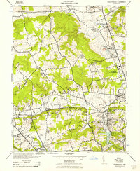 1943 Cockeysville1958 Print · USGSBaltimore County in the early forties shows a landscape of grand estates and burgeoning suburbs along the PENNSYLVANIA railroad. Researchers can locate vanished landmarks like the Eccleston P O or trace early footprints at Druid Ridge Cemetery and Saters Church.
 - 1943 Map of Baltimore, 1963 Print
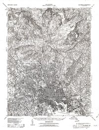 1943 Baltimore1963 Print · USGSMaryland's principal port city and the rolling hills of Baltimore County are shown here during the Second World War. Researchers can trace the heritage of the harbor and northern suburbs, identifying landmarks like Fort McHenry National Mon, Loudon Park National Cem, and the old Ashland Furnace.3 unique versions available
 - 1944 Map of Cockeysville
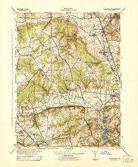 1944 Cockeysville1944 Print · USGSThe northern Baltimore County suburbs were in a period of transition during the mid-forties as rail lines connected established towns with new recreational estates. Genealogists and historians can trace family plots at Druid Ridge Cemetery or locate wartime military activity at the Maryland State Fair Grounds.
 - 1944 Map of Baltimore
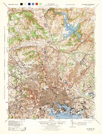 1944 Baltimore1944 Print · USGSMid-century Baltimore and its northern suburbs are shown in exceptional detail at the height of the war years. Local historians can trace the early footprints of Johns Hopkins University, the defenses at Fort McHenry, and the rural character of Green Spring Valley before modern development.
 - 1944 Map of Reisterstown
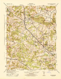 1944 Reisterstown1944 Print · USGSBaltimore County's rural and institutional landscapes come into sharp focus during the mid-1940s. Genealogists and historians can trace the footprint of early schools and estates like Hannah More Academy, Garrison, and the Gwynnbrook State Game Farm.
 - 1948 Map of Baltimore
 1948 Baltimore1948 Print · USGSMaryland and Pennsylvania crossroads are captured in the late 1940s, showing a landscape defined by historic rail lines and major military installations. Genealogists can trace family connections in Gettysburg, Westminster, and near the U.S. Naval Academy in Annapolis.2 unique versions available
 - 1953 Map of Reisterstown, 1955 Print
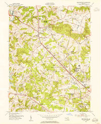 1953 Reisterstown1955 Print · USGSMid-century Baltimore County comes alive in this survey of Reisterstown and its surrounding institutional and rail landscape. Genealogists and historians can trace the foundations of Owings Mills, the Western Maryland Railway, and historic schools like the Hannah More Academy For Girls.6 unique versions available
 - 1954 Map of Baltimore
 1954 Baltimore1954 Print · USGSThe Mid-Atlantic region in the early fifties shows a landscape of growing suburban centers and heavy rail corridors. Trace mid-century transit networks and military landmarks from the Aberdeen Proving Ground to the Gettysburg National Military Park.
 - 1956 Map of Baltimore
 1956 Baltimore1956 Print · USGSMid-century Maryland and Pennsylvania are captured here during a period of massive suburban and military growth across the Chesapeake region. Genealogists and historians can trace the rail corridors of the Baltimore & Ohio RR and locate landmarks like Fort McHenry or the Aberdeen Proving Ground.
 - 1957 Map of Cockeysville, 1958 Print
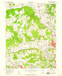 1957 Cockeysville1958 Print · USGSBaltimore County in the mid-fifties is captured here as suburban growth begins to follow the rail lines and valleys north of the city. Genealogists and local researchers can trace old estates and institutions such as Saters Ch, Druid Ridge Cemetery, and the Villa Julia Jr College.6 unique versions available
 - 1957 Map of Baltimore, 1964 Print
 1957 Baltimore1964 Print · USGSMaryland and Southern Pennsylvania are shown during the mid-century expansion of the Baltimore-Washington corridor. Researchers can trace the extensive rail lines of the Baltimore & Ohio RR and locate sites like Fort Detrick and Gettysburg National Military Park.5 unique versions available
 - 1961 Map of Baltimore
 1961 Baltimore1961 Print · USGSMaryland and Pennsylvania are captured at a mid-century peak of industrial and military expansion. Genealogists and historians can trace rail corridors like the Western Maryland Ry or locate regional landmarks such as Camp Detrick and Kent Island.
 - 1984 Map of Baltimore
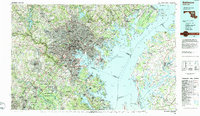 1984 Baltimore1984 Print · USGSThe Baltimore and Annapolis corridor in the mid-eighties shows a landscape of rapid suburban growth and deep-seated maritime history. Researchers can trace the massive footprints of the U S Naval Academy, Fort George G Meade, and Goddard Space Flight Ctr.
 - 1989 Map of Baltimore
 1989 Baltimore1989 Print · USGSThe Mid-Atlantic corridor in the late eighties is captured here, from the Baltimore harbor to the Blue Ridge foothills. Researchers can trace the sprawling footprints of Aberdeen Proving Ground, the historic grounds of Gettysburg National Military Park, and the winding Susquehanna River.
 - 2011 Map of Reisterstown, 2011 Print
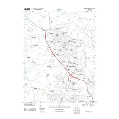 2011 Reisterstown2011 Print · USGSBaltimore County at the start of the 2010s shows a landscape of growing residential enclaves and preserved natural barrens. Genealogists and local historians can locate specific landmarks like the Maryland National Veterans Cemetery or trace the legacy of the Soldiers Delight Mine.
 - 2011 Map of Cockeysville, 2011 Print
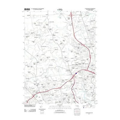 2011 Cockeysville2011 Print · USGSMaryland's Piedmont region in the early 2000s shows a complex blend of historic iron mines and modern suburban expansion. Trace the remnants of the Oregon Ore Bank, locate the Maryland State Fair Grounds, or find family roots near Druid Ridge Cemetery.
 - 2014 Map of Reisterstown, 2014 Print
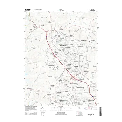 2014 Reisterstown2014 Print · USGSBaltimore County suburban life and historical memorial grounds are well-documented in this early twenty-first-century survey. Genealogists and local historians can trace family sites from Maryland National Veterans Cem to Reisterstown and Emory Grove.
 - 2014 Map of Cockeysville, 2014 Print
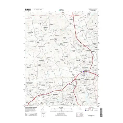 2014 Cockeysville2014 Print · USGSBaltimore County's hunt country and suburban corridors are shown in high detail during the early 2010s. Researchers can trace local landmarks like Druid Ridge Cem, the community of Texas, and the campus of Stevenson Univ.
Showing maps 1-25 of 31
Frequently asked questions
- What are the different types of historical maps available for Caves Forest Estates?
- What is the oldest map of Caves Forest Estates?
- Where can I purchase historical maps of Caves Forest Estates for my home or office?
- Where can I download high-res historical maps of Caves Forest Estates?
- Are there historical topographic maps available for Caves Forest Estates?
- Is there historical aerial imagery available for Caves Forest Estates?
- Where are historical maps of Caves Forest Estates sourced from?