Old Maps of East Towson, Towson for Hiking & Exploration
Hike through history with 20 historic maps of East Towson. Explore old trails, ghost towns, and forgotten backroads — perfect for outdoor adventurers and local explorers.
- Rediscover forgotten places: Map out old mining camps, roads, and footpaths that no longer exist on modern maps.
- Layer with modern tools: Combine with LiDAR or satellite views to plan hikes through historical terrain.
- Made for exploration: Popular among hikers, overlanders, and local history lovers.
Use these maps to find adventure and explore the hidden past of East Towson.
East Towson, Towson maps
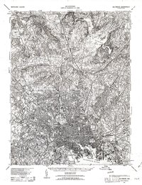
(20)- 1894 Map of Baltimore
 1894 Baltimore1894 Print · USGSMaryland's principal port city and its surrounding country estates are captured in the late nineteenth century as the rail and turnpike networks expanded. Trace the footprints of early landmarks like Cocks Old Tavern, the Marble Quarries, and the fortifications at Ft. Mc. Henry.3 unique versions available
 - 1899 Map of Baltimore
 1899 Baltimore1899 Print · USGSMaryland's principal port city is captured at the close of the nineteenth century as its urban grid begins to push into the surrounding countryside. Genealogists and local historians can trace the early rail stops at Pikesville Sta., the institutional grounds of Sheppard Asylum, and the historic defenses at Fort McHenry.2 unique versions available
 - 1904 Map of Baltimore
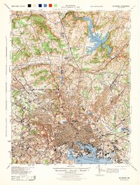
 1904 Baltimore1904 Print · USGSMaryland's harbor city and its northern suburbs are shown in great detail shortly after the turn of the century. Genealogists and historians can trace the early growth of Sudbrook Park, the industrial footprint of Ashland Furnace, and the defensive grounds of Fort McHenry.8 unique versions available
 - 1908 Map of Patapsco
 1908 Patapsco1908 Print · USGSMaryland's central corridor at the opening of the twentieth century reveals a dense network of harbor defenses and rail-line economies. Genealogists and historians can trace the foundations of Baltimore alongside local landmarks like Ashland Furnace, St Charles College, and Fort McHenry.4 unique versions available
 - 1943 Map of Baltimore, 1963 Print
 1943 Baltimore1963 Print · USGSMaryland's principal port city and the rolling hills of Baltimore County are shown here during the Second World War. Researchers can trace the heritage of the harbor and northern suburbs, identifying landmarks like Fort McHenry National Mon, Loudon Park National Cem, and the old Ashland Furnace.3 unique versions available
 - 1944 Map of Towson
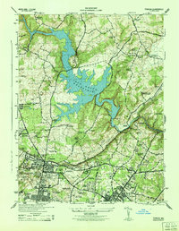 1944 Towson1944 Print · USGSMid-century Baltimore County shows a landscape of growing academic campuses and quiet reservoir shores just north of the city limits. Researchers can trace the footprints of Goucher College, the Loch Raven Dam, and local landmarks like Cromwell Bridge.2 unique versions available
 - 1944 Map of Baltimore
 1944 Baltimore1944 Print · USGSMid-century Baltimore and its northern suburbs are shown in exceptional detail at the height of the war years. Local historians can trace the early footprints of Johns Hopkins University, the defenses at Fort McHenry, and the rural character of Green Spring Valley before modern development.
 - 1948 Map of Baltimore
 1948 Baltimore1948 Print · USGSMaryland and Pennsylvania crossroads are captured in the late 1940s, showing a landscape defined by historic rail lines and major military installations. Genealogists can trace family connections in Gettysburg, Westminster, and near the U.S. Naval Academy in Annapolis.2 unique versions available
 - 1954 Map of Baltimore
 1954 Baltimore1954 Print · USGSThe Mid-Atlantic region in the early fifties shows a landscape of growing suburban centers and heavy rail corridors. Trace mid-century transit networks and military landmarks from the Aberdeen Proving Ground to the Gettysburg National Military Park.
 - 1956 Map of Baltimore
 1956 Baltimore1956 Print · USGSMid-century Maryland and Pennsylvania are captured here during a period of massive suburban and military growth across the Chesapeake region. Genealogists and historians can trace the rail corridors of the Baltimore & Ohio RR and locate landmarks like Fort McHenry or the Aberdeen Proving Ground.
 - 1957 Map of Towson, 1958 Print
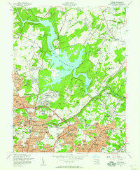 1957 Towson1958 Print · USGSMid-century Baltimore County shows a mix of suburban growth and institutional presence surrounding the massive Loch Raven Reservoir. Local historians can trace early neighborhood footprints in Rodgers Forge and locate landmarks like Goucher College and the Loch Raven Dam.4 unique versions available
 - 1957 Map of Baltimore, 1964 Print
 1957 Baltimore1964 Print · USGSMaryland and Southern Pennsylvania are shown during the mid-century expansion of the Baltimore-Washington corridor. Researchers can trace the extensive rail lines of the Baltimore & Ohio RR and locate sites like Fort Detrick and Gettysburg National Military Park.5 unique versions available
 - 1961 Map of Baltimore
 1961 Baltimore1961 Print · USGSMaryland and Pennsylvania are captured at a mid-century peak of industrial and military expansion. Genealogists and historians can trace rail corridors like the Western Maryland Ry or locate regional landmarks such as Camp Detrick and Kent Island.
 - 1984 Map of Baltimore
 1984 Baltimore1984 Print · USGSThe Baltimore and Annapolis corridor in the mid-eighties shows a landscape of rapid suburban growth and deep-seated maritime history. Researchers can trace the massive footprints of the U S Naval Academy, Fort George G Meade, and Goddard Space Flight Ctr.
 - 1989 Map of Baltimore
 1989 Baltimore1989 Print · USGSThe Mid-Atlantic corridor in the late eighties is captured here, from the Baltimore harbor to the Blue Ridge foothills. Researchers can trace the sprawling footprints of Aberdeen Proving Ground, the historic grounds of Gettysburg National Military Park, and the winding Susquehanna River.
 - 2011 Map of Towson, 2011 Print
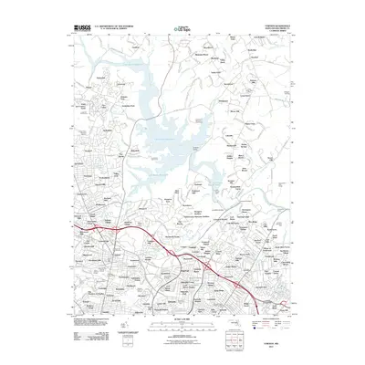 2011 Towson2011 Print · USGSCovers East Towson, including Towson, Towson, and other nearby areas
 - 2014 Map of Towson, 2014 Print
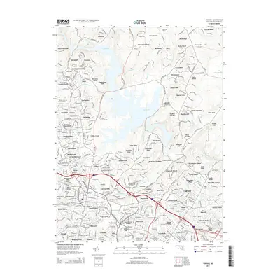 2014 Towson2014 Print · USGSCovers East Towson, including Towson, Towson, and other nearby areas
 - 2016 Map of Towson, 2016 Print
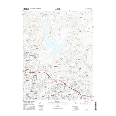 2016 Towson2016 Print · USGSCovers East Towson, including Towson, Towson, and other nearby areas
 - 2019 Map of Towson, 2019 Print
 2019 Towson2019 Print · USGSCovers East Towson, including Towson, Towson, and other nearby areas
 - 2023 Map of Towson, 2023 Print
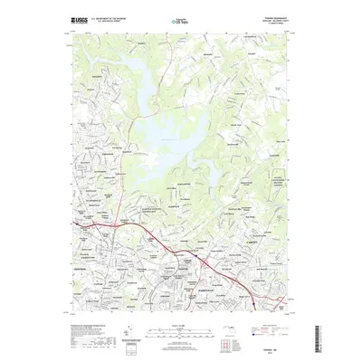
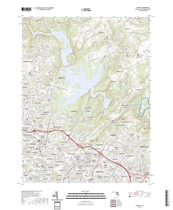 2023 Towson2023 Print · USGSBaltimore County's landscape near the Gunpowder Falls is captured here in its modern residential and preserved state. Genealogists can trace family footprints at the Merryman Family Cem, while historians can examine the Hampton National Historic Site and the legacy of Merrymans Mill.
End of results
Showing maps 1-20 of 20
Top cities near East Towson
- Baltimore historical maps
- Dundalk historical maps
- Towson historical maps
- Towson historical maps
- Ellicott City historical maps
- Catonsville historical maps
See more
Top neighborhoods of East Towson
Frequently asked questions
- What are the different types of historical maps available for East Towson?
- What is the oldest map of East Towson?
- Where can I purchase historical maps of East Towson for my home or office?
- Where can I download high-res historical maps of East Towson?
- Are there historical topographic maps available for East Towson?
- Is there historical aerial imagery available for East Towson?
- Where are historical maps of East Towson sourced from?