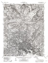
1943 Map of Baltimore
USGS Topo · Published 1963About this map
Baltimore and its surrounding countryside are captured during the mid-war period, revealing a dense urban core transitioning into rural industrial and farming landscapes. The city's maritime and military infrastructure is prominent along the Patapsco River, anchored by the Fort McHenry National Mon and industrial landmarks like Ashland Furnace. The map traces the early suburban expansion along major arteries like York Road and Falls Road, while north of the city, the Loch Raven Reservoir and Chestnut Ridge dominate the terrain. Genealogists can locate family names in outlying settlements like Blenheim and Cockeysville, or trace ancestral resting places at Loudon Park National Cem. This military-origin survey provides a precise view of the city's rail-heavy economy, dominated by the Baltimore and Ohio RR and Pennsylvania RR corridors that fueled the region's growth.
Find a feature on this map
181 named features on this map. Tap any name to fly to it.
Don’t see what you’re looking for? This feature index may not catch every label — zoom into the map to look around manually.
Map Details
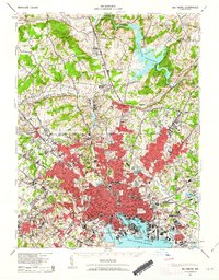
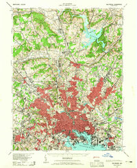
Editions of this 1943 Baltimore Map
3 editions found
Other maps of this area

1892 · Laurel
USGS Topo · 1:62,500

1892 · Ellicott
USGS Topo · 1:62,500

1893 · North Point
USGS Topo · 1:62,500

1893 · Gunpowder
USGS Topo · 1:62,500

1894 · Ellicott
USGS Topo · 1:62,500

1894 · Laurel
USGS Topo · 1:62,500

1894 · Baltimore
USGS Topo · 1:62,500

1894 · Relay
USGS Topo · 1:62,500

1897 · Laurel
USGS Topo · 1:62,500

1898 · Tolchester
USGS Topo · 1:125,000