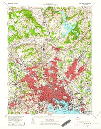
1943 Map of Baltimore
USGS Topo · Published 1963About this map
Baltimore's industrial and urban footprint expanded significantly by the early 1940s, as shown in this detailed portrait of the city and its rural northern reaches. The inner harbor, centered on the Basin and North West Harbor, reveals a dense network of piers and rail yards serving the Pennsylvania RR and Baltimore and Ohio RR. Beyond the city's red-tinted residential core, institutional landmarks like Johns Hopkins Univ and the State Penitentiary stand alongside historic green spaces such as Druid Hill Park and Patterson Park.
Find a feature on this map
200 named features on this map. Tap any name to fly to it.
Don’t see what you’re looking for? This feature index may not catch every label — zoom into the map to look around manually.
Map Details
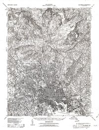
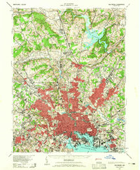
Editions of this 1943 Baltimore Map
3 editions found
Other maps of this area

1892 · Laurel
USGS Topo · 1:62,500

1892 · Ellicott
USGS Topo · 1:62,500

1893 · North Point
USGS Topo · 1:62,500

1893 · Gunpowder
USGS Topo · 1:62,500

1894 · Ellicott
USGS Topo · 1:62,500

1894 · Laurel
USGS Topo · 1:62,500

1894 · Baltimore
USGS Topo · 1:62,500

1894 · Relay
USGS Topo · 1:62,500

1897 · Laurel
USGS Topo · 1:62,500

1898 · Tolchester
USGS Topo · 1:125,000