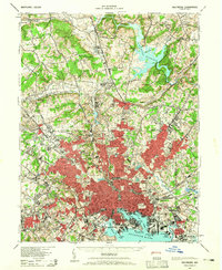
1943 Map of Baltimore
USGS Topo · Published 1965About this map
Baltimore's industrial and urban footprint during the early 1940s is shown here, dominated by the dense grid stretching north from the Baltimore Harbor. The waterfront is a hub of maritime and transit activity, featuring Fells Point, Locust Point, and the iconic Fort McHenry National Mon. Beyond the city center, the map illustrates the northward expansion into Towson and the rural reaches of Chestnut Ridge.
Find a feature on this map
193 named features on this map. Tap any name to fly to it.
Don’t see what you’re looking for? This feature index may not catch every label — zoom into the map to look around manually.
Map Details
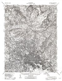
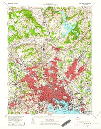
Editions of this 1943 Baltimore Map
3 editions found
Other maps of this area

1892 · Laurel
USGS Topo · 1:62,500

1892 · Ellicott
USGS Topo · 1:62,500

1893 · North Point
USGS Topo · 1:62,500

1893 · Gunpowder
USGS Topo · 1:62,500

1894 · Ellicott
USGS Topo · 1:62,500

1894 · Laurel
USGS Topo · 1:62,500

1894 · Baltimore
USGS Topo · 1:62,500

1894 · Relay
USGS Topo · 1:62,500

1897 · Laurel
USGS Topo · 1:62,500

1898 · Tolchester
USGS Topo · 1:125,000